
Y Das from Rhiw Cwnstab to the northwest, near the Wern Frank Wood cairn. The barrow, which I still haven’t found after two attempts, is set back from the edge of escarpment towards the left hand end.
Image credit: A. Brookes (19.3.2022)

Y Das from Rhiw Cwnstab to the northwest, near the Wern Frank Wood cairn. The barrow, which I still haven’t found after two attempts, is set back from the edge of escarpment towards the left hand end.

Further landscape context from the north-east, above Cwm Dwr-y-Coed. The cairn is on the ridge, upper left.

The glorious view across the cairn towards Y Grib ridge to the left (the Bwlch Bach a’r Grib cairn is intervisible), with Mynydd Troed beyond and the Brecon Beacons beyond that on the skyline.

Looking southeast towards Pen y Manllwyn.

Looking ENE across the top of the cairn towards the top of the ridge.

Looking WNW across the flat top of cairn towards Talgarth. A modern marker cairn stands on a prominent knoll down the ridge to the left.

The cairn from the east. Pen y Fan is the prominent mountain, far left skyline, Y Mynydd Ddu the distant range, left of centre.

Landscape context from the southeast, above Cwm y Nant. The cairn is the “bump” on the crest of the ridge, right. Apologies for lack of sharpness, the gale-force gusts made it difficult to stand still.

Retrospective view from the top of the Y Grib ridge. The cairn tops the rounded green summit just to the left of centre. Mynydd Troed rises on the left, Pen y Fan and the central Brecon Beacons beyond that. Centre would be the Fforest Fawr summits, and the further mountains on the far horizon are the wonderful peaks of Y Mynydd Ddu. And many, many monuments scattered throughout this landscape. Howling gale not pictured.

Looking down on Pen y Grib and Bwlch Bach a’r Grib from partway up the Y Grib ridge. The cairn is on top of the grassy summit in the centre.

Looking northwest into Mid-Wales. The town far below on the right is Talgarth, where I started and finished this walk.

Looking south into the sun along the Rhiangoll valley, with the prow of Pen Allt Mawr (more cairns) dark on the skyline.

The top of the cairn, with what may be cist slabs exposed. The long near-mountain ahead is Mynydd Troed, Pen y Fan standing sentinel beyond on the right.

Looking northeast, with Y Das and Mynydd Bychan straight ahead, Y Grib on the right.

Approaching from the southwest, the first sight of the cairn after cresting the first steep climb. Beyond the cairn to the right, the excellent Y Grib ridges climbs the Black Mountains escarpment.

The northeastern aspect of the excellent hillfort. Apologies for any shakiness; the wind was blowing a gale, despite the lovely sunshine.


Approaching from the southeast, hoping in vain to get a sunset.

Approaching sunset, zoom on Belas Knap seen from the top of Cleeve Hill.

Recent erosion, exposing the limestone that makes up the bank.

The western side of the earthwork.

The southwestern arc.

The northeastern arc of the earthwork.

The site from the southeast, looking towards Oxenton Knolls (left of centre) and Bredon Hill (entre, beyond).

And paying lip service to not ploughing the NW barrow.

Paying lip service to not ploughing the SE barrow.

Landscape context from Seven Wells Hill (near Broadway Tower) on the Cotswolds escarpment: Bredon Hill is the prominent hill in the distance on the right. The viewpoint is in Worcestershire, just below the Gloucestershire border which is further up the hill.


The south-eastern barrow, with the central barrow over to the right. Swansea Bay and The Mumbles can be seen far left.


The central barrow, looking uphill towards the Llyndwr Fawr barrow group. The most prominent of those, with trig pillar on top, can just be seen to the right of the righthand wind turbine.

The top of the central barrow. There’s plenty of stone, but no sign of anything obviously structural.

The central barrow, with the south-eastern behind on the right.
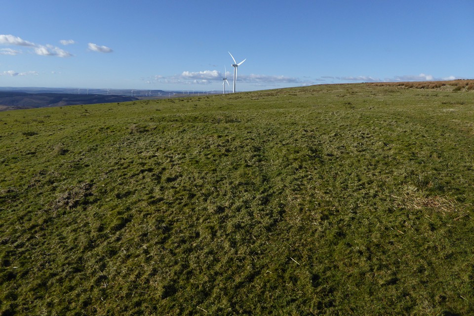

The northwestern barrow, rather ploughed down but great views across to Exmoor.

The very ploughed-down barrow at the SW end of the group. Looking towards Exmoor (far left) across the Hafren.

Looking SW from one of the barrows at the southwestern end of the group. Swansea Bay and Mumbles can be seen in the distance.


The barrow with the trig is most prominent of the group.

Looking towards the distant mountains of Y Mynydd Ddu.

The barrow with the trig, another behind to the left. Looking east towards Werfa.

Barrow immediately NE of the barrow with the trig pillar. Corn Du and Pen y Fan can be seen on the far left skyline,
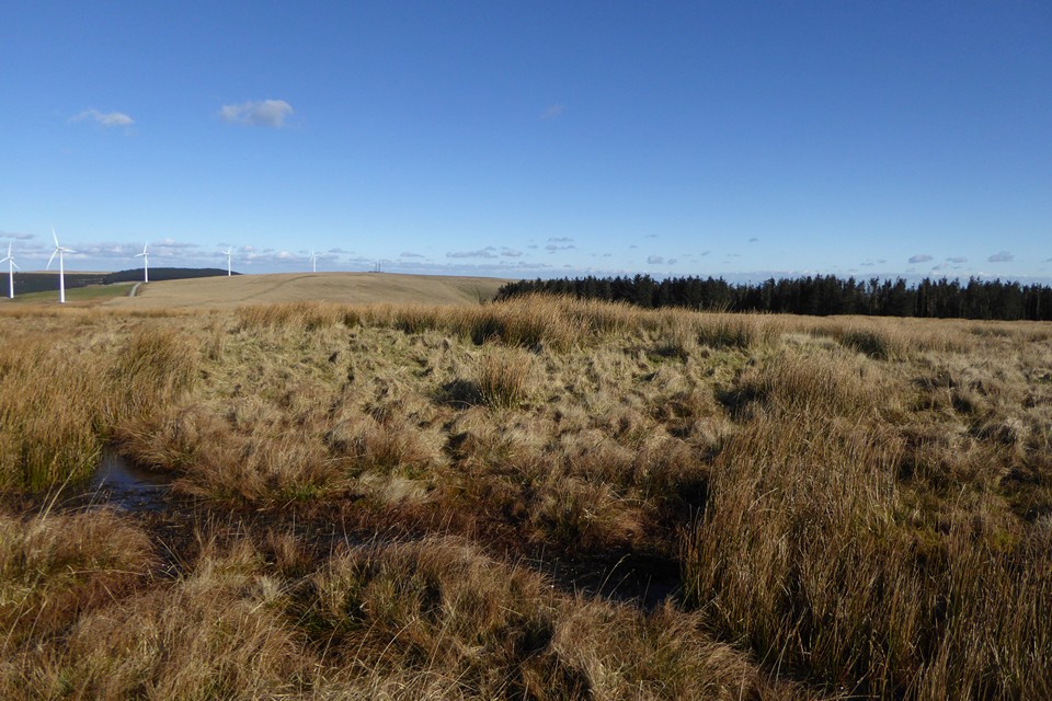
The north-easternmost barrow, looking towards Werfa.