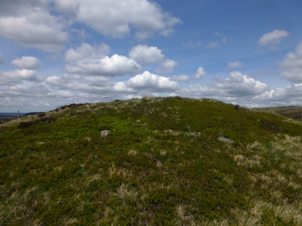
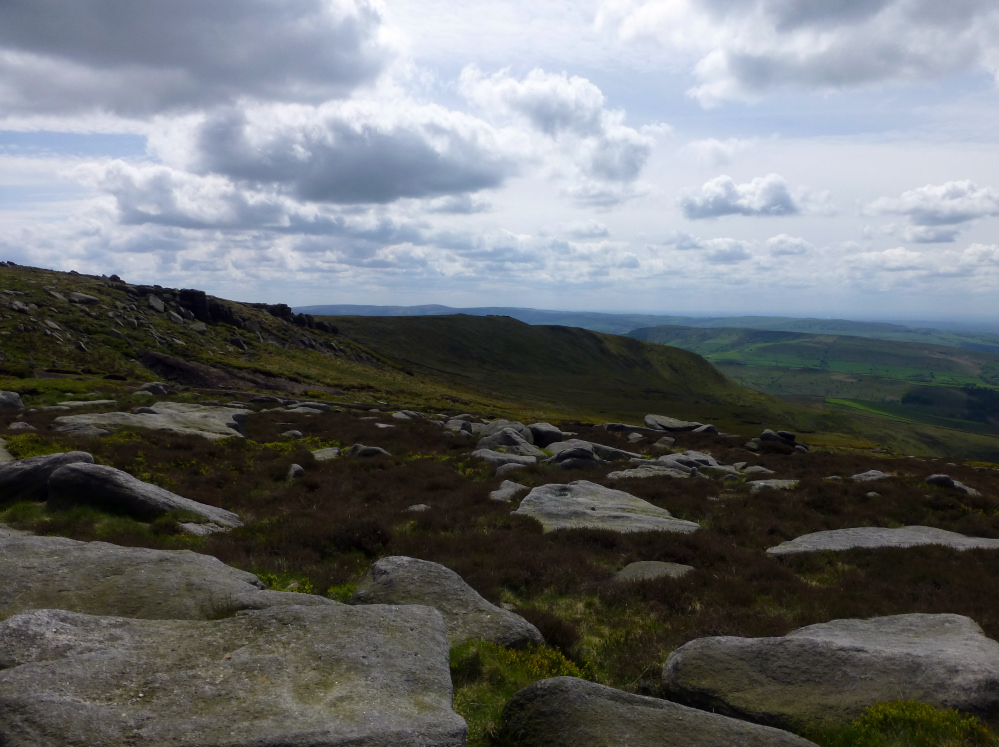
There’s a decent sized barrow here, in a beautiful location.

The barrow in its precarious cliff top position (centre). Erosion is bringing the edge ever closer.

The southern flank of the southern promontory, looking down on Warren Cove. St Agnes Beacon can just be made out on the distant left horizon.

Looking across the southern promontory ramparts towards Dinas Head.

The ramparts on the southern promontory.

Pepper Cove, separating the southern and central promontories.

Inner bank and ditch of the central promontory.

Outer bank and ditch of the central promontory, looking across to the northern promontory.
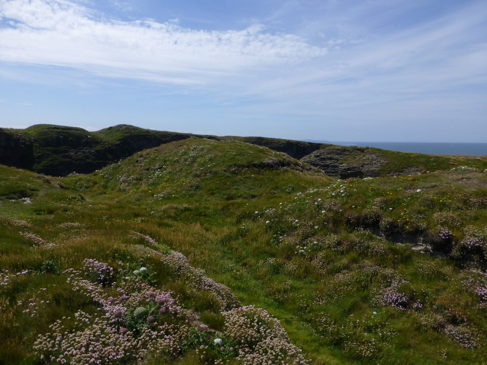
The ramparts and entrance of the central promontory, with the ramparts of the southern promontory visible beyond.

Wind and waves have scoured the edges of the northern promontory down to bare rock.

The best-preserved section of the rampart on the northern promontory.

Looking along the rampart of the northern promontory across Treyarnon Bay. The prominent headland on the left skyline is Dinas Head, site of a nice kerbed round barrow.
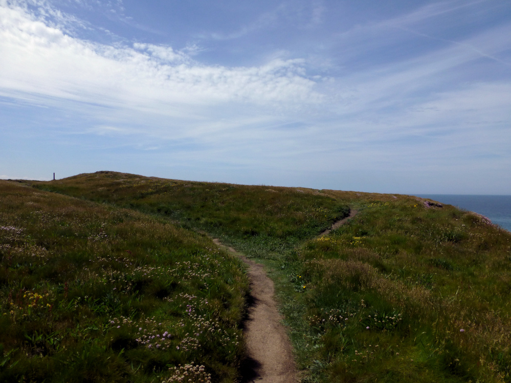
The single rampart of the northern promontory.
Theories differ as to whether this was originally one large cliff fort comprising a wide promontory, two separate forts now split into three, or whether there were always three separate promontories each with its own ramparts.
Either way, there are three now, separated by Wine Cove and Pepper Cove.
From Cornwall & Scilly HER:
Winecove Point is a complex site of uncertain development consisting of three promontories each with ramparts of various construction. It is assumed to have originated as one cliff castle, subsequently in part eroded away, but it may have developed as one organisation based on the three promontories. Each part of the site is described below; there has been very little work done on this site and the only finds known are a hearth exposed in a cliff face, and at least one spindle whorl has been found here. Such finds indicate that the site was occupied, but the extent of internal activity remains quite unknown. More work is needed on this site. The site is included in the Schedule.
The northernmost promontory of the cliff castle at Winecove Point possibly is a separate cliff castle in its own right. It is defended from the mainland by a single rock-cut ditch 0.3m deep with an inner bank 0.4m high. The rampart is much eroded and silted, as is the rest of the promontory, which is exposed to the worst of the weather. The rampart is continuous but rather lower in the middle, as if for an entrance. There seem to have been no finds in the area, and no evidence for occupation of the site.
The middle of the three promontories that form the Winecove Point cliff castle is better preserved than the others, and is defended by a double ditch with narrow central entrance. A further ditch is said locally to have originated as a track for a steam engine raising marble from a wreck in the cove below. A hearth is visible in the cliff section at SW 8537 7370, on the north-west side of the eroded cliff. A spindle whorl was found in a small cave at SW 8544 7371, on the sheltered south face of the cliff. The whorl is 4.0cm across, and ornamented by incised lines (now in possession of Mrs Taylor at Whitworth). The extent of occupation is not certain. The site is much denuded.
The southern of the three promontories that form the Winecove Point cliff castle is defended by three well spaced ramparts, two of which are rock cut. Only the middle one has an accompanying bank and has a central causeway. The other two have staggered entrances towards the southern ends of the ditches. It is suggested that the inner ditch is not contemporary with the other two on account of its straightness. There are a couple of depressions within what the OS call the sole rampart that may be hut circles. There is no evidence of occupation from finds etc.


Looking through the inner doorway to the outer. The interior is filled with bluebells and must have looked spectacular a few weeks ago.

The doorway between the beehive chamber and the rectangular chamber. The corbelling can be seen above the doorway, as can the little alcove to the right.

The original outer doorway into the beehive chamber.

The beehive hut.


With Zennor Hill on the skyline.


One of the massive granite slabs in the kerb, surrounded this year by just-gone-over bluebells.

Towards prominent Carn Galva.

Looking west across the West Penwith Moors towards Carn Kenidjack, visible as a bump on the centre horizon.

The inscribed side, with Nine Maidens Down behind.

Towards Carn Galva and Hannibal’s Carn.


Anyone know when this big hole appeared in the top of the cairn?

A big hole, with an iron bar stuck down it, has appeared in the cairn since last summer. Does anyone know when this happened?
“Residents will get the chance to see the dig in action at the Neolithic Bryn Celli Ddu site during a fortnight-long event which ends with a Summer Solstice celebration.
An ancient tomb on Anglesey will be excavated this summer as part of a two-week long archeology event.
The Neolithic passage tomb of Bryn Celli Ddu is one of Wales’s best-known prehistoric monuments.
The fortnight-long event starts on June 9 and will culminate in a public open day and celebration of the Summer Solstice from June 19-22.
The excavation of the tomb will be led by the Welsh Government’s historic environment service Cadw and Manchester Metropolitan University.
It is hoped it will break new ground exploring the landscape’s ‘rock art’- a term used in archaeology to describe the human-made markings discovered in natural stone.”
More at Daily Post:
Crosswood enclosure could be seen as part of the complex of sites around Four Crosses and Llandysilio. It’s a circular enclosure with an internal ditch, bisected by the road from Rhos to Llandrinio. The road crosses the site about a third of the way from the northern part of the arc, so it’s not an obvious re-use of any original entrances. Sadly the earthwork has been much reduced by ploughing, rather similarly to the nearby line of Offa’s Dyke. It’s best preserved at the northwest, where both the bank and the internal ditch can be made out clearly, albeit not the easiest thing to photograph. Running east the bank gets even further reduced, to the point of near-disappearance.
On the south of the road we couldn’t see anything at all, but this did involve trying to peer through a pretty thick hedge!
Not the most impressive place to visit, but as pretty much the only visible remains of the numerous sites on this flat plan, it’s worth a quick hello.

New Pieces Enclosure (centre), flanked by Breiddin Hill on the left and Moel y Golfa on the right. Seen across the Hafren/Severn from near The Maesydd.

Crowther’s Camp is at the northern end of a long, steep-sided ridge that rises to Yr Allt. Seen here from the Hafren floodplain to the north.

Some landscape context from the other side of the Vale of Edale. The barrow is on the high point of the ridge, centre skyline. Mam Tor is the shadowed eminence further left. Looking down Crowden Clough from the Kinder Scout massif.