
The surviving hut circles from the west.
Image credit: A. Brookes (23.4.2017)

The surviving hut circles from the west.

Coastal context from Porth y Post to the east. Dinas is the far headland, top left.
The List of Historic Place Names of Wales is a groundbreaking and innovative resource that contains hundreds of thousands of place names collected from historical maps and other sources. It provides a fascinating insight into the land-use, archaeology and history of Wales.


Looking towards Falkner’s Circle and the Overton Hill barrows.

Looking SSE from the circle to the magnificent round barrows on Overton Hill.

The Overton Hill group from Avebury 24, a nearly vanished bowl barrow at the southern end of the group, ploughed down without the protection of trees.


Avebury 26 bell barrow at SU 11517 68630.

Avebury 27 and 26 bell barrows.

Superb Avebury 27 bell barrow at SU 11496 68668, one of the iconic group that looks down on West Kennett Avenue.


Avebury 28 bell barrow at SU 11541 68698, the northeastern in the group overlooking West Kennett Avenue.

Avebury 29, looking northeast. The trees on the left are on Avebury 30.

Avebury 29, the first round barrow I visited in the Avebury landscape back in 2008.

Avebury 29 bowl barrow with Spring offering.

Avebury 29 bowl barrow at SU 11661 68802, standing between the Ridgeway and the big group of five barrows looking down on West Kennett.


Life is made of patterns. Avebury 30.

Looking from Avebury 30 down into the valley of West Kennett Avenue, with Waden Hill rising behind.

Avebury 30, Overton Hill. It stands alone, but so many other sites are visible from here.

The superb Avebury 30 bowl barrow, the northernmost barrow of the Overton Hill group.

Avebury 30a, twin mounds inside a single ditch.

Avebury 31 and 32, with the Ridgeway running across the ridge behind.


Avebury 32 beneath its crown of beeches.

Avebury 32 bowl barrow, Avebury Down. The highest hills of Wiltshire on the skyline, more terrific barrows on Overton Hill beneath the beeches in the middle distance, West Kennett Avenue and Waden Hill over on the right.
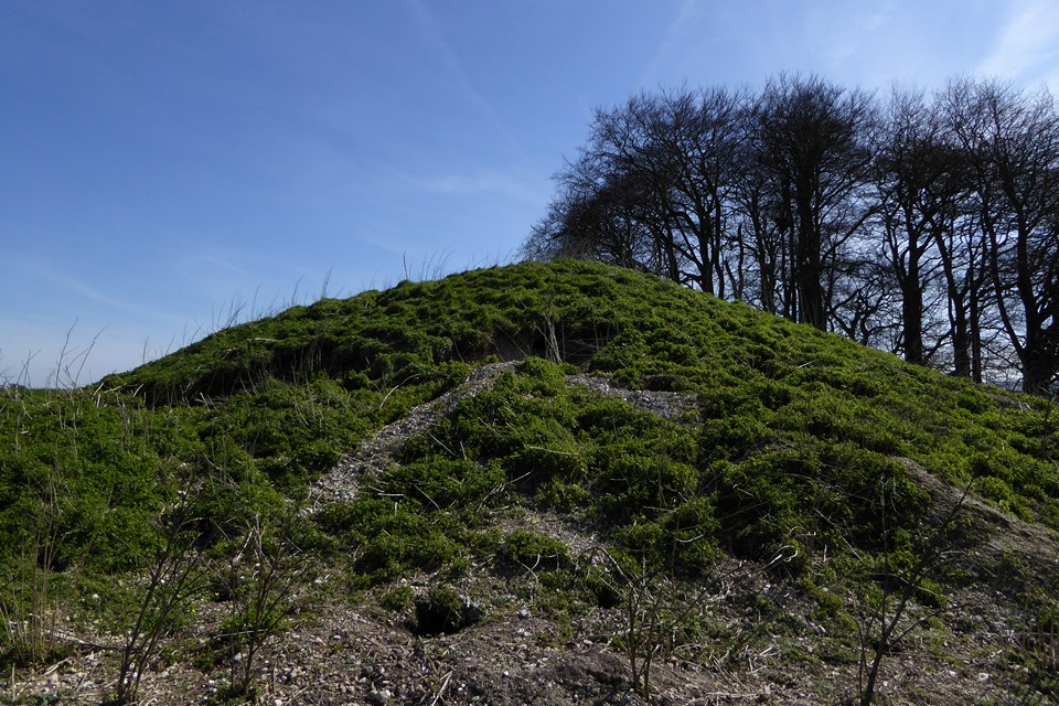
The north side of Avebury 31, showing damage from burrowing critters.

Avebury 31 bowl barrow, Avebury Down. Avebury itself is extreme left of shot.


Showing the apparent kerb of the southern barrow, looking towards Cherhill Down.

Large upright sarsen in the “kerb” of the southern barrow.

Looking northeast towards Fyfield Down. The Mother’s Jam is out of sight below the crest of the down.
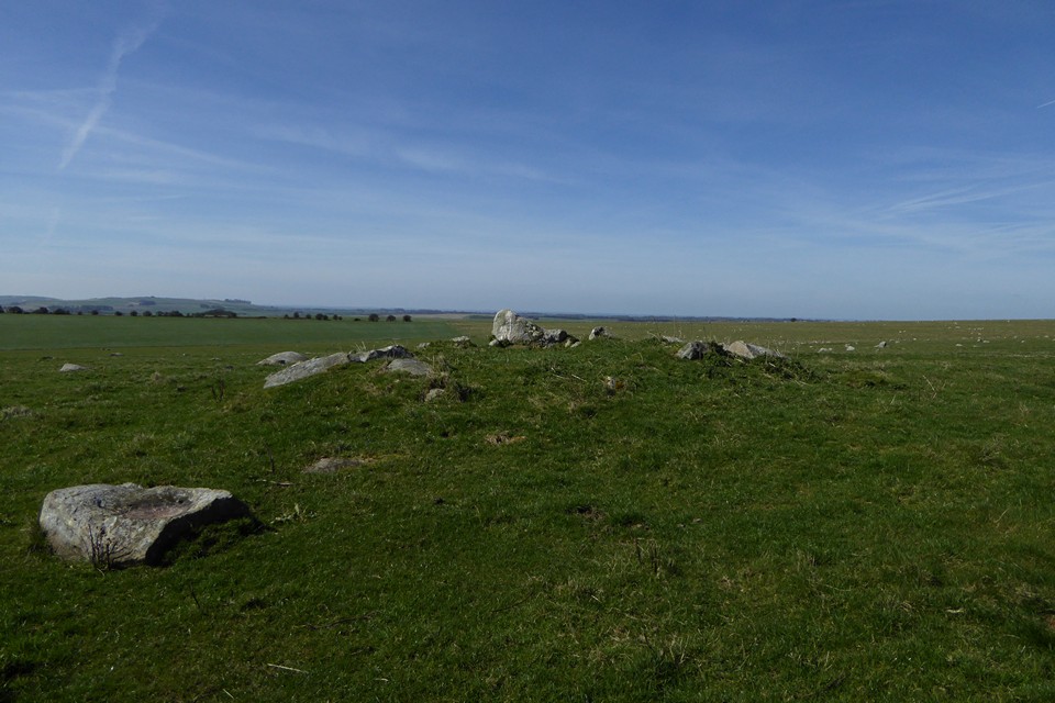
The southern barrow, looking west. The sarsen in the foreground is one of several with a natural basin on its top.

The southern barrow, placed in one of the best viewpoints in the whole Avebury landscape. The skyline encompasses Milk Hill, Tan Hill, King’s Play Hill, Morgan’s Hill and across towards Cherhill Down.


Almost six years on from my previous visit, little has changed.

The northern barrow. Although the earthwork itself is very reduced, the setting is very good with far reaching views. Devil’s Den is down there somewhere.

The northern barrow, less overgrown than my previous visit but still less than impressive as a monument.

The stone with the possible cupmark.

Amongst dozens of stones with natural cups and pits, I came across this one stone with what might be a manmade cupmark on its upper surface. Opinions welcome.

Sarsen drift, Fyfield Down. Essentially this is the northern end of the Mother’s Jam.


Stone 73, next to the eastern entrance, polished smooth – by sliding?

Stone of the northeastern quadrant: northern stone circle, cove and outer ring.

One of the survivors of the northern inner circle.
