
Cairn III, mainly visible due to the arc of stonework exposed on the southwest of the monument.
Image credit: A. Brookes (24.3.2017)

Cairn III, mainly visible due to the arc of stonework exposed on the southwest of the monument.


Cairn II. England is over there somewhere.

Cairn II, showing some stonework amongst the concrete. Barrybados beyond.


Cairn I, looking east towards Nell’s Point.

Cairn I, looking northwest to Little Island.

Friar’s Point I cairn, looking across Watch House Bay towards Cold Knap.
Annotated 3D model of Caer Drewyn by Mark Walters

The well in its atmospheric setting, the outflow running to the clifftop and then dropping straight to the sea.


Looking out to sea(!) across the well-house.

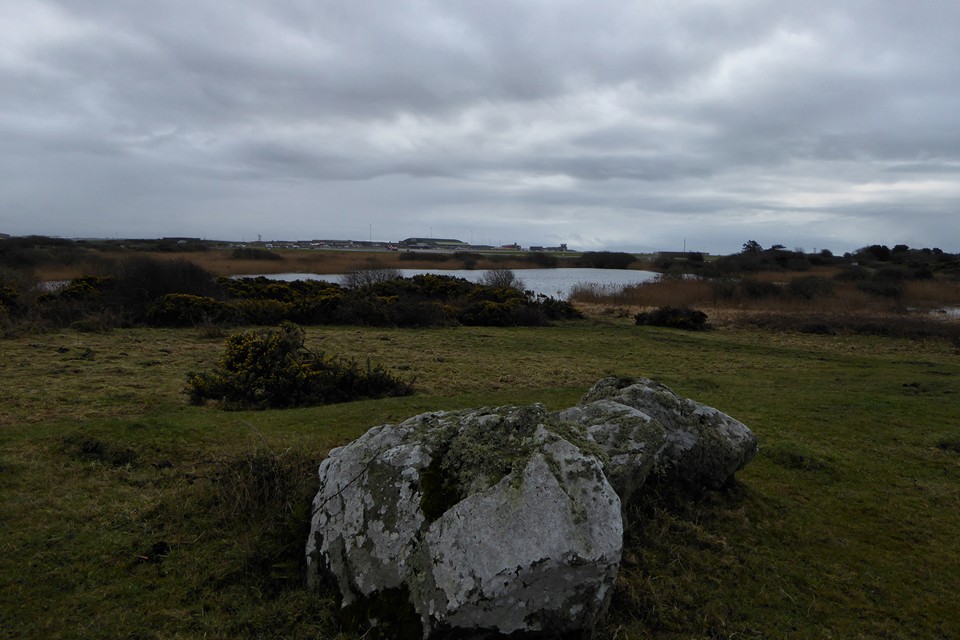
Looking across the remaining part of Llyn Cerrig-bach towards Valley airfield, where the hoard was found during runway extension work. I’m pretty sure that some of the features to the northwest of the lake are not natural, but there’s nothing on any SMR.

Caer y Twr crowning the summit of Holyhead Mountain is the dominant landscape feature when looking westwards across most of Ynys Mon. Seen here at dusk from Rhosneigr.

The chambered tomb in its coastal setting, centre, seen from the northwest. Immediately the right of the covering dome, the summit of Yr Eifl on the Lleyn can be seen.


Looking northwest, with Holyhead Mountain far right.


Built on the exposed rock of the clifftop.

Phosphorescence on the carved stones.

Looking northwest from the reinforced top of the covering dome. Holy Island and Holyhead Mountain far right.

Reverse of image from 6 months earlier, the promontory fort seen across the bay from Barclodiad y Gawres chambered tomb.
A challenging descent by ladder, winch and harness into a prehistoric underworld will open to the public for the first time this year, allowing exploration of shafts and galleries cut deep under Norfolk heathland more than 4,000 years ago.
The extraordinary surface landscape of Grime’s Graves, pockmarked with hundreds of shallow depressions, puzzled people for many centuries until they were identified about 150 years ago as neolithic flint mines.


A rather snatched shot, looking down on the ridiculously massive round barrow at Smitten Corner, to the north east of the highest part of Black Down.


Detail of the bank surrounding the disc(?) barrow to the southwest of the Hardy monument, two round barrows beyond.

Large disc(?) barrow to the southwest of the Hardy monument.

Very low barrow to the south of the Hardy monument.

The round barrow nearest the Kiss Me Hardy monument.

Round barrows downhill to the east of the Hardy Monument. Bronkham Hill beyond has a further extensive barrow group.

The somewhat trashed round barrow immediately east of the Hardy monument.


A magnificent monument, whatever the inaccuracies of the reconstruction.

Looking west towards Hampton Down. The stone circle is not visible from here, due to intervening rising ground.

Towards Chesil Beach and The Swannery.


I climbed into a briar patch for this one Brer Rabbit.

Looking towards Black Down, topped with a Bronze Age barrow cemetery and the Kiss Me Hardy monument.


