


The setting is rather less attractive than it looks in the previous photos. Still a decent monument though.


Lovely old Ministry signs invite the visitor in with an outstretched palm.

Lovely old Ministry of Works signs.

I love the swirly geology of the stones, common to many of Anglesey’s megaliths.


The collapsed northern chamber, with an impressive capstone.


Craig Cwmbychan (left of centre) above Llyn Cwellyn. Seen from the east.

Y Garn emerges from the cloud and rain.

Retrospective from the north, just before we turned the corner to leave Holyhead Bay. The iconic Lleyn hills line the skyline.

Not long after we left a training exercise demonstrated the best way to get to the seaward section.

Looking down on the site from the cliff to the northeast.


The bank. Holyhead Mountain/Caer y Twr is the prominent hill across the bay.

Looking down on the single bank that forms the artificial defences.

The sheer cliffs separating the two parts. Access to the seaward section is now only by boat, or as we discovered shortly, helicopter.

Looking from the landward section to the seaward, higher part. There is a possible hut circle on the seaward part.

The landward part of the site is undermined by an impressive sea arch. Fellow visitors for scale (they came by kayak).

The split of the promontory into two is best seen from the south. If you look hard, you can see a seal’s head in the middle of the bay.

Looking across Holyhead Bay towards Caer y Twr, the most heavily defended Iron Age fort on the island.


The fort occupies an oddly misshapen promontory, it looks like it has been extensively shaped by the builders rather than relying on the natural layout alone.


Caer y Twr on Holyhead Mountain (centre), seen from Traeth y Gribin on the west coast of Ynys Mon’s mainland.


Showing the central boulder. The lovely Penrhosfeilw standing stones are in the green fields, the hills of the Lleyn float on the horizon.
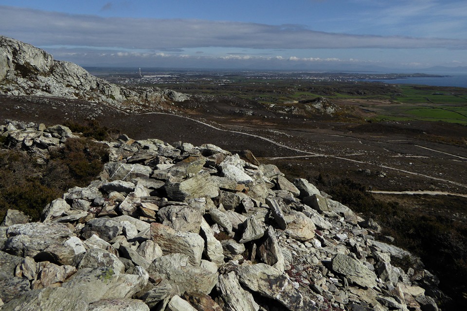
Looking across Anglesey towards a cloud-topped Snowdonia.

The cairn with Holyhead Mountain behind.

On the approach from South Stack. The cairn is on top of the rocky knoll, right of centre above the fenceline.

Sunny landscape perspective from The Range to the south. The fort occupies the highest point, right. Garn cairn is on top of the rocky promontory to the left of that.

From the cliffs to the west above Porth Ruffydd.


The landward aspect of the fort, a low bank across the top is the only sign of a man-made defence. Yr Eifl and the hills of the Lleyn can be seen on the horizon.

The channel virtually cutting the fort off from the mainland. The only way across would be climbing up and down some crumbling cliffs, we didn’t attempt it.

The promontory fort seen from Graig Lwyd to the east.

The building of the road in the background destroyed the Bronze Age barrows and cist burials that were next to the round house settlement.

