


Looking from Carn Leskys to the north. The cairn is on top of the headland, left. Land’s End is the further headland.


The capstone-less northeastern cist.


The midsummer sun shining through the hole in the capstone.

I was unprepared for just how big this monument is.


The badly damaged cairn at SX 2578 7109. The bigger of the two Trewalla cairns can be seen profiled on the skyline to the left of the chimney.

The wide, low eastern cairn at SX 2502 7196, looking WNW.

The top of the eastern cairn at SX 2502 7196, looking towards Tregarrick Tor. The stone circle is on the same line, but the fallen stones are not easy to see even from this close.

The easternmost cairn on Craddock Moor, to the NE of the stone circle at SX 2502 7196. Stowe’s Pound is far left, Caradon Hill to the right.

Looking across the stone circle towards Tregarrick Tor.


The southern arc, still keeping its head above the turf after being cleared a couple of years ago.


Section of bank surrounding the eastern cairn.

Looking down on the western cairn from the eastern. The western cairn is much smaller – visible as a lighter green circle with a small amount of stonework showing (to the right of centre).

The top of the eastern cairn. Walla Barrow is down in the valley below but not visible due to the slope of the hillside.


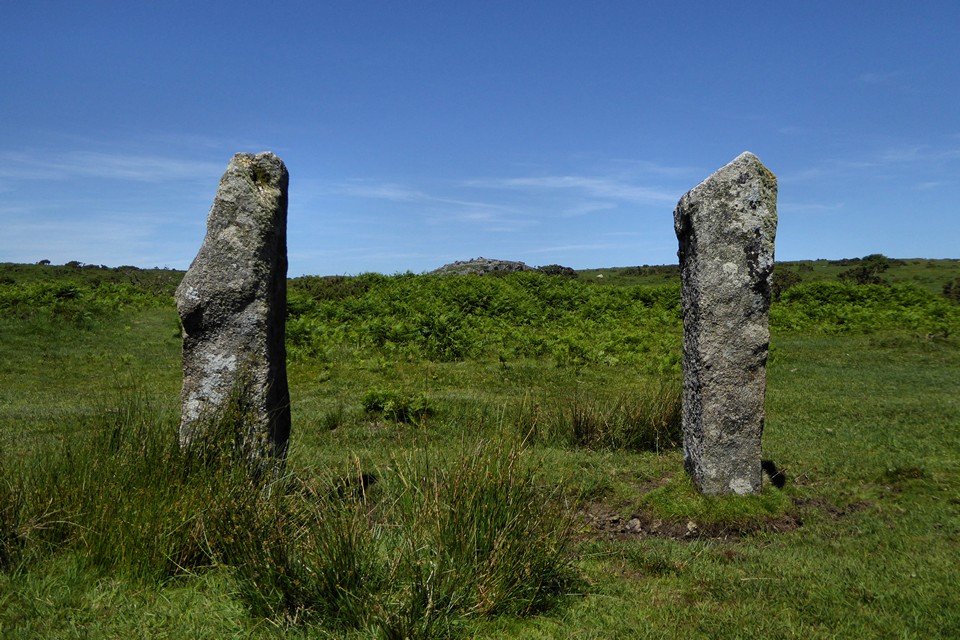
Another view of the small “standing” stone at SX 25147116, with Caradon Hill behind.

Small upright stone just downhill from the cairns at SX 25147116, on the way up from Walla Barrow. The Cornwall HER suggests it is natural, but I’m not so sure.

Looking southwest. A winter visit would unveil the cairn from the midsummer bracken.

Looking southeast towards the television mast on Caradon Hill. The cairn is unusual for the area, in that it sits down in a shallow valley with no intervisibility with other monuments.

The top of the cairn. The engine house of the New Phoenix Mine is visible over the brow of the hill. It’s close to the Trewalla cairns, which can’t be seen from here.

Looking west-ish across the bracken covered cairn.

Looking southeast towards Caradon Hill.
Looking north towards Stowe’s Pound and the Cheesewring.

Stones of the central circle, with the northern circle in the background.

Looking down on the circles on the approach from the Rillaton Barrow to the north.

The eastern side of the Barrow.

The slabs of the chamber, with lovely green phosphorescent moss growing in between.

The chamber in the side of the Barrow.

The cratered top of the Barrow, looking towards the low cairn adjacent and Stowe’s Pound to the right.

The Rillaton Barrow from the northwest.

A few yards to the north of Rillaton Barrow at SX 2600 7194 is this very low cairn, which has probably been extensively robbed for its stone. The Rillaton Barrow is immediately behind on the right, Caradon Hill (with 19 Bronze Age cairns of various shapes and sizes) fills the view beyond, with Dartmoor on the far left skyline.

Well-preserved courses of walling on the west of the northern enclosure.

The sunken pathway leading into the western side of the northern enclosure.

The northern section of the lower enclosure. The higher southern enclosure rises on the left.

Northeastern section of rampart of the larger northern enclosure.

The view northwest from the topmost rocks of the enclosure. The prominent hill on the distant skyline to the right is Brown Willy, the highest ground in Cornwall.

Rock basins on one of the outcrops inside the southern enclosure. Looking towards Caradon Hill, which boasts 19 Bronze Age round cairns.

The northeastern curve of the southern enclosure. The rampart of the much larger and lower northern enclosure can be seen curving in parallel to the right, with Sharptor behind.

The eastern wall of the southern enclosure, looking towards the Merry-making Stone.
