

thesweetcheat


Looking down on the fort (centre) from the slopes below Mire Lake NW settlement.
Image credit: A. Brookes (10.3.2019)

Looking out from the fort, across the low remains of the bank. Mire Loch NW settlement is prominent on top of the hill behind.
Image credit: A. Brookes (10.3.2019)


Landscape context from the west. The fort occupies the small headland (centre of shot). St Abb’s Head rises behind.
Image credit: A. Brookes (10.3.2019)


Looking east towards St Abb’s Head from the eastern fort.
Image credit: A. Brookes (10.3.2019)

Standing inside the eastern fort, looking towards the western fort.
Image credit: A. Brookes (10.3.2019)

Outer defences of the eastern fort, with Coldingham Loch beyond.
Image credit: A. Brookes (10.3.2019)

The western fort from the outer bank of the eastern fort, showing the multiple lines of banks and ditches.
Image credit: A. Brookes (10.3.2019)

One of the round house platforms in the western fort.
Image credit: A. Brookes (10.3.2019)


Multiple lines of banks and ditches of the western fort, looking towards Coldingham Loch.
Image credit: A. Brookes (10.3.2019)

Looking northwest along the coast from the western fort.
Image credit: A. Brookes (10.3.2019)


Possible remains of an entrance at the southeast of the site.
Image credit: A. Brookes (10.3.2019)


The northernmost part of the rampart is formed by the natural outcrop. Looking towards St Abb’s Head.
Image credit: A. Brookes (10.3.2019)


Looking southeast towards St Abbs and Eyemouth.
Image credit: A. Brookes (10.3.2019)
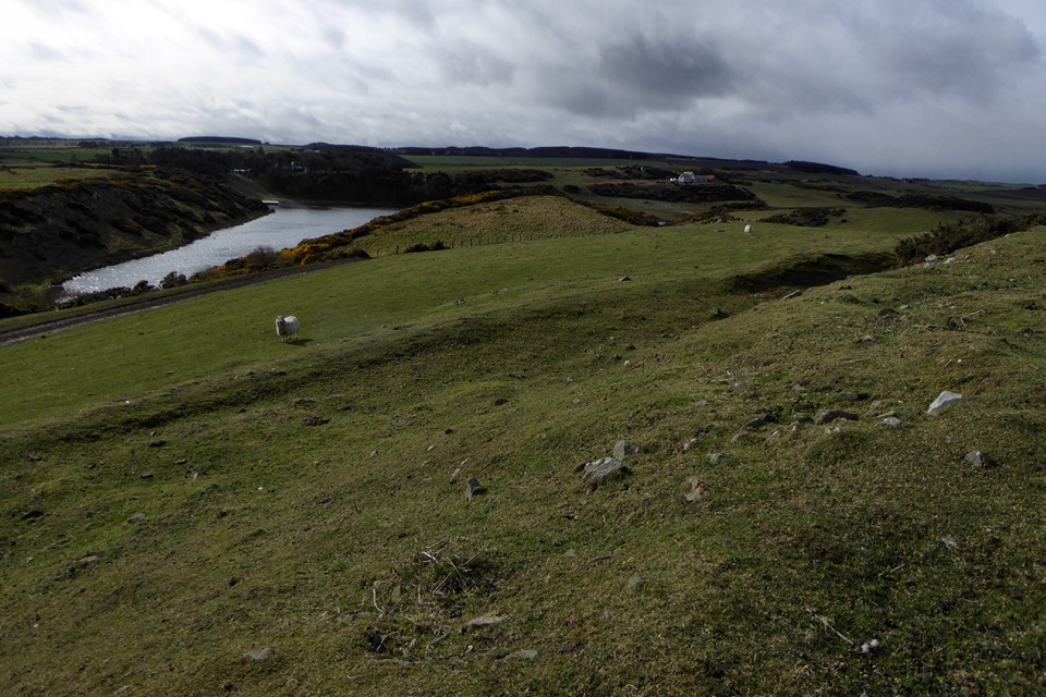
Southwestern rampart and Coldingham Loch.
Image credit: A. Brookes (10.3.2019)

The settlement seen from the road to the southwest.
Image credit: A. Brookes (10.3.2019)


Looking towards the snow-covered Cheviot.
Image credit: A. Brookes (9.3.2019)


Looking east. The neighbouring Black Cliff fort occupies the far left end of the ridge in the background.
Image credit: A. Brookes (27.2.2019)


Steep, stone-strewn slopes below the northeastern side of the fort.
Image credit: A. Brookes (27.2.2019)

Looking north towards Uphill, the semi-derelict St Nicholas’ church and Uphill Beacon tower.
Image credit: A. Brookes (23.2.2019)

Looking west. Brean Down rises to the right.
Image credit: A. Brookes (23.2.2019)


Looking southeast. Not easy to see in the haze, but Brent Knoll hillfort rises from the surrounding flatlands, to the right of the barrow.
Image credit: A. Brookes (23.2.2019)


The cairn at ST 29135 58925 on the eastern summit is very prominent when seen from the path on the lower slopes of the Down.
Image credit: A. Brookes (23.2.2019)