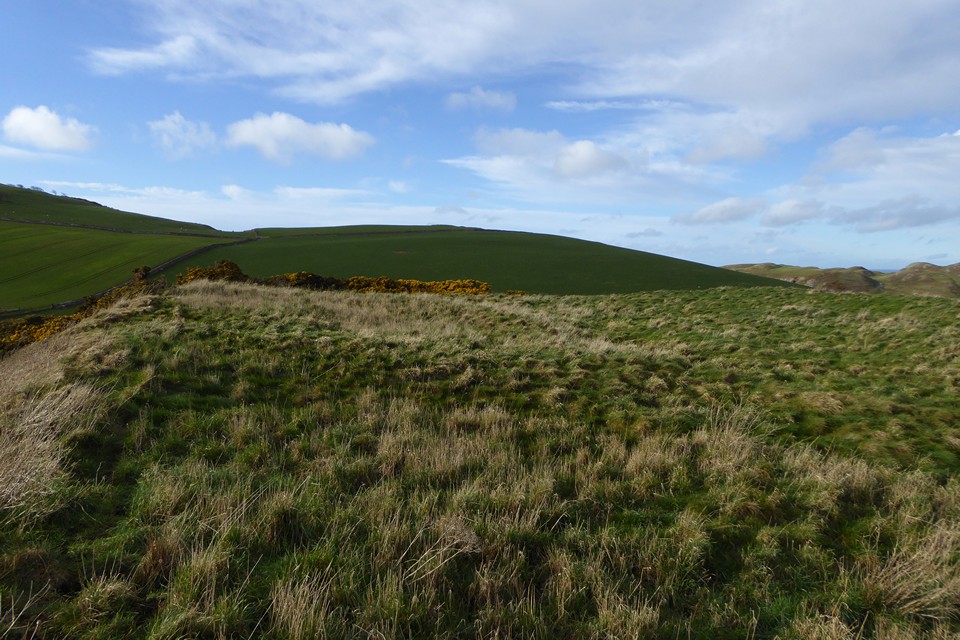
Looking westsouthwest towards Dod Hill, Dunmore Hill and Middleton/Langlee Crags.
Image credit: A. Brookes (11.3.2019)

Looking westsouthwest towards Dod Hill, Dunmore Hill and Middleton/Langlee Crags.

Zoom on the fort from Middleton Dean cairn to the northwest.

Looking over the northeastern side of the promontory.

Looking west to Dod Hill, Hedgehope Hill and Middleton Crags.

The southeastern section of rampart, looking across the Lilburn Burn. Somewhere on the distant hills on the left will be Ros Castle – the ridge extends south to Old Bewick.

Curving earthwork of an internal structure at the northern end of the fort.

The steep drop on the north side of the fort.

The inturned banks of the entrance. There are some stone footings of structures inside the bank.

The single bank and ditch on the southwest side of the fort.

The lovely western view, towards Dod Hill, Hedgehope Hill and Middleton Crags.

Looking north towards Middleton Dean. I didn’t realise it at the time, but there is a stone with cup-marks a little way north of this cairn.

Looking southeast towards Heddon Hill.

Looking northeast. The rampart of Middle Dean promontory fort is visible in the middle distance to the left.

Stone to the northeast of the settlement, with what appears to be three micro cupmarks (natural?).

Field system remains to the north of the settlement.

I assume that this orthostat-flanked trackway to the north is later, but it could be contemporary with the settlement.

Row of orthostats to the northeast of the northern enclosure, which can be seen behind.

The northwestern half of the northern enclosure on the left, the bank dividing the enclosure in the lower right foreground.

The southeastern half of the northern enclosure.

Hut circle between the two enclosures.

Orthostats marking the northeastern entrance to the southern enclosure. Dod Hill rises behind.

Detail of the bank of the southern enclosure.

The southern enclosure, looking northeast.

Dod Hill from the big cairn.

Looking southwest across the big cairn towards Cunyan Crags and Dunmoor Hill.

Stone piles on the east of the big cairn. Looking towards Heddon Hill.

Another of the smaller cairns.

One of the smaller cairns in the foreground, the big cairn beyond. Looking towards Dod Hill.

The remaining rim on the northwestern arc of the big cairn.

Approaching from the southwest.

Dod Hill from the southwest. The long cairn is somewhere on the facing slope – ridiculously strong winds prevented a climb of the hill.

The circle with Hedgehope Hill rising behind.

The enclosure across the burn, looking towards Hedgehope Hill and the Cheviot.
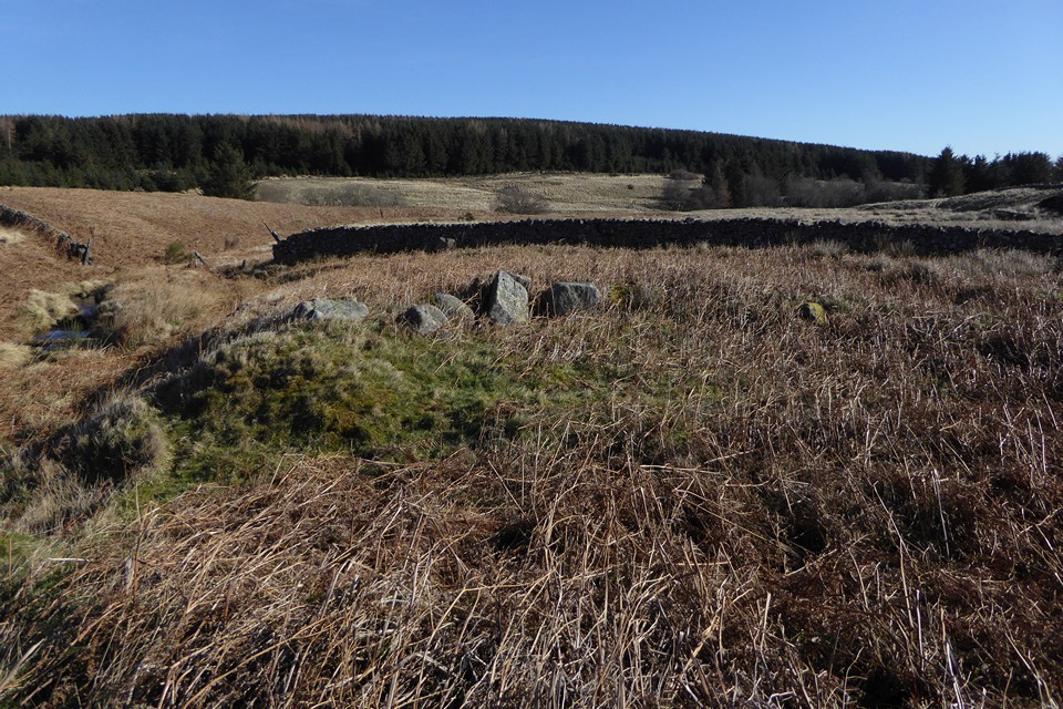
The enclosure across the burn from the circle.

Two of the stones in the “row” to the northeast of the circle.


Fallen stone in the northeastern arc.

Not all the stones are large, some are smaller than these and half-buried in the grass and peat.

Looking north-ish across the circle.

The three largest stones of the circle.

Looking east-ish along Threestone Burn.

General view of this excellent circle.