
The summit cairn, looking towards Weston-super-Mare and Worlebury.
Image credit: A. Brookes (23.2.2019)

The summit cairn, looking towards Weston-super-Mare and Worlebury.

The cairn on the highest point of Brean Down.

Small barrow near the western summit at ST 28519 59010, looking towards Weston-super-Mare and the lower eastern summit.

The cairn on the eastern summit at ST 29135 58925.

Cairn at the western end of the eastern summit (ST 29135 58925), looking towards the higher western summit.

Small barrow or clearance cairn on the eastern summit.

Another view of the barrow at ST 29325 58814.

The most prominent barrow on the eastern summit, at ST 29325 58814. This is the one the Rev. Skinner dug.

The end of the western ditch, cut into the limestone of the Down.

The western bank and ditch. The turf-covered feature on the far left looks like another rampart but is actually the remains of a modern brick-built military buillding.

The southern rampart, looking east towards Walborough with the Mendips rising hazily beyond.

Bank and ditch at the western end of the fort.

The southwestern corner of the rampart, looking towards the barrows on the eastern summit of the Down.

No need for defences on the north side, the site slopes steeply towards the sea. Looking towards Weston-super-Mare.

The eastern end of the rampart, disturbed by the military road.

These inquisitive sheep are very helpfully standing in an arc along the line of the ploughed out northeastern rampart.

Looking west, the view takes in Iron Age sites on Nottingham Hill, Dixton Hill (centre) and Oxenton Hill Camp.

Parts of the western rampart are covered in scrubby vegetation.

The most prominent section of the western rampart, near the farmhouse.


The western rampart curving along the top of the escarpment, beneath the trees.

Pretty much on the eastern line of the rampart, which has been ploughed down to nothing. Looking northeast towards Toddington.


It’s a good time of the year to come, the sea of dead bracken covering the ramparts suggests a summer visit would be less rewarding.
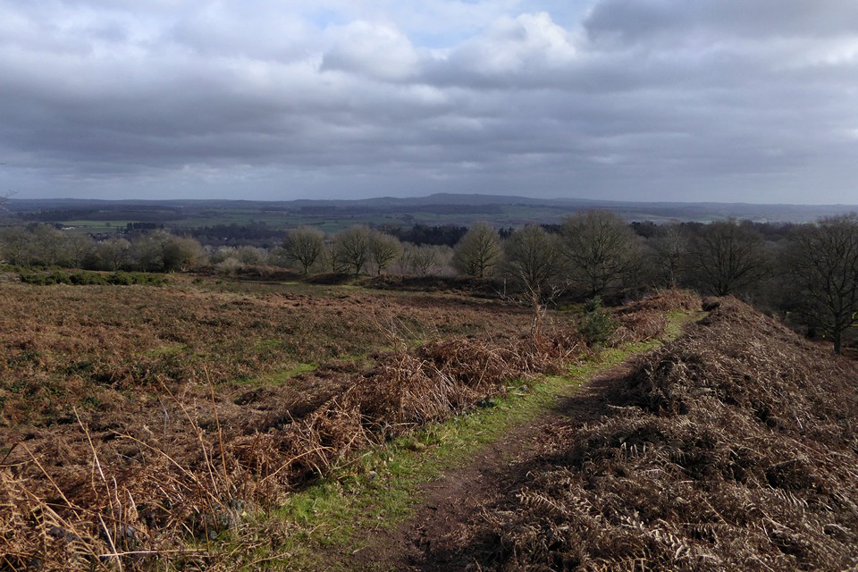
Looking east across the interior of the fort. The backdrop is the Clent Hills. Wychbury Hill fort where I was a couple of hours earlier is just left of centre skyline.

Very impressive bank and ditch on the southwestern side of the fort.
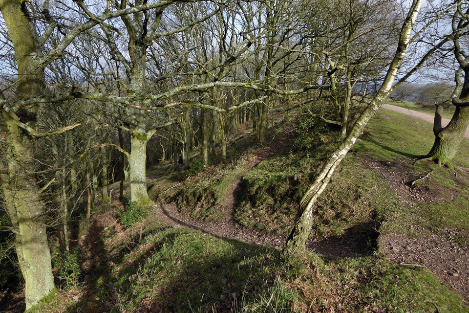
The steepness of the escarpment on the northwestern side of the fort renders ramparts unnecessary.

Looking northeast over Kinver village.

Looking west from the fort. The two hills rising on the skyline are Titterstone Clee and Brown Clee, both of which have hillforts.


Towards the western end of the southern ramparts.

The middle rampart on the south. The massive inner bank rises on the left, creating a big height difference between the two lines of earthworks.

The rather overgrown outer southern ramparts. Hagley Obelisk can be seen through the trees.


Looking down on the outer lines of the ramparts from the inner southern rampart.

Looking west along the inner southern rampart.

The northeastern defences rely mainly on the natural slope of the hill.

Inturned banks flank the eastern entrance (seen from inside the fort).


Silbury from the edge of Avebury village.


Aha! Oho! A track in the snow...


Get the feeling someone’s watching...?
