


The removal of trees will no doubt stop damage caused by roots. Instead the barrow is already being claimed by tangled vegetation. The trade-off between preserving the barrow and keeping its wonderful woodland atmosphere has begun.


First sight of the newly treeless barrow through the November drizzle.

Looking along the eastern rampart. St Ives Bay and Godrevy Island over on the right.

Lovely granite outcrop right in the middle of the interior.

Hut circle in the northern part of the fort.

In between the outcrops that divide the northern and southern parts of the interior. Trink Hill and Rosewall Hill, both with cairns, are the two hills on the left skyline.

Hut circle in the southern half of the fort.

Rock basin incorporated into the southeastern rampart. Looking south towards St Michael’s Mount.

The southern end of the fort, looking WSW towards the neighbouring Castle-an-Dinas hillfort above Nancledra.

We arrived at our last site of the day to find some kind of survey underway, the circle criss-crossed with tapes and bedecked with flags.

The top of the cleared southwestern barrow, looking towards Boswens Croft on the left and Deveral Common (with a linear barrow cemetery) on the right. Wheal Buller standing stone is in the valley between the two hills.

The newly cleared central barrow.

The chamber of the central barrow, clearer than I’ve ever seen it.

Repaired stone 5, still keeping it together.

The area around the base of the stones has been cleared,revealing various stones between stones 2 (pictured) and 3 (behind the camera).

Looking southeast towards Boswens Croft. The menhir can be seen on the skyline from here, to the left of the air traffic control installation.


Looking east. Watch Croft is far left, Chun Castle to the right of that (with Chun Quoit just visible between the two), the Ding Dong engine house can be seen on the centre skyline.


Massive granite blocks marking the outer rampart, with the inner rampart beyond on the left.

Between Chun and Watch Croft there are several Iron Age settlement sites, as well as prehistoric field systems that are still in use today.


Against the backdrop of an awful year, it was a huge delight to get back here again.

The round barrow inserted into the edge of the circle, behind the stone on the right.

As the gloom of the morning lifted.


The stones at the southern end of the mound.

Granite outcrops on Zennor Hill.


Autumn sun on the stones.
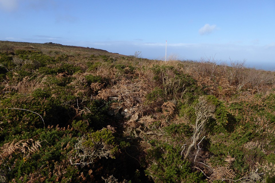
The clearance of the site is work in progress; here’s one of the houses at the west of the settlement. Work by the Penwith Landscape Partnership will be ongoing here.

The well-preserved entrance of the small house.

A smaller, newly cleared house.


Looking through the doorway of one of the cleared houses. The paving slabs in the doorway have been exposed for the first time in decades.

Another of the houses cleared by Penwith Landscape Partnership.

Looking across the newly cleared house at the eastern end towards Trink Hill.

Work is being undertaken by the excellent Penwith Landscape Partnership to clear the site of gorse and other vegetation. This is the house near the eastern end of the settlement, which was always the clearest but nothing like this.

Northern cairn (left) and southern cairn (right).