


Detail of the granite kerbs.
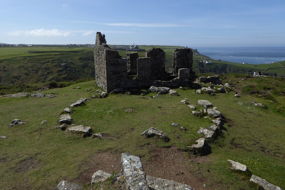
Handy aerial view from the mine workings next to the circle.
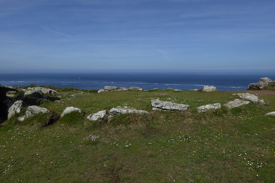


Looking out across multiple lines of ramparts.


One of the outer banks, tangled in summer undergrowth.

Looking up towards the hillfort, rising right of centre, from the banks of the Wye at the foot of Huntsham Hill. A reverse perspective of the Yat Rock images.

Elevated landscape context for the stone in the lush Wye valley, seen from Coppet Hill to the WNW.

The prominent hill rises in a commanding position over the Wye Valley – seen from Coppet Hill near Goodrich to the south.

Towards Ysgyryd Fawr (The Skirrid) from the northeastern cairn.

Looking towards Blorenge from the northeastern cairn.

There are some big slabs in the middle of the northeastern cairn, although nothing that indicates a definite cist.

The top of the northeastern cairn, with the main southwestern cairn beyond.

The beautifully sited northeastern cairn, looking southeast across Monmouthshire.

The view northwest from the main cairn, Cefn Coch is the ridge fair left, the Brecon Beacons on the distant centre skyline, the masts of Cefn y Galchen on the right.

Looking across the top of the main cairn towards the northeastern cairn, down-slope. Carn Blorenge rises on the left, Ysgyryd Fawr across the Usk valley to the right.


Blorenge far right, across the blighted landscape of spoil from Pen-rhiw-Ifor to the southwest. The Sugarloaf and Ysgyryd Fawr fade into blue haze across the Usk valley.

Under beautiful blue bank holiday skies.

Looking towards the distant Brecon Beacons (centre skyline) with Mynydd Llangatwg to the right.


Looking south across the Afon Lwyd valley towards the long moorland ridge of Mynydd Coety and Cefn Coch, where I started this walk.

Loooking southeast towards the towering spoil heaps of Pen-rhiw-Ifor.

Seen from the Gloucestershire Way to the west, on the slopes below Oxenton Hill just after a close encounter with some very nosy bullocks. Langley Hill is the prominent hill on the right.

Seen from the Gloucestershire Way to the southeast.

Oxenton Hill in the centre, seen from the slopes of Langley Hill to the southeast. The Malverns are on the skyline to the left, Bredon Hill on the right.

Some landscape context for the long barrow: it’s located on the hill in the centre of the image, just to the right of the prominent woods. Seen across the Isbourne valley from Langley Hill to the north, Winchcombe is the town in the valley.


From the north as the rain front builds beyond.

The southeastern arc of the earthwork curves across the image towards the right (honestly!).

From the north across the river.

The barrow with trees is centre of image. Seen from the northeast across the River Dikler.


Looking along the mound towards the northwestern end.

Looking along the mound towards the southeastern end.


The magnificent barrow from the southwest.


