


Looking north, with Carn Bean and Carn Kenidjack on the skyline.

Looking towards Sennen across the disturbed centre of the cairn.

The big granite lump in the foreground looks like a good candidate for a chamber or cist capstone.

This is a fine cairn, thanks to postman for bringing it to my attention after all these years!


Looking towards Bartinne as the cloud shadows race over the landscape.


The massive chambered cairn in all its trashed glory.

The smaller round cairn to the south of the summit monument.

Looking up towards the top of the hill. A round cairn is prominent on the right.

The stone mound with apparent kerb on the left, the incorporated outcrop centre and right.

Upright orthostat along the edge of the mound.

Looking south along the mound.

Landscape context for the destroyed barrow. The monument was in the pale field, centre of image. Seen from the north-western cairn on Chapel Carn Brea.
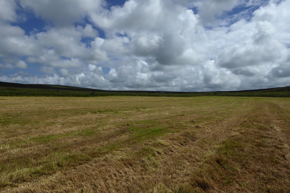
The site of the barrow is centre of image, near to the hedge. Sadly the barrow has been completely ploughed out, nothing remains above ground.

The impressive cliffs forming the south-western side of the fort, a haven for climbers even in less than lovely weather. The jagged arête of Porthmoina Island is far below, being pounded by the sea in the cove.

The boiling sea in Porthmoina Cove to the south-west of the fort. Looking towards Pendeen.

Looking south towards the prehistoric field systems around Rosemergy, before the moor rise to their highest point on Watch Croft.

The almost sheer plunge down to Halldrine Cove from the fort. Looking north-east towards Gurnard’s Head cliff fort.

Wind- and water-sculpted boulder inside the fort. Watch Croft rises behind.

The ground slopes steeply on the north-eastern side, before plunging down to Halldrine Cove, with prehistoric field systems still being used to divide the clifftop fields. Carn Galva on the right skyline, Zennor Hill on the far left skyline.

The north-eastern end of the rampart.


Big granite kerbs near the entrance grave.


Towards Bartinne and Chapel Carn Brea hills on the skyline.

The very steeply sloping southern flank, rising from Priest’s cove.

Looking landward across the neck of the promontory.

The rocky top of the promontory, which would be a great place for a cairn. Who knows what was once there?

Looking south across Priest’s Cove towards Sennen Cove and Land’s End. Ballowall Barrow is over on the high cliffs near the chimney, far left skyline.

On the edge of everything, looking towards the Brisons and the open Atlantic.

The rocky northern flank of the promontory.

Looking across Porth Ledden towards Kenidjack Castle promontory fort, far left. The cairn circle is next to the ruined buildings on the high point.

The promontory from the neck somewhere near where the rampart would have been, St Helen’s Chapel on the right.

The less well preserved southern ramparts can be made out in the foreground on the left. Looking towards Cape Cornwall, once another cliff fort but with no surviving ramparts.

Looking down on what appears to be a large round house base or building platform.

This may be one of the hut circles inside the fort. There are a couple of courses of stonework over to the right of centre, which don’t appear to be natural clitter.

The rubble construction of the inner rampart on the north side.

The multiple ramparts on the northern side, looking towards Botallack mine.

Hefty orthostat next to the entrance.

Looking towards the chimney crowning Cape Cornwall, with The Brisons beyond.
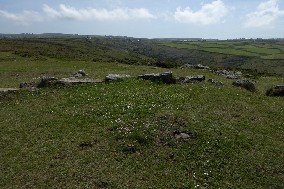
The centre of the circle, showing possible buried remains of a cist. Carn Bean with mast (site of a round barrow) and Carn Kenidjack can be seen on the left skyline. The steep Nancherrow valley runs through the centre of the image, with St Just over on the right.