
The northern outlier, with the circle below to the left. The Hafren providing the backdrop, with Somerset rising beyond.
Image credit: A. Brookes (21.12.2021)

The northern outlier, with the circle below to the left. The Hafren providing the backdrop, with Somerset rising beyond.


A bit of judicious bracken trampling to reveal the northern arc of the circle.


Southern outlier and circle, Winter Solstice 2021.

Looking from the annexe towards the main fort. The hill in the background behind the trees is Gray Hill.


Looking towards the annexe from the main fort.


The southwestern rampart of the main fort.

Earthworks around the northeastern entrance.

The substantial rampart separating the main fort from the annexe.

The barrow in its ploughed field, seen from the road to the west.


Looking down on the eastern ditch from the rampart.


The northern rampart, sporting some magnificent hart’s tongue ferns.

Looking down on the northwestern corner of the rampart. Visible through the trees are the hills of Wentwood.


The monument from the southwest.

The top of the western end of the mound.

Damage by mountain bikes is unfortunately ongoing; there were two mountain bikers on top of the mound when I arrived.

It’s difficult to know if the mound was always so high, or whether the adjoining ground surface has been lowered by all the quarrying in the area.

The huge mound from the eastern end.


The exposed tops of the mounds are a bit eroded, revealing the limestone composition.


A late autumn visit shows off the mounds to better advantage. The views across the Severn to the Forest of Dean are excellent, and the snowy Black Mountains rise above on the right, but very difficult to see in this image.


Looking back along the southern flank of Ring Hill towards The Bulwarks.

The southern flank of Ring Hill, with Haresfield Beacon round barrow (with trig pillar) top right.

The end-on profile of the outer rampart of Ring Hill.

The southern end of the ludicrously massive double rampart of Ring Hill, the inner rampart rising behind the outer.

The southern flank of The Bulwarks, where the naturally steep escarpment makes earthworks less essential than on the eastern approaches.

Towards Y Rhinogydd.

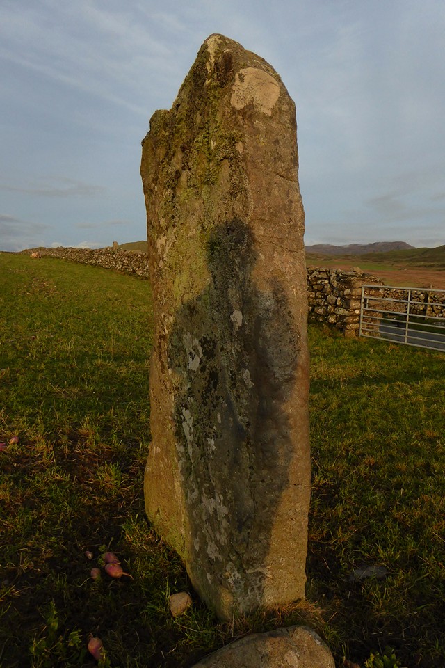


Whatever its function along the route to Moel Goedog and beyond, the stone is also very handy for scratching your head on. Moelfre, with large summit cairn, rises behind.

Moel Goedog hillfort is on top of the hill far left.

Looking towards Y Rhinogydd. Stone D can be seen far left.

Another stone with fine views of Y Rhinogydd.

Looking SW towards Foel Senigl. Stone C can be seen on the right, in front of the wall.

The fence that was there last time I came has gone, opening up the views towards Y Rhinogydd.

SW towards Foel Senigl.

The stone enjoys great views towards Y Rhinogydd.
