

The highest point of the fort, looking towards May Hill.


Chase Wood Hill from Bull’s Hill to the SSW.

Landscape context for the fort (centre skyline) from fields near Youlgreave as we near the end of our walk.


Detail of kerb stones protruding through the heather.


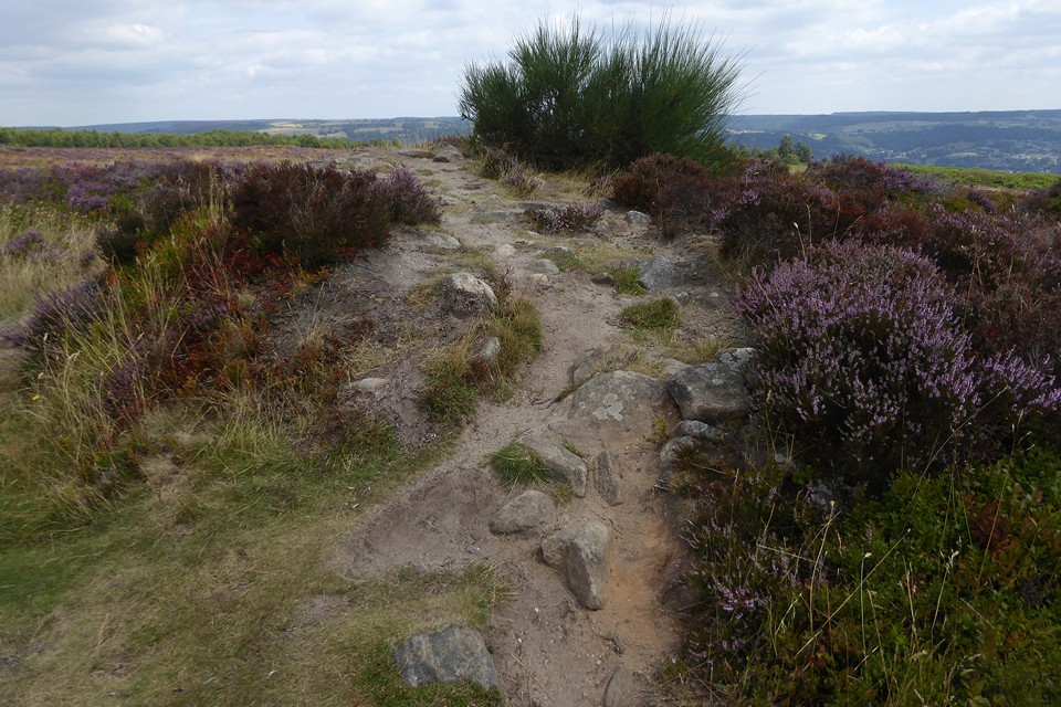
In late summer you get the riot of colour from the heather, but the cairn itself is being swamped by it.

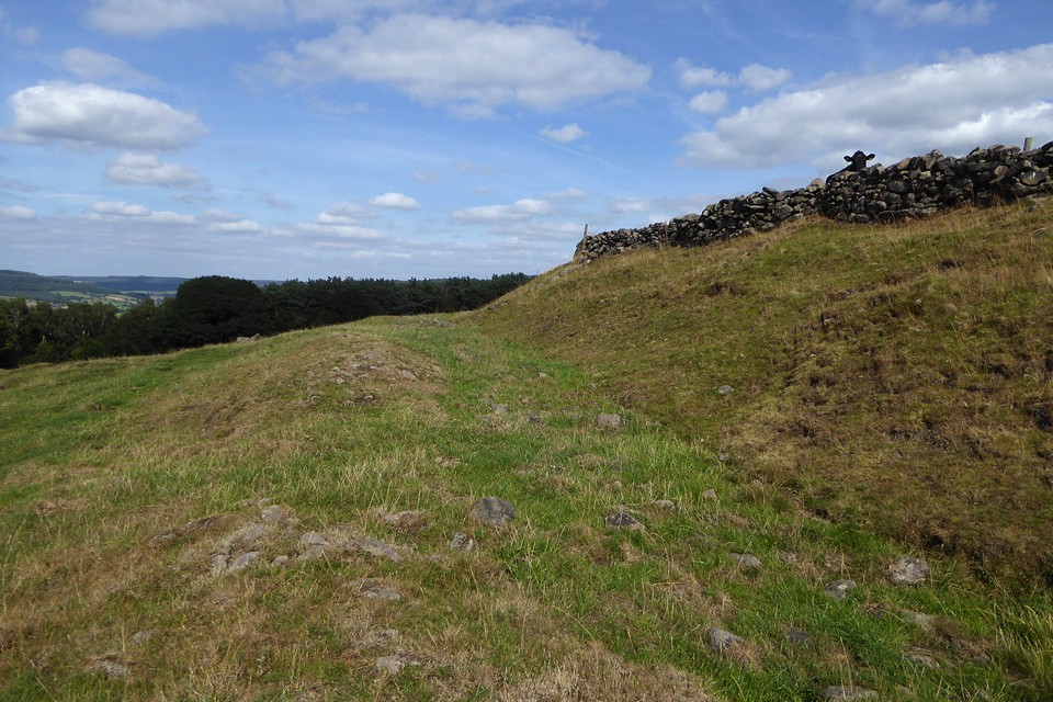
A few little bits of exposed stone on the bank give the site away if you’re not sure where to look.


Minninglow from Moor Lane, Youlgreave.


Cist capstone on top of the barrow, looking towards Lean Low.

Cist capstone on top of the barrow, looking towards Arbor Low.


Two stones protruding from the top of the bank.


Cranes Fort, centre, from footpath to the south.

Looking WSW. Bee Low chambered tomb is in the wood on the skyline to the right of centre.


The little fort on its hillltop (centre), seen from the northwest across Bradford Dale, from fields above Youlgreave.

Landscape context from Hadnock, just over the River Wye to the south. The hill rises vertically from the river.


Shattered rock strata on the northern edge of the fort.


The Wye Valley Walk meets the southeastern corner of the fort.


Landscape context from Nyth yr Eryrod (Eagle’s Nest), further up the Wye Valley to the north. The larger Piercefield Camp is on the left, the smaller Piercefield Wood Camp on the higher elevation in the centre. The Hafren/Severn with its bridges is in the background. The beautiful Afon Gwy is brown and turgid with pollution from Herefordshire farms in the foreground.
