
Little wall stone.
Image credit: A. Brookes (26.1.2013)

Little wall stone.

With the stone visible amongst the trees.

The strangely snow-free long barrow, from the east.

The western chamber on the left, the central chamber in the background on the right.

A couple of upright slabs are all that remain of the roofless western chamber.
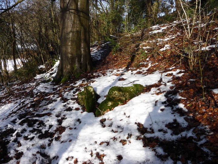
The roofless western chamber.

The eastern chamber, disappearing under vegetation and soil.

Inside the filled-in eastern chamber.


Inside the central chamber.
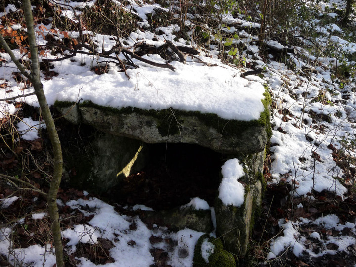


The final approach after a hard walk.

The settlement is on the (fairly) level ground to the west (left) of the drystone wall. The slopes of Y Gyrn are on the right.

Snow-covered Moel Hebog rises centre skyline as we make our way up towards Y Gyrn and Bryn Cader Faner.

The stone (left) depicted on a wall hanging inside the church.


The stone stands sheltered in the quiet churchyard.


The mound from the south. Note stones protruding from the snow on the far left, not sure if these are part of the construction or natural.

The southern end of the mound. Note arc of small uprights – remains of kerbing, or part of something structural?

Looking approx. north along the Dee/Dyfrdwy valley.


From the south, showing faint vestiges of a mound.


The self-seeded bush underneath the capstone needs some pruning.

The stone silhouetted, seen from the east.

Some landscape context from the west. The fort/enclosure sits above the mouth of the Afon Nedd, one of the major rivers of South Wales. Take away the road, bridges, houses, pylons, etc and this would be a fine location for a defensive site.


Low remains of a bank on the northwest side of the site.


The fort from the east, hemmed in between the M4 and A48, festooned with pylons.

The imposing bulk of Twyn Disgwylfa seen on a rather gloomy day from Baglan. If you can ignore the urban sprawl at its feet, this is a superb place for a barrow.

Beneath the forbidding cliffs of Creigiau Eglwyseg, Offa’s Dyke Path crosses the scree slopes.

Eglwyseg Mountain, with cairn prominent on the highest point. Seen from the road across Cryn y Brain to the north.

Cyrn y Brain, home to multiple cairns, is the long expanse of moorland on the skyline. The little lake is Llyn Gweryd, the viewpoint is Moel y Plas in the Clwydian hills.

Hillforted Foel Fenlli on the left, be-cairned Moel Gyw on the right. The viewpoint is Offa’s Dyke Path as it rounds the flank of Moel Llanfair.

Looking south from Moel Gyw. Moel y Plas is the left-hand hill in the middle ground, with Moel Llanfair the hill on the right. Conical Llantysilio Mountain can be seen on the skyline, the northern peaks of the Berwyns range to the far right.

The reason for fort’s commanding position on the Cotswold escarpment is clearest from the northeast.


