
The low mound of Carn Foesen, with Willy Llewellyn memorial in the the foreground (see Misc. post).
Image credit: A. Brookes (31.5.2013)

The low mound of Carn Foesen, with Willy Llewellyn memorial in the the foreground (see Misc. post).
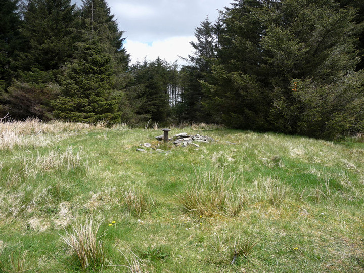

Carn Foesen, approaching along forestry tracks from the north.

The wonderful, unobstructed view north from Garn Fach. The cairn stands on the highest hill in South Wales outside of the Brecon Beacons National Park and enjoys views of the ranges of Y Mynydd Du, Fforest Fawr and the Beacons themselves.

General view of Garn Fach, from the east.
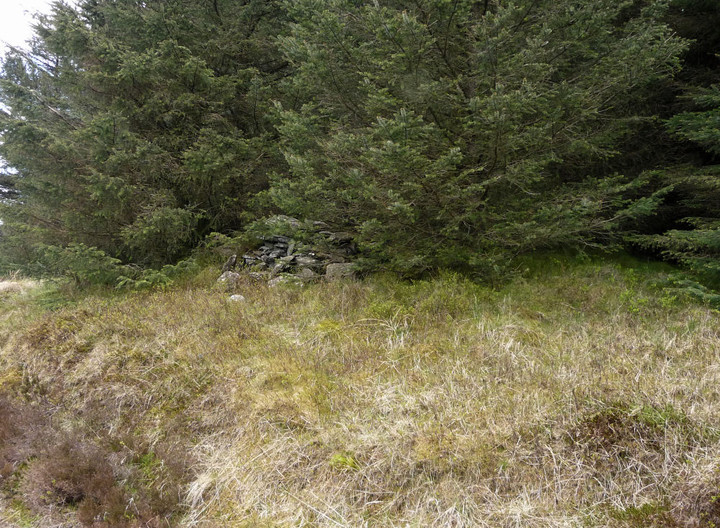
Garn Fach, partially disappeared under forestry. The general shape of the cairn can still be seen under its “modern stone pile”.

Some landscape context for the settlement at the head of the Rhondda Fawr. The site occupies the light green plateau on the hill to the right of centre.


Llyn Fawr from the cliffs of Craig y Llyn. The whole of the Fforest Fawr range (many with Bronze Age summit cairns) and the unmistakable twin peaks of Corn Du and Pen y Fan provide the wonderful backdrop.

The approx. positions of the three cairns in their upland landscape. The viewpoint is Ffos Toncenglau to the west.

Curving settlement wall. The steep valley opposite is that of Nant Carnfoesen, itself named for the Bronze Age cairn on the ridge above.

Stonework stands several courses high in places.

Not somewhere to roll out of bed the wrong way.

Two simple unenclosed hut circles perched just above the escarpment edge.
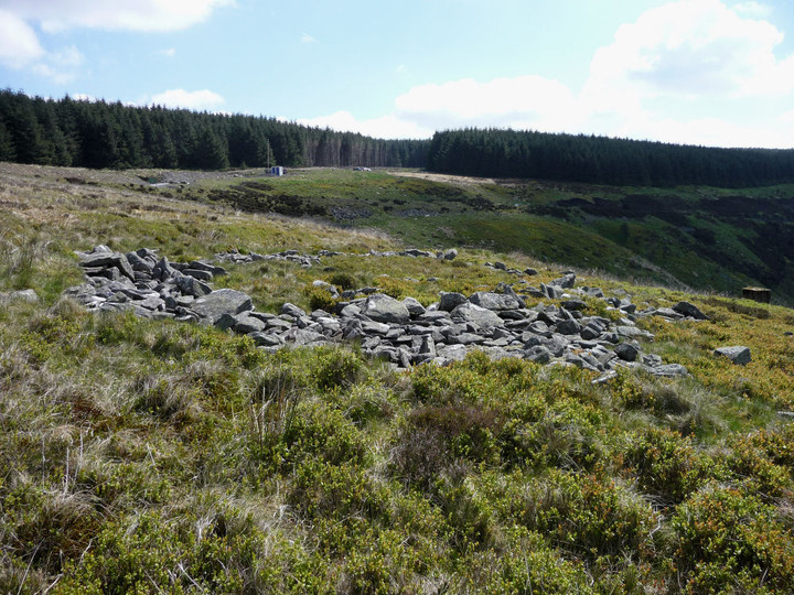
Looking east across one of the well-preserved IA hut circles.

Eastern part of the settlement, with terrific view down the Rhondda Fawr.

The plan of the settlement in the parking/picnic area to the NE of the site. The orientation of the plan has southeast (approx) at the top.

Some context with other prehistoric sites of the Cotswold edge (pointers are approximate!). The viewpoint is Cam Long Down, near Dursley.

The northern end of the northwestern rampart. The generally featureless fort interior is fenced off and grazed.
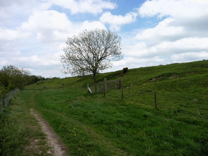

Approaching the eastern point of the fort, long the southwestern ramparts. G/F provides scale, Peaked Down provides the conical backdrop.
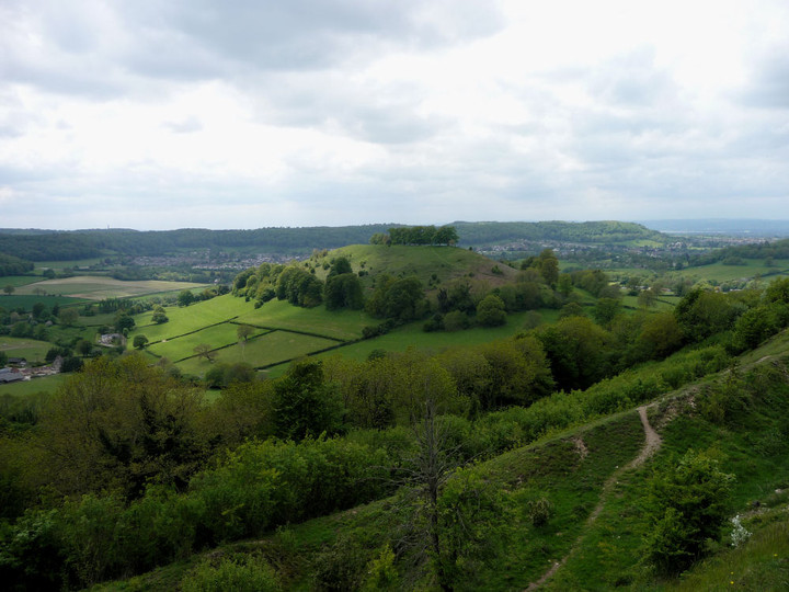
The view over the southwestern ramparts, towards Downham Hill and Dursley. The Tyndale Monument at North Nibley, near Brackenbury Ditches hillfort, can just be seen far left, the Vale of Severn extreme right.

The curving southern end of the SE rampart.
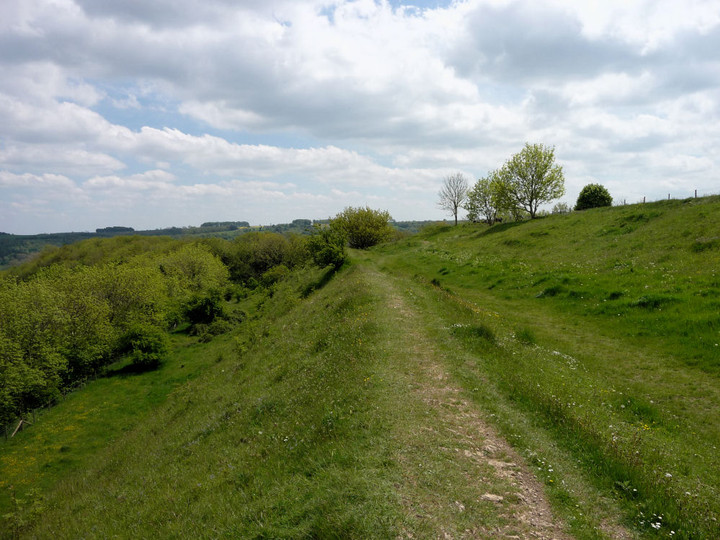
Looking SSE along the eastern ramparts.

The inside of the lintel. Once inside, the height of the roofing slabs is sufficient to allow you to stand fairly upright (depending on your height!).

The interior of the SE chamber, the darkest part of the monument as its entrance faces away from any natural light filtering in. Note the enormous uprights (and the irritating graffiti on the roofing slab).

Late Spring at Hetty Pegler’s Tump.

Some landscape context for the barrow (centre, to the right of the trees), seen from the south and showing the steep escarpment slope immediately below the barrow. The Vale of Severn and the ubiquitous May Hill can be seen on the far left.

From the SSE. The barrow still provides a focal point for visitors.


The barrow from the north, shortly after emerging from the woods around Soldier’s Grave round barrow.

Sizeable limestone slab beside the barrow.

The excavation scoop in the barrow.


The bluebell-filled beech woods around the barrow are lovely at this time of year.


Soldier’s Grave round barrow in Spring splendour.


The steep approach to the long barrow (dead ahead) along the Cotswold Way.

Stradey Wood hillfort, showing the relative prominence of the site to its surroundings.

Posted to show some landscape context. Although not the highest hill on the Gower Peninsula, Llanmadoc Hill utterly dominates the skyline of North Gower when seen from across the river in Carmarthenshire, making it an obvious place for a Bronze Age cairn.

The northern flanks of Pen-y-Gaer sloping steeply above the village of Pen-clawdd. Seen across the Loughor/Afon Llwchwr from Carmarthenshire.

Showing the proximity of the stone to the nearby stream (bottom right).

The stone from its “pointy” end.

The edge of the stone (now its bottom edge) is very smoothed and rounded, as if by rubbing over a long period. Whether this occurred while the stone was erect or since it fell, I don’t know.

The stone from its “chunky” end.

Other sites in the area. The blue dot due north of Arthur’s Stone on the plan set us directly on the trail of Pentre House.

Gotta love that wonderful curving passage.