
Curving sweep of the ramparts at the south of the fort.
Image credit: A. Brookes (1.9.2013)

Curving sweep of the ramparts at the south of the fort.

Oblique shot of the two inturned banks flanking the original southern entrance to the fort.

The ground falls away steeply to the south and west.

Attempts to control the vegetation are welcome, as the earthworks of this fort are very decent.


Further clearance work, between inner and middle ramparts.

Outer bank and vegetation-choked outer ditch, northeast side of the fort.

Towering trees crowd the top of the banks, northeast side of the fort.

The controlled burning in the ditch evidences attempts to control and clear some of the self-seeded saplings on the earthworks.

Between middle and inner banks, NE side of the fort.


Standing on the inner bank, north side of the fort. The figures on the path below are just passing through the much slighter outer bank.

There appears to be a slight counter-scarp around the inside of the northern arc of defences.

The cliffs fall precipitously down to the Avon Gorge on the SW side of the fort. Tunnels and a cave honeycomb the rock beneath the fort.

Any signs of the original habitation inside the fort have been lost under landscaping and the building of the striking observatory building.


The slight (and rather manicured) outer bank on the NE side of the fort.

Landscape context from the NNW, on a very overcast day. The fort occupies a spur off the highest part of the wooded hill across the valley, to the left of the Tyndale Monument. From Stinchcombe Hill, once thought to be site of its own Iron Age camp/beacon.


SW fallen(?) stone, looking to NE stone (far left).


NE stone, looking towards SW stone.

Landscape context for the prominent hill with its summit enclosure, seen from the SW.

Landscape context for the fort/enclosure, which occupies the left hand end of the wooded hill, centre. Laugharne can be seen further to the left. The viewpoint is Pont-y-Mwche, on the opposite side of the Afon Taf.

The view from the fort to the confluence of rivers Tywi and Taf, no doubt important transport arteries in the Iron Age.

The fort’s placement ensures that it dominates the mouth of the Tywi.

The southern (cliff-ward) end of the western ramparts. The Gower can be seen in the distance, right.

The outer of the double banks on the west side.

The inner of the double banks on the west side of the fort.
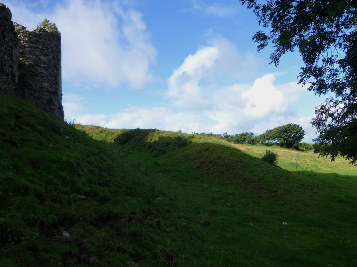
The inner of the double banks on the west side.

Rampart on the north side of the fort.

Seen from the north-east and emphasising the cliff-top positioning of the fort.

A splash of Summer colour on a cloudy day, eastern rampart.

The erosion scar patched in Winter re-opens by Summer.


Long zoom from another hillfort, Leckhampton Hill 20 miles to the SE.


The wonderful setting, looking up the Tawe Valley.

Approaching from Pwll-yr-Wydden Fach.

“Once upon a time there were three little sisters, and they lived at the bottom of a well”


The improbably situated hut circle, at the bottom of the sink hole.

