


Looking along the low earthwork near the Knoll Down end, towards Oldbury hillfort on the skyline.

The two barrows as darker ovals in the lower foreground. Looking across the West Down gallops towards Tan Hill.
From the northeast the slumped and hollowed centre is more apparent.

What lies beneath. The WW2 observation post that now fills the centre of the barrow.

Looking ESE from the top of the barrow, towards Knoll Down. The Old Bath Road trackway is the prominent earthwork leading from the barrow, another linear earthwork runs parallel with it further down the slope.

Looking west along the Old Bath Road trackway from the elevated top of the barrow. Oldbury hillfort can be seen on the skyline, far left.

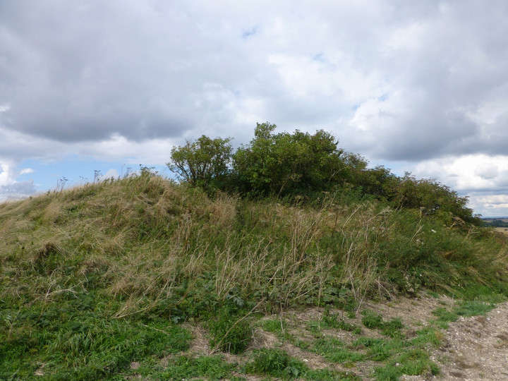
The intact southern facade of the barrow.

From the southeast, this appears a very fine barrow. Appearances can sadly be deceptive.

The ramparts of Oldbury crown the skyline, seen from Old Bath Road to the northeast.

The barrow is very prominent from the Old Bath Road trackway to the east.


Approaching from the track to the southwest.

Only a low bank tops the northwestern side of the fort, with the steep scarp providing plenty of natural defence.

Impressive inturned banks flank the eastern entrance.

The southeastern ramparts, looking towards Yatesbury.

The straight rampart that separates the lower southwestern part of the fort from the rest of the interior – presumably this represents an earlier extent of the fort?

Looking down on the curving outer defences to the west, from the (presumably earlier) straight southwestern rampart.

Impressive multivallate defences on the west side of the fort. The possible Calne Without long barrow can be seen to the left of the picture.


The western ramparts, looking SSW towards Morgan’s Hill.

The western ramparts below the monument, looking NW.

Approaching from the direction of the cross dyke. The earthwork crowns the escarpment above.


The view from the top of the mound to the sunlit barrows on the western summit of Cherhill Hill.

The mound, whether long barrow or not.


The speculative long barrow in front of the obelisk, seen from the western part of Cherhill Hill.

Looking across the dyke towards the western summit of Cherhill Hill, where there is a group of three or four Bronze Age round barrows.

Looking ENE along the dyke towards the white horse.

The earthwork remains to a decent height.

The dyke is bisected by a track/bridleway. Looking north.

Landscape context from Cherhill Hill to the NNE. Various round barrows encircle the summit masts.


The southern of the three barrows I found (2d), looking towards Morgan’s Hill.


The western barrow, looking over the escarpment towards Calne.

The western of the three barrows I found (2a?). Looking towards Morgan’s Hill.

The northern arc of the bank surrounding the largest barrow. Cherhill village lies in shadow far below.

Looking over the largest barrow towards Morgan’s Hill, with its own barrows.

The dished centre of the largest barrow. Looking WNW towards Calne.

Detail of the bank of the largest barrow.

The largest of the three barrows I found, possibly 2c (or maybe the pond barrow?). Looking east towards Oldbury hillfort.