
There are some bigger slabs in the mound.
Image credit: A. Brookes (3.8.2013)

There are some bigger slabs in the mound.

The fabulous view NE up the Tawe valley towards Fan Gyhirych.

Looking south towards Cribarth, which is not visible from the cairn.

Pwll-yr-Wydden Fach cairn, looking NW to the limestone plateau of Dorwen ar Giedd and Carreg Goch. The hut-swallowing shake hole is behind the cairn on the left.

Showing the position of the (grey) cairn between the two enormous shake holes. The hut circle lies improbably at the bottom of the one on the left.

Shapely Fan Gyhirych seen from slopes near Cribarth. Waun Leuci, on the left, also has Bronze Age cairns.

Waun Leuci/Cefn Cul is the central hill in shot, flanked by the mountains of Fan Hir (left) and Fan Gyhirych (right). Looking up the Tawe valley from Cribarth in a reversal of one of Gladman’s images.

Mynydd Allt-y-grug is the prominent hill to the right of centre, the Tawe valley separating it from Mynydd Marchywel on the left. Seen from the slopes of Cribarth.

Castell y Gwynt seen across Llyn Llydaw from Y Lliwedd.

General view of the cairn looking NW.

Looking NE across Rhondda Fawr. The distant Brecon Beacons can just be seen from the cairn, far left skyline.


Looking SW towards the oddly cairn-less summit of Mynydd Pen-y-graig.

Mynydd Maes-teg from Mynydd Pen-y-graig to the ENE.


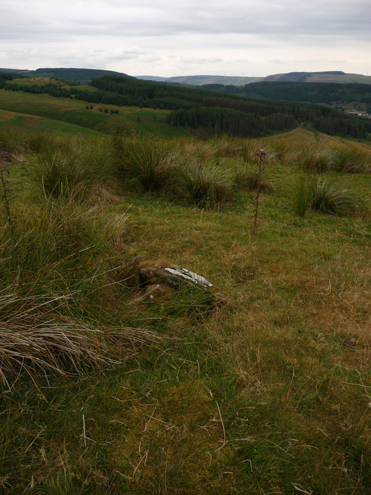
Looking east across the cairn. The most substantial part of the mound is the northern arc (left of picture) and it occurred to me that this could possibly have been a ring cairn. Small “kerb” stone from previous shot visible lower left of centre.

What appears to be remains of kerbing on the northern perimeter of the cairn.

Reprise of image from 3 years ago, showing the cairn in the foreground and the drastic change in surroundings and view.

The mutilated cairn from the south.

Looking WSW from the cairn into the Ogwen Valley/Ogwr Fawr.

Large slab buried in the cairn’s large footprint. The stack of stones is not a shelter, but rather a solid cylinder.

Looking northwest towards Werfa and Crug yr Afan.

Since my last visit in 2010, the cairn has developed a new backdrop.

Looking NW back towards the forestry track/fire break.

“Kerbing elements on the southwest” (see Misc.) of the southwestern cairn.

The fallen, “partially dressed” outlier to the SSE of the circle, looking towards the circle.

A general overview of the site is almost impossible with the grass as long as it is in summer, so I resorted to artificial help. A stick, map-case, walking pole and rucksack mark the position of stones in the northern arc.
Looking northeast towards Maindy Camp and up the Rhondda Fawr. The setting is excellent.

Small stones, long grass. Not the easiest combination for finding the circle!

The southern arc of the circle, looking ENE across the Rhondda Fawr towards Tarren Maerdy, with its own cairns and new windfarm.

Stone in the southern arc of the circle, looking west towards afforested Mynydd Ton.

Looking down into the cist, one the circle stones of the southern arc in the background.

The small, overgrown cist inside the ring.

The stones of the circle are not large – this is one of the bigger ones!

Second time lucky. Here it is, looking SSW across the circle.


