


Looking WSW in the general direction of Stockport. The prominent ridge in the middle distance is marked with the Brown Low and Ludworth Intakes cairns.


A bit bashed about, but still a fair-sized monument.

The cairn silhouetted as I first arrived. The figure helpfully providing scale is one of the Peaks volunteer rangers. She told me they periodically visit the Peaks monuments to record condition, etc, which is really good to hear.

Some landscape context for the prominent ridge the cairn and its near-neighbour Ludworth Intakes are situated on.

The cairn (centre, obscured) may not be the most impressive, but it sure is pretty in these woods.

Plenty of mossy stone work on/in the low mound.

The cairn is very overgrown and cut branches have been added to the pile.


From the NE. Whatever you do, don’t leave the track. It might be muddy as anything, but the field is way worse and nothing is solid.

Getting to this stone involved some very unpleasant “mud” being negotiated.

The two stones in their landscape, west over on the far left, east on the right.

The eastern stone, with Llanmadoc Hill (cairns, hillfort) on the left skyline.

Looking from the fallen eastern stone to the standing western stone, dead ahead. The skyline comprises Rhosilli Down (left and centre) and Hardings Down (right).

The huge but sadly fallen eastern stone.

Western stone, with Cefn Bryn ridge rising behind to the east.

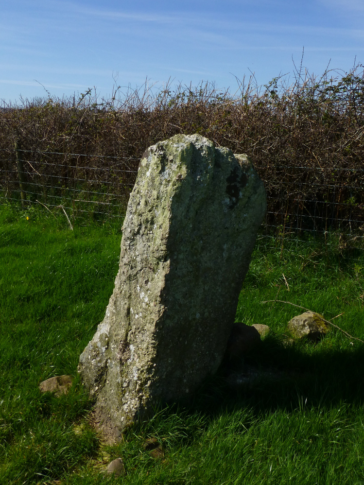
The smaller, but still standing, western stone.

Hardings Down, topped with three separate prehistoric forts/enclosures and a Bronze Age cairn. From the south.
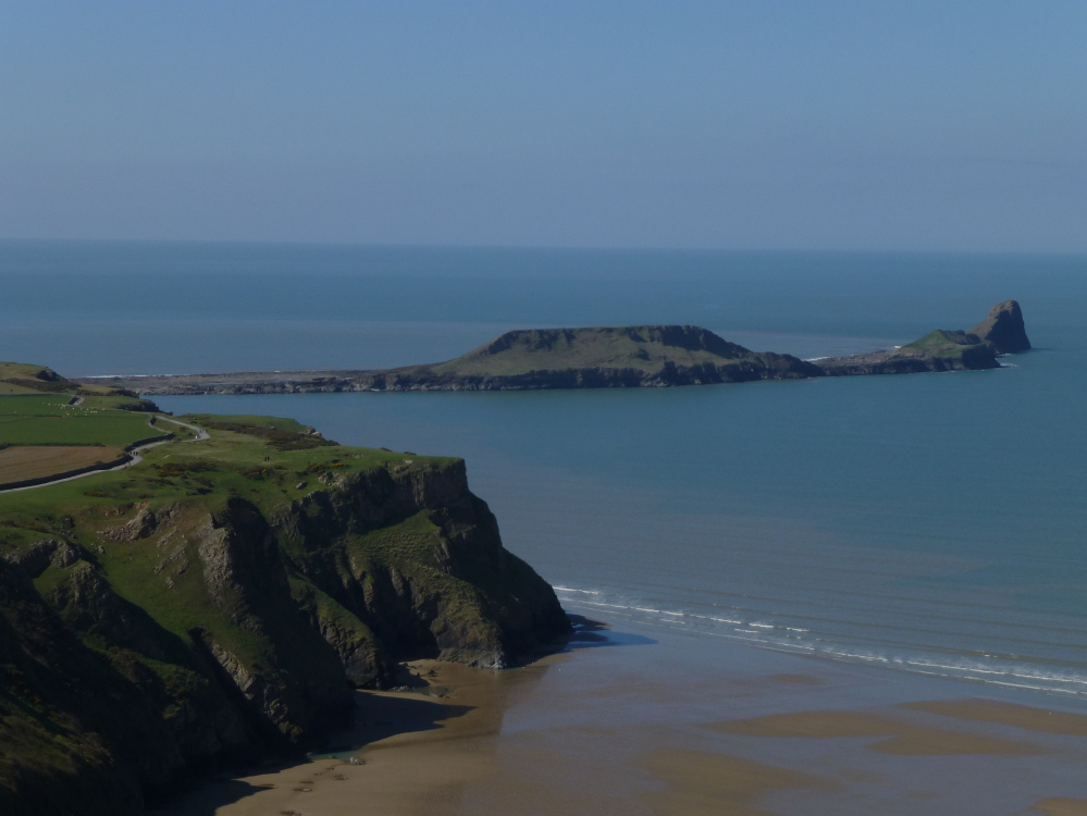
Old Castle cliff fort (bottom left) with Worm’s Head beyond.

Looking down on the lower northeastern defences from the highest part of the fort.

The eastern flank, looking across the pass to the wonderful Y Grib ridge, climbing to the highest part of the Black Mountains.

The highest section of the fort, later occupied by a Welsh castle.

The upper ramparts are studded with stone – is this part of the original construction or the ruins of the later Welsh castle?


This is a very impressive fort, even in moody weather.

Northern defences, looking through the rain to a (slightly) brighter Mid Wales.

Lower/outer defences, looking towards the Black Mountains ridges, hidden under low cloud.

The well (I think) on the northern side of the fort.

Map showing permissive access to the fort.

Multi-phase occupation of the promontory and neighbouring island.


