


With the Sugarloaf beyond.


The hollowed centre of the cairn, underneath the annoying sheep shelter.

I seem destined to always come here as the weather turns cloudy...

The curving banks leading to the entrance. The tree artfully contrives to hide Ysgyryd Fawr.


The southwestern rampart, bounded by a metalled track.
Looking down on the fort (in sunshine, left of centre) from the slopes of Hatterrall Hill.

Sheep helpfully provides scale for the outer northwestern rampart.

The steep slopes below the northeastern side of the fort, looking towards Hatterrall Hill and the Black Mountains easternmost ridge.

Looking across the northwestern half of the fort, towards the prominent Sugarloaf.

Impressive earthwork dividing the two halves of the fort.

The central rampart. The prominent hill on the left is Twyn-y-Gaer, the neighbouring hillfort with a similar layout.

The northeastern side of the fort needs little artificial defence. Looking down on the Monnow/Mynwy valley into Herefordshire.

Walterstone Camp above the fertile Monnow/Mynwy valley. Seen from the neighbouring Pen-Twyn Camp hillfort.

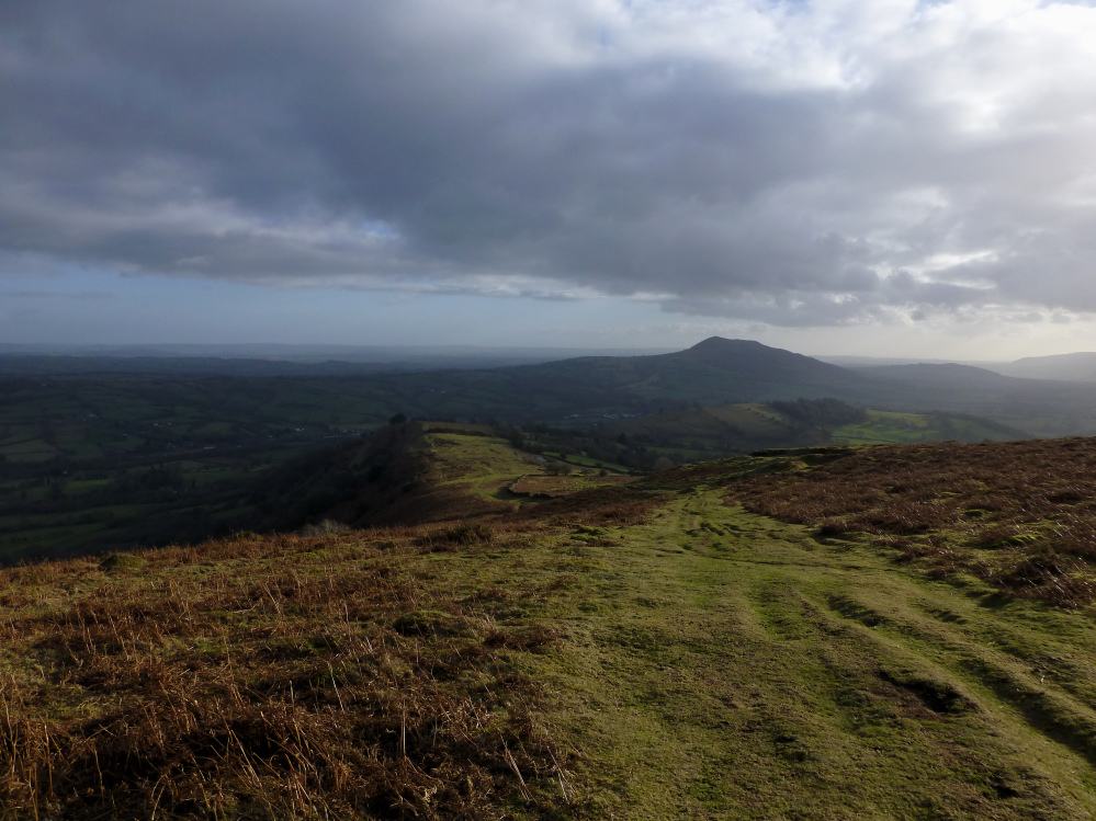
Ysgyryd Fawr takes centre-stage on the descent from Hatterrall Hill. Pen-Twyn hillfort is over on the near-left.

Seen from Trawellwyd from the east, the prominence of the hillfort is readily apparent.


Glared at by the low winter sun, looking south-ish.

Looking down over the southern slopes towards Cooper’s Edge on the Cotswolds. The valley is now a sprawl of motorway and main roads.

The southern side of the hill has the steepest slopes.

Overgrown slopes on the west of the site. This part of the perimeter is probably difficult to access in summer.

The western perimeter of the probable fort.

There is some suggestion of a bank along the northern perimeter.

The raised mound underneath the church.

Looking down on terraces below the northeastern corner. The site has extensive views to the Cotswolds, where there are numerous Iron Age sites, including Bredon Hill/Conderton Camp, Nottingham Hill and Cleeve Cloud.

The church stands inside the probable perimeter of the fort, on a large artificial mound.

The eastern entrance runs alongside this high bank. Could this be an artificially inturned earthwork, or just a natural feature?

Leckhampton Hill fort, seen from Churchdown Hill, another possible/probable hillfort.

The wonderful elevated view of Blaen Taf Fechan from the slopes of Corn Du. A perfect location for a Bronze Age cairn cemetery, next to the headwaters of a major watercourse.

Looking down on Blaen Taf Fechan and the Upper Neuadd Reservoir from Craig Gwaun Taf. The cairns are at the near end of the reservoir.

The upper reaches of Cwm Crew. Scattered huts in the settlement alongside the stream extend up to this part of the valley.

Another view of the small mound on Cefn Crew.


