


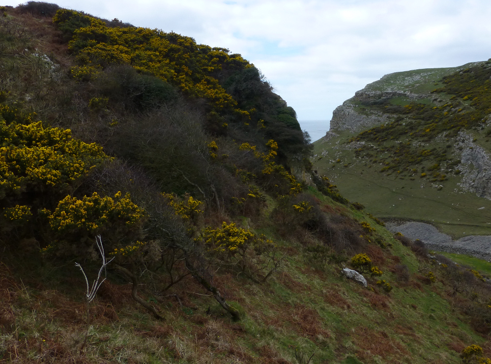
The northwestern extent of the fort, looking across Deborah’s Hole.

The Knave seen across Deborah’s Hole from Horse Cliff, close to another clifftop fort.

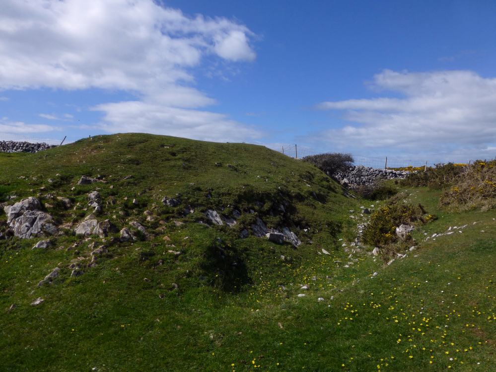
The rock cut ditch, providing the stone for the rampart.


A wide expanse of limestone is exposed below the fort at low tide. Looking towards Worm’s Head.

The inner rampart (the outer rampart is under the gorse along this middle section).


The outer rampart, with the inner rampart beyond.


Twin tunnels inside the cave mouth.

The entrance to Red Chamber East.
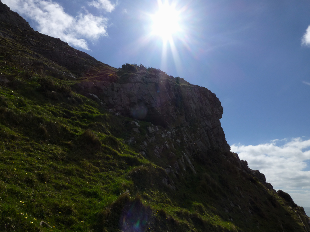
Looking up at Red Chamber East cave in its cliff face setting.

I’m kicking myself over this one. The opening on the cliff face opposite is Red Fescue Hole, but I didn’t realise this at the time.
The viewpoint is Red Chamber East cave.

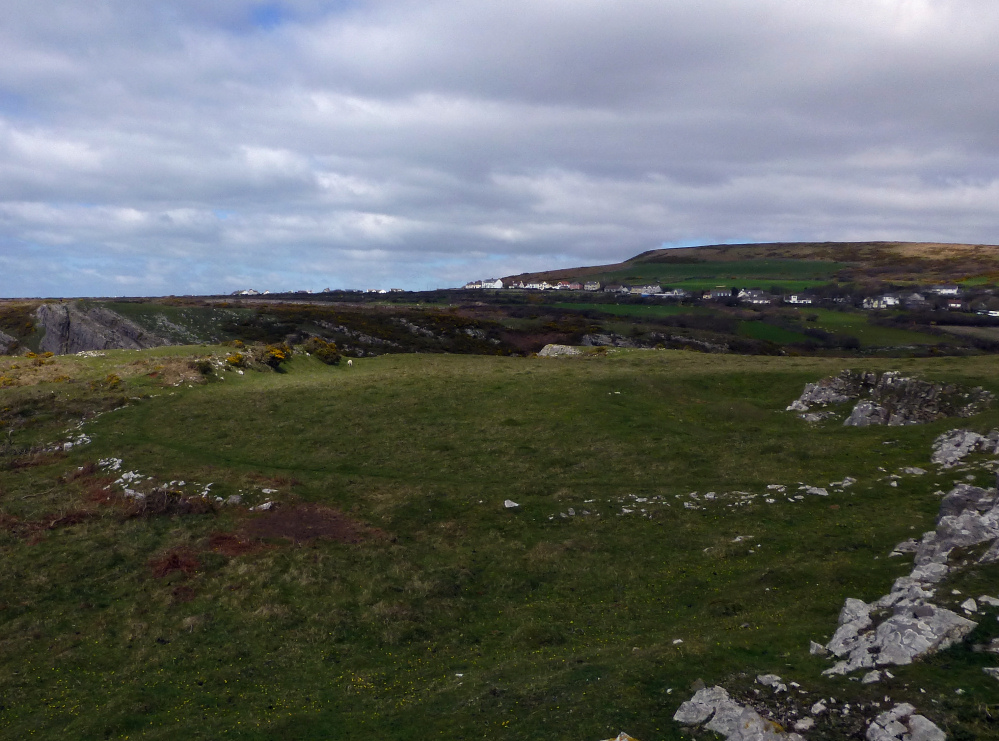
We came across this wide circular feature to the east of Thurba Camp. There’s nothing on Coflien or Archwilio.


The tip of the promontory from the inner bank. G/F provides scale.

Looking down into Mewslade, the valley to the west of the fort. Rhossili Down rises beyond.
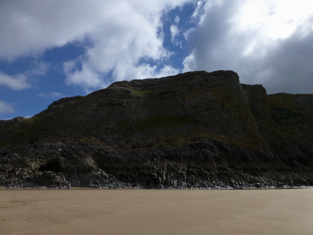
Not the easiest means of approach. The fort occupies the cliff top.

Thurba Camp from below – low tide, Mewslade Bay.

As well as the three small caves we visited, there is another one in the cliff face below the prominent outcrop on the clifftop ahead. The limestone bedrock of the beach has eroded into sharp crests and points.
The three caves at SS42198724 are below the gorse line. They all face away from the sea.

The righthand/western of the two lower entrances at SS42198724. This is the smallest entrance of the three in this part of the cliff.

The uppermost of the three entrances at SS42198724. Taller than the others, it would be a tight squeeze to get into (I didn’t try).

The lefthand/eastern of the three small cave entrances at SS42198724.

The lefthand/eastern of the two lower entrances at SS42198724.

The two lower cave entrances at SS42218724. There is another cave above, hidden by the bushes top left.

The fort occupies the flat-topped cliff, centre of image. Seen from Mewslade Bay.


A summer visit would be challenging; myriad bramble tentacles lurk beneath the bracken.


Looking towards the highest point of Cefn Bryn, roughly along the route we came down – there’s some intervening boggy ground.

The chamber from the east. Credit to Andypebble and friend for flattening the bracken around it, which made it much easier to see than it might have been.

Looking down on the interior of the fort from Cefn Bryn. That’s Exmoor across the Bristol Channel on the horizon.

Oxwich Point from Cefn Bryn. The fort is in the trees at the top of the cliffs, further out than the low tide line.

The western Beacon. A large shelter has been built below the outcrop, but it’s not clear whether there was a cairn here or just natural outcropping. The wide sweep of Oxwich Bay lies below.

The eastern Beacon. The renowned Three Cliffs Bay, one of the Gower’s most famous beauty spots, can be seen over to the right.

Cefn Bryn Beacons. Coflein suggests that each outcrop has a cairn, although GGAT are unusually silent. This is the western Beacon.

Beautiful Oxwich Bay seen across Cefn Bryn East cairn (SS52068889).

The denuded Cefn Bryn East cairn (SS52068889), looking towards the summit. Afon Llwchwr estuary is over to the right.