
Looking down on the hut circle, which from this angle appears to be undercut by the sea. It’s unlikely to be here forever.
Image credit: A. Brookes (20.4.2015)

Looking down on the hut circle, which from this angle appears to be undercut by the sea. It’s unlikely to be here forever.

The hut circle, right on the cliff edge. Were there originally more circles that have been eroded away?

The isolated hut circle is to the immediate right of the quad bike, which belongs to the farmer who farms the valley.


Pen Dinas seen from Aberystwyth Castle. The mouths of the rivers Rheidol and Ystwyth reach the sea after flowing around either side of the fort.


Capel Bangor Camp illuminated in low Spring sunshine. Cwm Rheidol is over on the far right.

The hillfort is slightly left of centre, emphasising the rugged rock outcrops of the ridge. The hill over on the far left has a substantial round barrow on it.

The hillfort is centre skyline. Seen from the Vale of Rheidol railway.

The hillfort is positioned on the skyline hilltop, high above the Afon Rheidol.

The position of the heavily wooded fort, seen across the Cwm Rheidol Reservoir from the railway.

Pen Dinas (with the obelisk, left of centre) seen over Aberystwyth from Constitution Hill.

Castell Bach seen across the “dell of slaughter” from Castell Mawr.

The steep western side of Castell Mawr is covered in dense hawthorn. Despite the alternative name of May tree, the blossom is thick this April.

The low single bank on the east side of Castell Mawr.

Castell Mawr from the northeast.

Castell Bach seen from the lower ground between the two forts.

The southern end of the Castell Bach rampart.


Looking down on Llanrhystud from Castell Bach.

Looking from the rampart of Castell Bach towards the prominent Y Foel (which may also have a hilltop enclosure on it).

Castell Bach, with Castell Mawr behind.

The holloway leading up to Castell Bach.

Castell Bach (bare hill on the left) and Castell Mawr (vegetated hill on the right) seen from the lane to the sea.


From the WSW. The mountain bike trail is less visible, there are now warning signs up on the edge of the wood.


The barrow in its lovely beech woodland setting.

Foxhole Slade cave seen obliquely from the Coast Path. Goat’s Hole cave is round the cliffs beyond, turn right.

The view out across Foxhole Slade.

A much narrower, semi-blocked passage appears to head off from the back of the cave. That’s where the Goblin City is. I didn’t investigate.

The cave is quite shallow, but has a flat terrace in front of it so quite a nice place to sit and flake some new arrowheads or whatever.


Looking down on Foxhole Slade from the fort’s eastern flank.


The fantastic view westwards from the fort, towards The Knave, the next fort in the chain, and Worm’s Head.
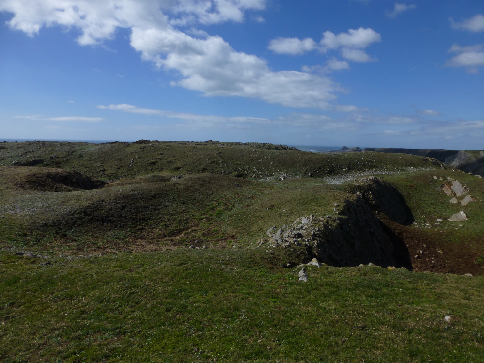

Not the most impressive ramparts, more than made up for by setting. That’s Exmoor on the horizon, across the Bristol Channel.

Some seriously steep cliffs drop away from the fort.