
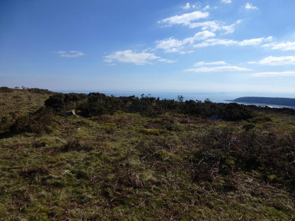
Cefn Bryn East cairn (SS52068889), just to the east of the highest point on the ridge (now topped by a covered reservoir). The mountains of the Brecon Beacons ranges line the far horizon.
Image credit: A. Brookes (21.3.2015)

Cefn Bryn East cairn (SS52068889), just to the east of the highest point on the ridge (now topped by a covered reservoir). The mountains of the Brecon Beacons ranges line the far horizon.

Detail of visible stonework in the rim of Talbot Road I ring cairn.

Talbot Road I ring cairn, well preserved on its southern arc. Looking east along the Cefn Bryn ridge.
Talbot Road I ring cairn, looking south towards Oxwich Point.

Looking towards Llanmadoc Hill and showing the remains of the circular cairn around the chamber.


ENORMOUS capstone – tiny little legs.


What a fabulous place this is.

Big skies over Maen Ceti, approaching from the Great Cairn.

Looking towards Rhossili Down (right) and Llanmadoc Hill (straight ahead), both with their own cairn cemeteries.

As Carl says, a pile of stones – but a large one.

The top of the massive capstone of Cefn Bryn can just be seen, right of centre. The Brecon Beacons are distant far left.


Looking across Afon Llwchwr towards Pembrey Sands and Llanelli.

The cairn in its upland setting, seen from the west.

Small standing stone just north of Cefn Bryn West cairn. Looking towards Llanmadoc Hill and the Llwchwr estuary.

Small standing stone immediately north of Cefn Bryn West cairn (see misc).

Stonwold E ring cairn, looking SE towards Oxwich Point.

Detail of stone work in the rim of Stonwold E ring cairn.

Cherhill (right of centre) and the North Down barrow cemetery, seen from Bishop Cannings Down to the south.

The fort at sunset, seen from the northeast near to Castell Bach, Cwmtydu cliff fort.

The outer bank. The inner banks can be seen beyond, way over to the left.


Looking towards the inner banks. The outer rampart is behind me, separated from the inner by a wide strip of clifftop.


The eroded ends of the inner banks, a section sliced cleanly through.

The fort occupies the flat clifftop above the beach. Part of the interior has fallen into the sea.

The excellent fort from the southeast.

Slight rampart on the western side of the fort.

Towards the westernmost part of Ceredigion. The distinctive conical shape of Foel-y-Mwnt promontory can just be seen on the distant right.

On the seaward side of the hillfort is a much lower, flat promontory, tipped with Ynys-Lochtyn islet.

The northeastern section of rampart. The artificial defences are slight, relying on the natural steepness of the hill.

On the eastern side of the rampart, looking NE along the Ceredigion coast.


The hillfort completely dominates the harbour of Llangrannog, which takes its name from St Carannog.

Pendinas Lochtyn from the southwest, not far from Castell Bach cliff fort.

The single, overgrown bank on the eastern side of the fort. The ditch (left) is largely silted up.

No need for defences on the seaward side of the fort.

Small mound inside the fort. The rampart can be seen below, curving from bottom right to centre left.

The western flank, it’s a steep climb up to the fort from this side.

Narrow ravine below the western side of the fort, providing fresh water.

Showing the cliffs dropping almost 100m to the beach below the site.

Castell Bach occupies the horseshoe shaped field, centre. The single bank on the southern and eastern sides is overgrown with the darker green vegetation. The flat-topped hill in the distance is Pendinas Lochtyn hillfort.

Pendinas Lochtyn seen in fading light from Aberporth Bay.

From the east the promontory appears beautifully conical. Cardigan Island can be seen over to the left.

The eastern side of the promontory drops sharply to one of the steep-sided ravines that characterise this part of the Ceredigion coast, with a ready water supply at its heart.

The fort rises over Eglwys y Grog. According to a leaflet in the church, a preaching cross and mortuary chapel were placed on the rocky summit during the Middle Ages, but there is no sign of anything there now.