
Landscape context from the southwest. Fron y Gog is the prominent conifer covered hill in the centre of the picture, rising over the streets of Machynlleth.
Image credit: A. Brookes (23.5.2015)

Landscape context from the southwest. Fron y Gog is the prominent conifer covered hill in the centre of the picture, rising over the streets of Machynlleth.

The very low mound is to the right of the cows. Looking NW.

Believe it or not, it’s between me and the cows.

Tarrenhendre, centre skyline. Afon Dyfi below.

The Trum Gelli cairns are at the left-hand end of the Tarren ridge. Tarrenhendre (also with a Bronze Age barrow) is right of centre. Tarren y Gesail, the highest summit of the Tarrenau, but without a cairn, is extreme right. The Afon Dyfi is the border between Dyfed/Ceredigion and Gwynedd, once two different kingdoms.

The Tarrenau from Foel Fawr across the Afon Dyfi to the southeast.

The twin summits of the Tarrenau, seen from Pant-coch across the Afon Dyfi in Ceredigion. Tarrenhendre is the rounded summit on the left, Tarren y Gesail – with no cairn – on the right.

The conifer-topped hill on the right is Fron y Gog hillfort.

According to CPAT the stone is possibly volcanic.

Looking west-ish.

Visited on a sunny morning, a complete contrast to the downpour the previous time I came.

Landscape context from the southwest.

Y Brenin Llwyd is in residence today. From Mynydd Ceiswyn to the east.

Looking over the peat bog to the Rhondda Fach (the dam of Lluest-wen Reservoir is below the light green hill just left of centre).

The centre of the cairn has been hollowed out, presumably during excavation/robbing.


Looking northeast to the head of the Dar/Dare valley. The ground on all sides of the cairn is peat bog overlaid with reedy grasses.

Decent sized cairn this. Looking east.


The cairn has a pretty large footprint, in fact it looks larger than the 8m diameter GGAT have for it.

Looking northeast to the open hillside of Mynydd Bwllfa.


The cairn is situated near the upper reaches of the Rhondda Fach, now dammed to form the Lluest-wen Reservoir.

Freed from the trees for the first time in decades. The cairn is behind a temporary wooden fence to ensure it doesn’t get damaged while the windfarm is being constructed.

The great view from Twyn Canwyllyr cairn to Y Mynydd Du.

All three Hirwaun Common cairns are intervisible with each other.

Twyn Canwyllyr cairn and the view of the Cynon valley.

Twyn Canwyllyr cairn, the most northerly along the escarpment. Unfortunately someone has dumped an old post and wire fence next to it, which has subsequently been set fire to.

The prominent Craig y Bwlch cairn from the boggier ground to the west. The treeline on the right is where Carl had his mudbath.

The dilapidated cist at the centre of Craig y Bwlch cairn.

The view from Craig y Bwlch towards the prominent peaks of Corn Du and Pen y Fan.

Looking across Craig y Bwlch cairn towards the mountains of Y Mynydd Du and Fforest Fawr.

Sizeable slab on the edge of Craig y Bwlch cairn, which may be a displaced part of the cist.

Craig y Bwlch cairn, on the highest part of Hirwaun Common (515m OD).

Tarren y Bwlch cairn is situated prominently above the clifftop. Seen from the west.

Looking over the edge of the escarpment from Tarren y Bwlch cairn. The other two cairns in this strung-out group are intervisible with this one.

Tarren y Bwlch cairn. Although it looks like an earthen barrow, the grass covers a mound of stone.

Tarren y Bwlch cairn, fringed with reedy grass. Looking west, the forested summit of Craig y Llyn is over to the left, the highest hill in South Wales outside the Brecon Beacons National Park.

Hut XIV, looking NW.

Hut V, looking west towards Cefn y Llethr Hir.

Hut IV.

Hut VI, looking SE towards the Cynon Valley and Aberdare.

Hut VI, looking southish.

Enclosure II, with internal subdivisions, is post-medieval but likely to have been built from remains of the prehistoric settlement that surrounds it.

Hut II, looking east to the edge of Cefn y Llethr Hir.

Hut II, looking towards the head of the Dar/Dare valley, with Craig-yr-Ysgol rising on the right.
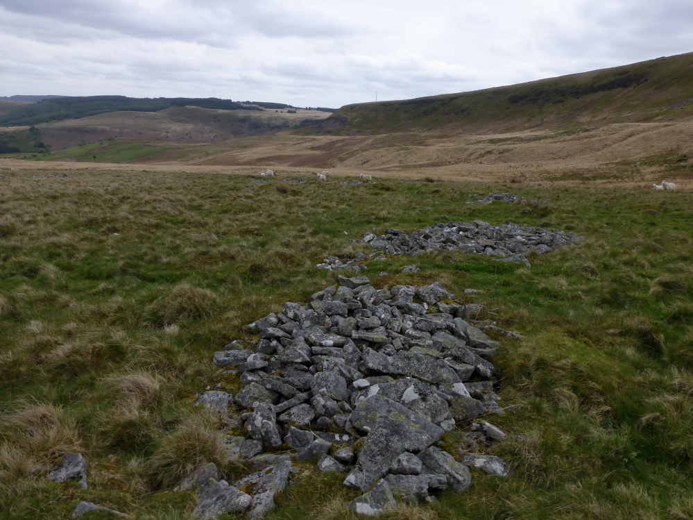
Fragmentary remains of the wall of Enclosure I, on the west side of the settlement.

The cairn is on the edge of the escarpment, left of the small outcrop. The viewpoint is the Mynydd Cefnygyngon settlement to the northeast.
