
Looking southwest over powerful multiple lines of defence, towards the Welsh border. The prominence of the fort provides views of the mountains of South and Mid Wales, from Pen y Fan to Pumlumon.
Image credit: A. Brookes (14.1.2016)

Looking southwest over powerful multiple lines of defence, towards the Welsh border. The prominence of the fort provides views of the mountains of South and Mid Wales, from Pen y Fan to Pumlumon.
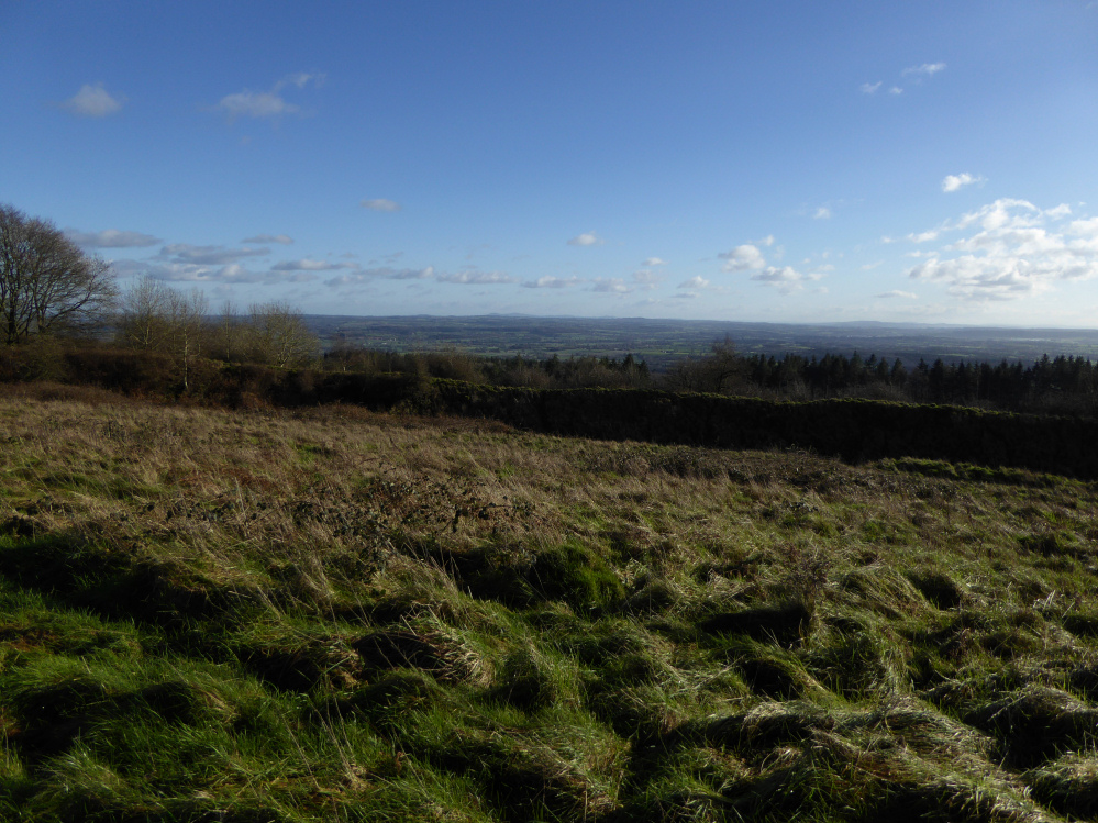
Looking southeast over the fertile Lugg meadows towards the distant Malvern Hills on the skyline.

Looking northeast over the overgrown northern escarpment towards prominent Titterstone Clee.

The huge inner rampart, which the National Trust has been clearing of trees and vegetation.

Multiple lines of defences at the eastern end of the fort.


Since I last came here the barrow has been fenced away from the surrounding field and a bull added.


Seven Springs. The road is very busy, even on New Year’s Day.


The Malverns, with British Camp the centrepiece, dominate the western skyline of the Vale of Severn for huge distances around. Seen from Wistley Hill above Cheltenham, some 20 miles away.

Looking up at the site from Oxwich Bay below.

The height of undergrowth may be misleading, but it looks as though the earthworks underneath may be pretty substantial: the GGAT record indicates a well-preserved and in-turned entrance and two lines of bank and ditch.

Unless Cadw are going to bring a helicopter full of Agent Orange, this is as close as you can get to the earthworks. There is – maybe – a hint of ditch on the right.

The bank is hidden under a tangle of brambles and undergrowth, just over the fence.

The fort is on the other side of the fence, just before the bend in the boundary. Taken from the southeast, where the ground slopes gently away from the fort towards the end of the headland.

Midwinter dusk.


Midwinter sunset between the facade stones.

Midwinter moonrise from the barrow.

From the track that leads up to Harestone Down. The field boundary to the north of the longbarrow is interesting, a massive bank of earth more like a dyke than the base of a lost hedge.

The northwest end of the barrow.


Looking northwest along the mound.

The southeastern end of the barrow, where the mound is highest.

The long barrow from the southeast.


The barrow from the path to the west.

The barrow from the southwest. The tower of East Kennett church can be seen over to the left.

Landscape context for Allington Down from Harestone Down. Tan Hill is the highest hill, the Down runs NE on the skyline. The ploughed-down barrows are towards the high point, the much better-preserved survivor is just visible due to the darker bushes on it, above and to the left of the barns. The hill on the extreme right is Cherhill.

Clifford’s Hill, Rybury and Tan Hill from the ENE. There is an Iron Age cross dyke and Bronze Age barrows (very ploughed-down) on the facing slopes of Tan Hill. The linear earthwork is the later Wansdyke.

Sadly ploughed-down round barrow downhill and to the east of the cross dyke.
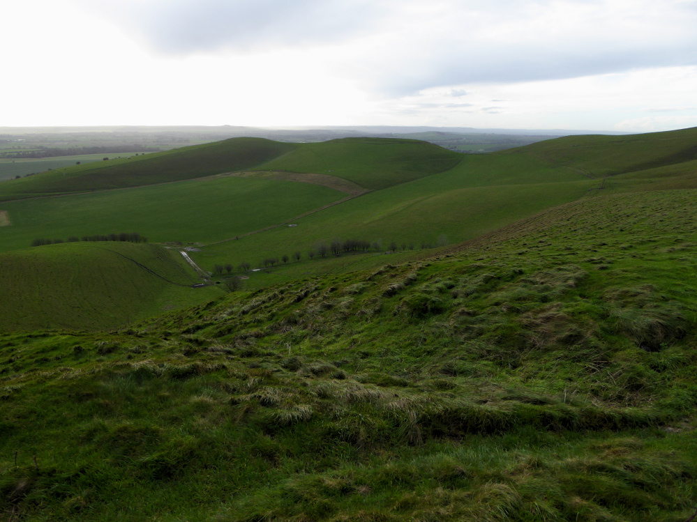
To the south the hillside drops sharply to the Vale of Pewsey. The flat-topped hill is Rybury hillfort.

Looking north towards Silbury and the Ridgeway beyond.

The hill on the skyline is Cherhill, location of Oldbury hillfort.
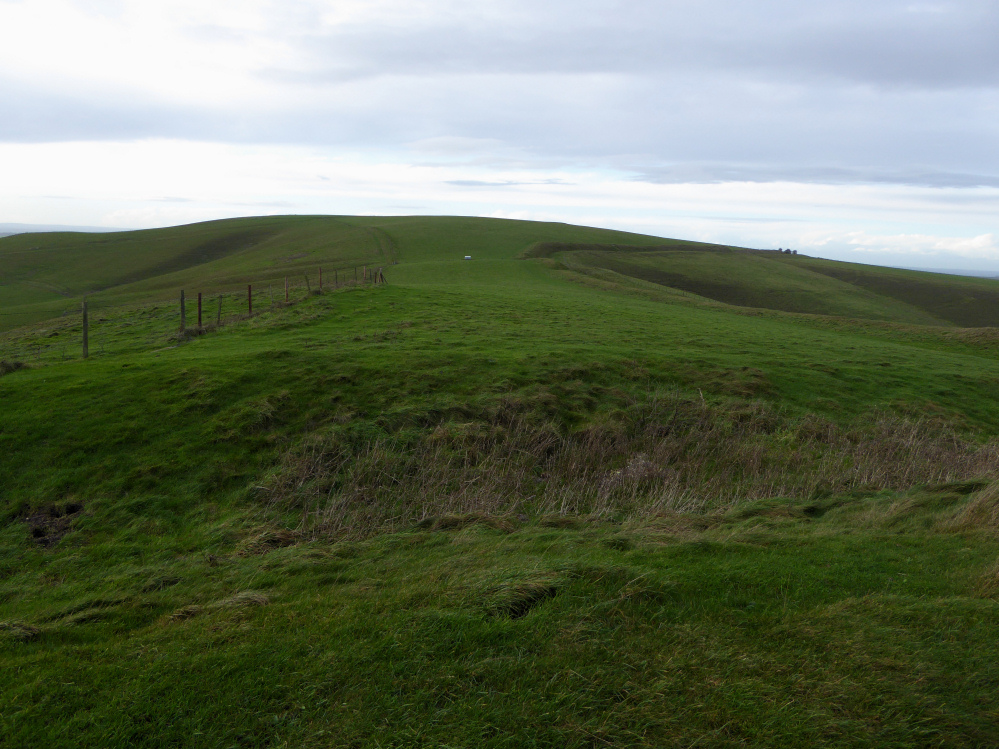
Looking west from the dyke towards the summit of Tan Hill. The later Wansdyke which overlays the dyke, can be seen climbing the hill on the right.

The Iron Age cross-dyke from the northwest. The ditch is on the west side of the earthwork, facing Tan Hill’s summit.

Rybury (centre) from Tan Hill, just after the solitary downpour of the day.

Landscape context from Wansdyke on Easton Down to the northwest. The barrow group occupies the spur on the right. There are no barrows on the summit of Tan Hill.

The long barrow from the south, with Cherhill in shadow on the left and the round barrow to the right.


The southwestern end of the long barrow.

Looking from the barrow towards Tan Hill, part of the highest ridge of hills in Wiltshire.


Easton Down round barrow in midwinter sunshine.

Zoom to the top of the round barrow and its temporary occupants.