


Landscape context for the flat-topped hill, from Stapeley Hill to the south. Not the best of images but it was a gloomy, rainy afternoon.

Looking southwest towards the mountains of Ceredigion and Mid-Wales.

Looking SSE along the Onny valley, between Heath Mynd on the left and multi-cairned Corndon Hill on the right.

Looking east towards the snow-covered ridge of the Stiperstones.

Looking northwest across the ring cairn. The prominent tree-covered bump on the skyline left of centre is Beacon Ring hillfort.

The Cow Stone and Corndon Hill.


Towards snowy Corndon Hill. The hill to the left of centre is Heath Mynd.

A gloomy January day, but the circle’s magnificence more than compensates.

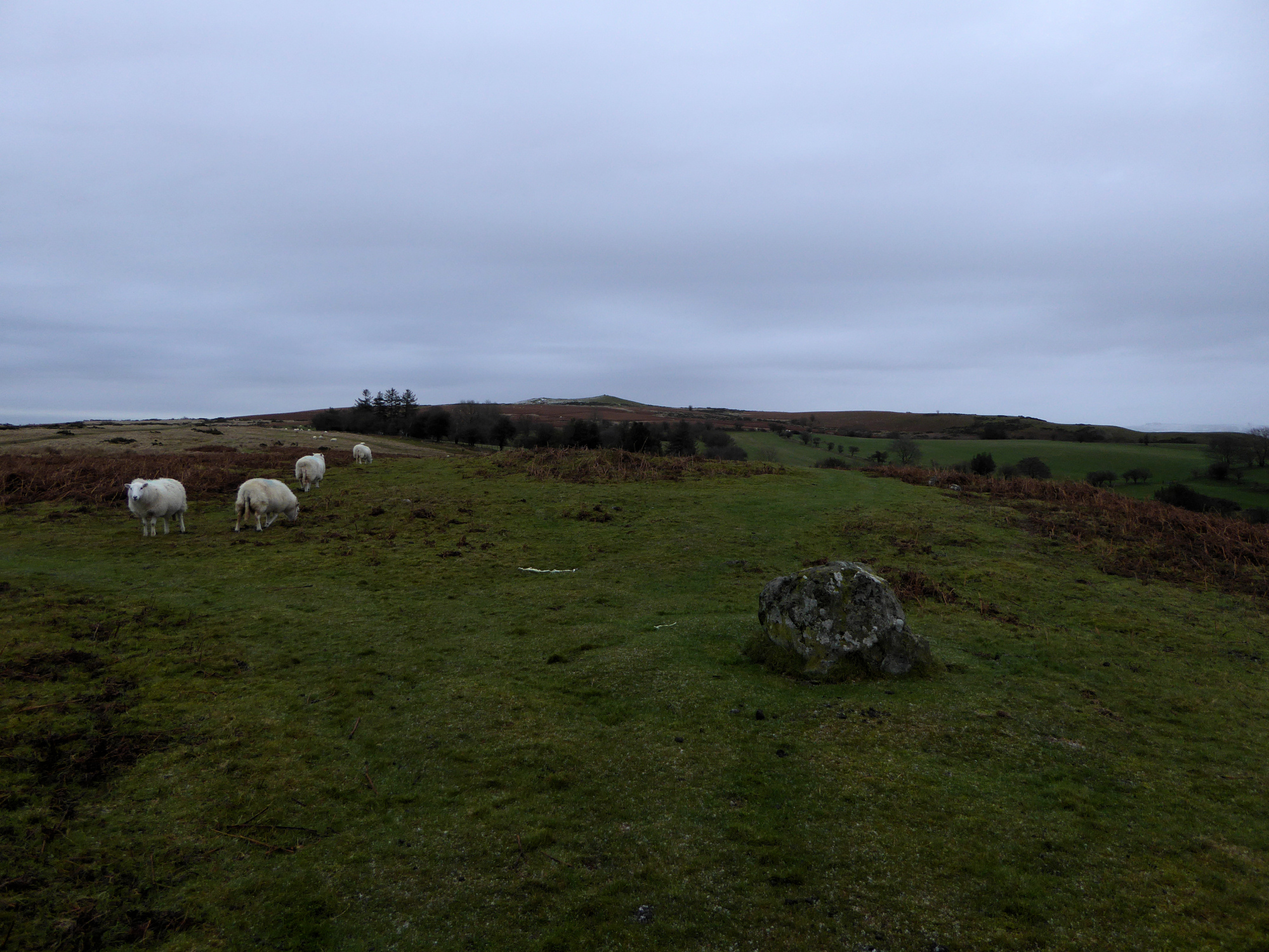
The cairn with outlier in front. Looking towards Stapeley Hill.


Whetstones cairn with Corndon behind. The summit cairn on Corndon – one of six or seven on the hill – is just visible through the sleet.
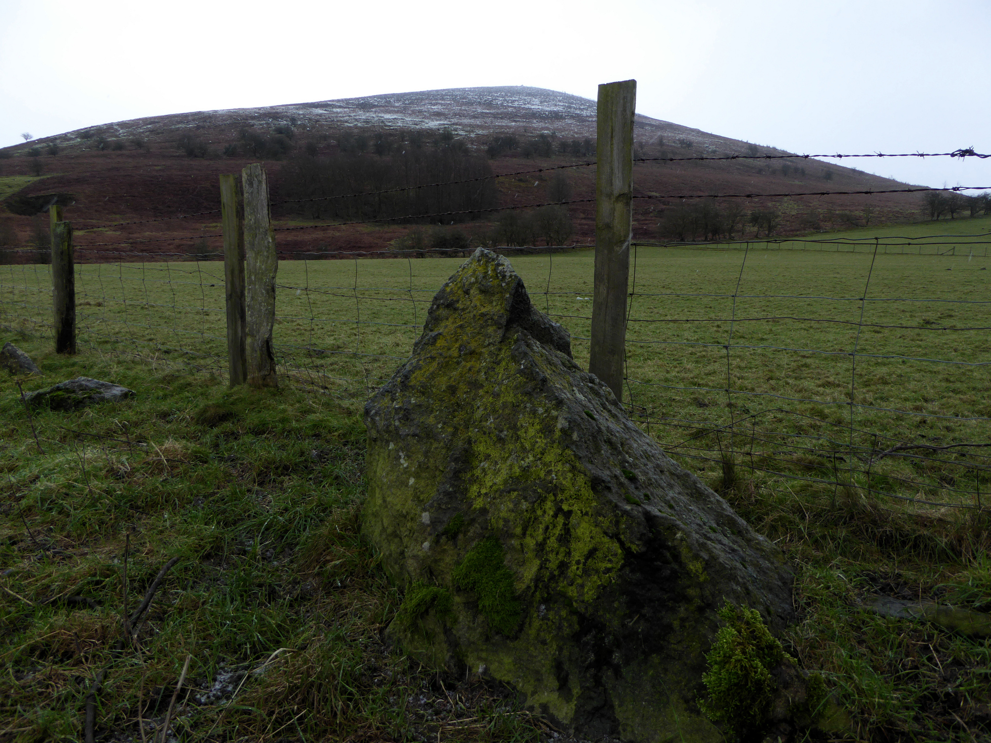
One of the sharper-edged stones. If this formed part of the circle it must have been bigger than it is now.

The stone on the right looked promising, its sides smoothed and rounded by wear. The others have sharper edges, which might be consistent with the breaking up of the circle stones in the 19th century.

Some of the stones in the fence, with Whetstones cairn in the next field. A horrible January sleet accompanied the visit.

Whetstones stone circle was hereabouts, beneath the northern slopes of Corndon Hill. There are some stones alongside the fence, middle distance. Could some of these have come from the circle? There are no other dry-stone boundary walls nearby.

Looking southwest into snowy mid-Wales.

There is a lot of stone in this cairn.

North towards Stapeley Hill and Mitchell’s Fold stone circle. This part of the cairn seems to have a self-contained footprint and it’s not easy to see how it forms part of a much larger feature. Perhaps the heather hides the answers!

The northern part of the cairn. Looking northeast towards the Stiperstones ridge, another hill topped with cairns.

If this is genuinely all one cairn then it’s huge. Looking northwest to Corndon Hill, across the border in Wales. Corndon boasts a superb cairn cemetery.

The OS trig pillar has been built into the cairn. Looking southish towards Bishop’s Castle. The Malverns are just visible way to the southeast.

Twr y Fan Foel rises above the waters of Llyn y Fan Fawr.

Seen from the south. The cairn is right on the tip of the escarpment, left of centre.

Winter view from Twr y Fan Foel, looking across Llyn y Fan Fawr towards becairned Fan Gyhirych, with snow-covered Pen-y-Fan and Corn Du on the left skyline.

The wooded hills of the Roveries, seen from Heath Mynd. The fort is on the hill on the left, but there are further earthworks on the hill on the right. The mountains of the Radnor Forest are the snowy skyline feature.

Roundton is the rugged little hill to the left of centre. Snowy Corndon Hill is over on the far right. Seen from the slopes of Heath Mynd.

Pen-y-Beacon/Hay Bluff centre, with Twmpa to the right. From North Herefordshire.

The conical shape of the hill is best appreciated from the hillside above Aymestrey, across the other side of the Lugg valley.

Inner and outer ramparts, northwest corner of the fort.

Gap in the inner rampart on the west side of the fort.

Looking down on the outer rampart from the inner at the southeast of the fort. The stone built nature of the bank can be seen.

Looking along the slight scarp inside the inner bank, on the east side of the fort.


Once inside the ramparts, the conical hill continues to rise fairly steeply to its summit.

Well-defined inner rampart at the northwest of the fort.

Looking along the outer rampart on the fort’s northern side.

Looking down on conical Pyon Wood from Yatton Hill Common, just west of Croft Ambrey, the nearest neighbouring hillfort. The snowy mountains of the Radnor Forest rise beyond.


Corndon Hill (centre) with Heath Mynd across the border in Shropshire to the right. The viewpoint is Croft Ambrey hillfort, way to the SSE in Herefordshire. I think the snowy summits over on the far left may be the Berwyns.

The fort sits at the top of a very steep slope when viewed from Yatton.
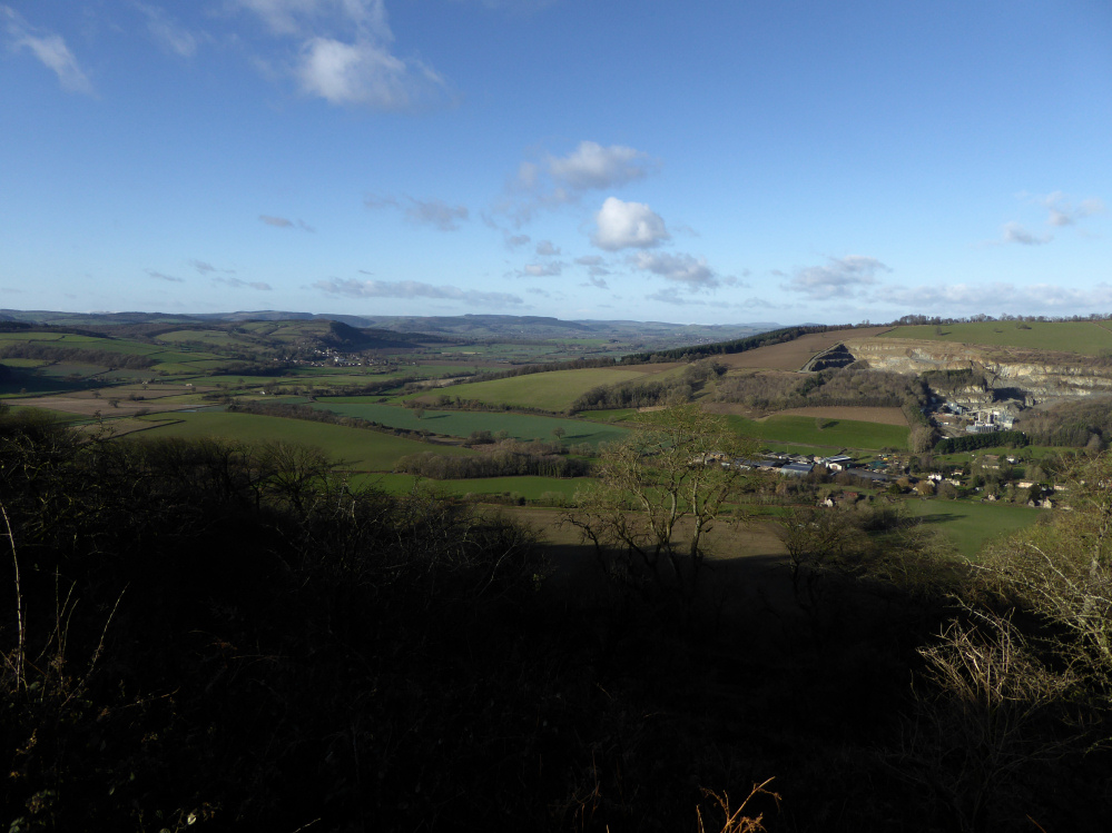
Looking northwest towards Wigmore, which has the remains of a fine castle. Corndon and Heath Mynd are visible on the distant horizon, with the snow-covered Cambrian Mountains beyond.

The curve of the inner rampart at the southeastern part of the fort.

The southern defences, showing how much higher the inner rampart is than the rest.

