
This is a massively thick stone, interesting to speculate on whether it was ever properly elevated on supports.
Image credit: A. Brookes (11.3.2016)

This is a massively thick stone, interesting to speculate on whether it was ever properly elevated on supports.

Looking northeast towards Porth Ceiriad. Pared Mawr cliff fort is visible as a bump on the skyline, centre.

From the south. The new fencing corridor doesn’t make for the loveliest of settings.

The single rampart survives to a decent height.

Squared corner at the northwest of the rampart.


The fort rises centre, the cliffs below steadily eroding.

The fort is to the left of the biggest “bump” on the clifftop. Seen across Porth Ceiriad from the east. The Llech-y-doll chambered tomb is at the end of the headland.

St Tudwal’s Islands can be seen on the right horizon.

Petrified tree stumps and roots, surrounded by peat. The Rhinogydd mountains can just be made out on the horizon, it wasn’t the best visibility.


Such a shame that this was destroyed.

The holes where the splitting wedges were inserted can be seen along the edge. There are further drill holes on the capstone, suggesting it was going to be split further.

The sheared off edge of the capstone.

The shattered capstone may be all that’s left, but it’s positioned at an excellent viewpoint, looking towards Garn Boduan, with a cloud-shrouded Yr Eifl over to the right.

Carn Fadrun (centre) seen from Traeth Crugan west of Pwllheli. The prominent outcrop to the left of centre is Garn Saethon.

Yr Eifl, Tre’r Ceiri and Mynydd Carnguwch at dusk, from Pwllheli to the south.

Carn Fadrun in silhouette just after sunset, seen from Pwllheli to the east.

Garn Saethon is the prominent outcrop over on the right, with the gentler slopes of Carneddol on the left. Seen just after sunset from Pwllheli.

Looking up at the awesome cliffs of Tyrrau Mawr from the train window crossing the Mawddach estuary. The cairns are to the left of the summit. Craig y Llyn with a further cairn is extreme right.

Landscape context in the Tawe valley.

Looking north, the stone circle is hidden by the rising ground.

The top of the cairn, looking east to the Tawe valley.

Looking west towards the waterfalls.

Approaching the cairn from the circle.

Another shot of the clearance cairn at SN85122056, looking towards the stone circle.

Small clearance cairn at SN85122056, halfway between the stone circle and Nant-y-Llyn cairn.


So good to be back after too many years.
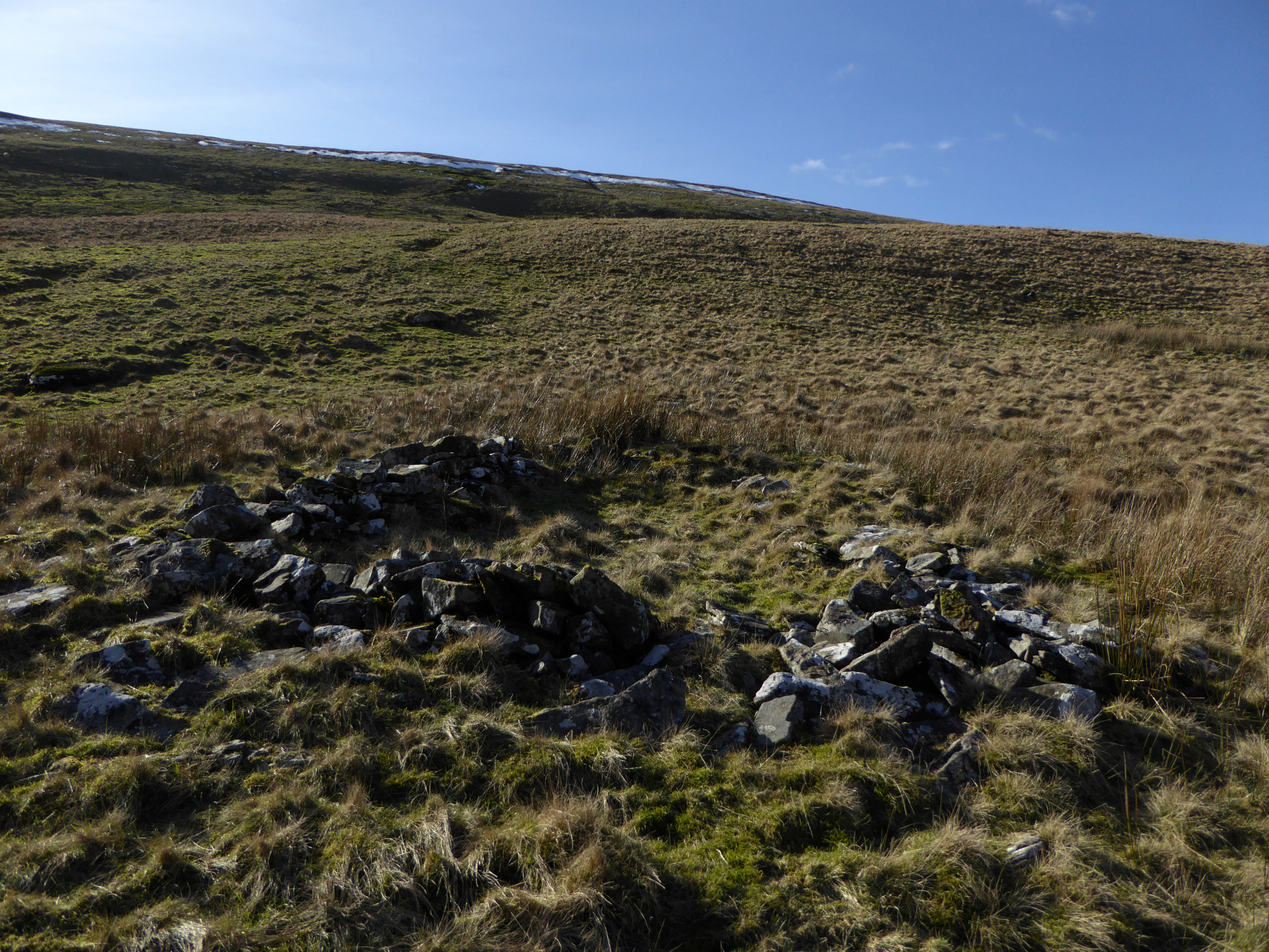
One of larger – and presumably later – sub-rectangular structures. The ridge above blocks the views towards the mountains of Y Mynydd Du and provides some shelter from the winds.

Another of the simple circular huts. Maen Mawr is visible from here, as indicated.

One of the smaller structures, looking down on the Tawe valley. The position of Waun Leuci standing stone is indicated on the hillside opposite.

Landscape context from the ridge to the northwest. The upper Tawe runs just below the circle. Fan Gyhirych rises on the centre skyline, and the flattened tops of Pen y Fan and Corn Du can just be seen on the far left.

Looking over to the neighbouring cairn on Fan Foel.
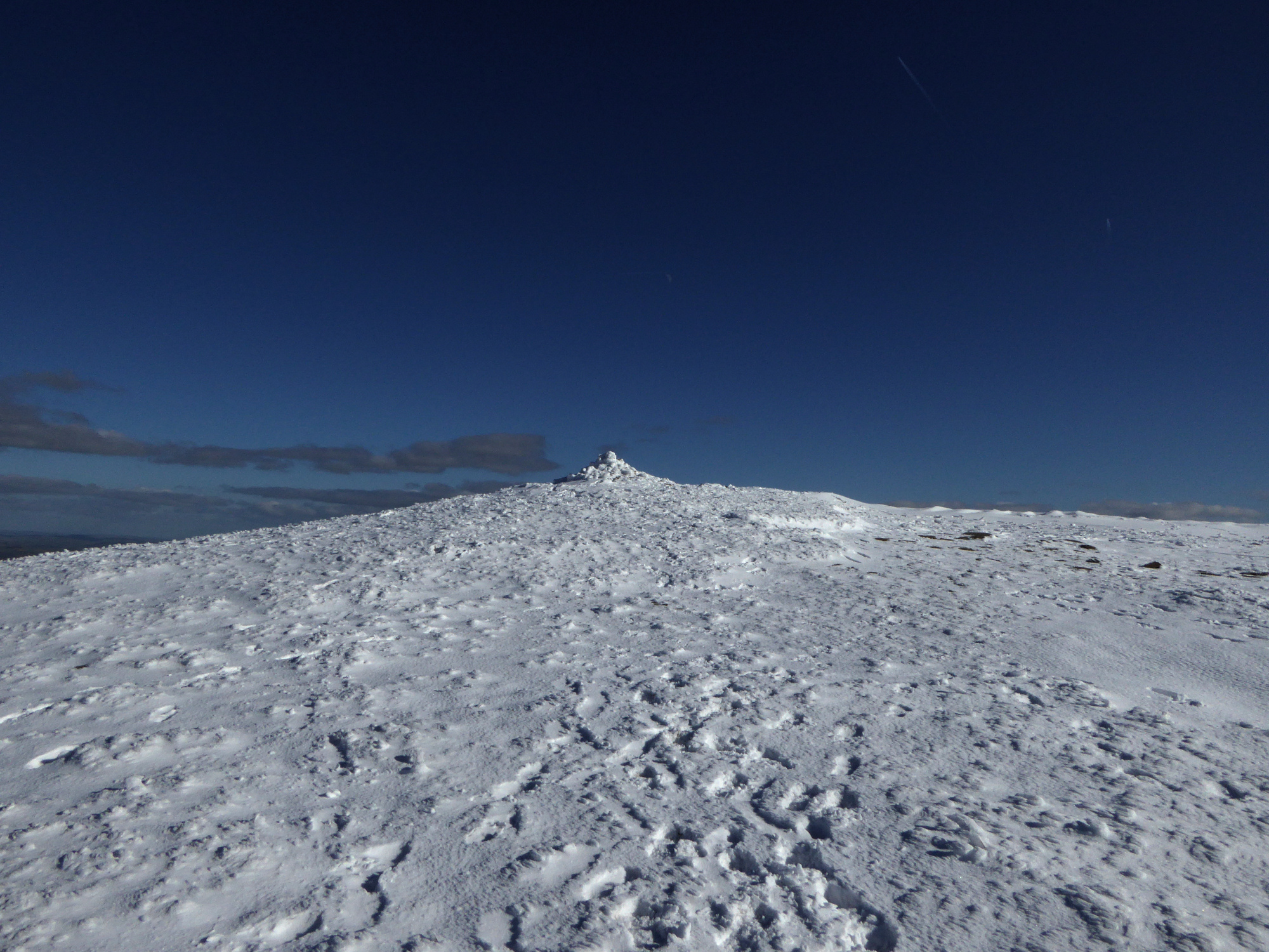
The original footprint is much larger than the modern walkers’ effort stuck on top.

The cairn is precariously placed on the top of the escarpment, right. Looking towards the Brecon Beacons.

Zooming in on the sunlit summit, the prominent cairn is clearly visible.

A momentary sunburst lights up the summit of Picws Du, centre.

The sun shines on Moel Feity. The relative height of the viewpoint makes it look like a modest hill, but it’s not much short of 2,000 feet tall.

Moel Feity is the hill over to the right, rising above the upper reaches of the Tawe valley. The cairn is located halfway down the hillside, rather than on the top. The viewpoint is Fan Hir.

Cefn Cul/Waun Leuci rises left of centre, with Fan Gyhirych over to the right. The Tawe valley runs below. Seen from the lower southeastern slopes of Fan Hir.


