
Burrington 14, 15 and 16 from the southeast. I like the little wooden signs asking visitors to keep off the monument, not too intrusive but clear.
Image credit: A. Brookes (2.4.2016)

Burrington 14, 15 and 16 from the southeast. I like the little wooden signs asking visitors to keep off the monument, not too intrusive but clear.

The fine Burrington 19, the other one of the pair to the south of the summit group.

The low mound of Burrington 18, one of a pair of barrows on boggy ground to the south of the summit.

The main summit group Burrington 13-16, seen from the south.

Burrington 16, at the eastern end of the closely-spaced summit group.

Burrington 15, a very fine barrow.

Burrington 14 and 15, just to the east of the summit cairn.

Burrington 13, looking east.

Burrington 13, the restored summit cairn on the highest point of the Mendip Hills.

Burrington 11, looking northwest to Weston and the Bristol Channel.

Burrington 11, the most westerly in the group, looking towards the summit cairn.


The northern pair from the southern.

The southern cairn, overgrown but protected from the erosion affecting the northern pair.

Sparkly slab in the northwestern cairn.

The northwestern cairn. The northeastern cairn can be seen far left, the southern cairn is darker feature silhouetted against the skyline on the right.


Detail of the northeast cairn.

Exposed stones on the top of the NE cairn.

The badly damaged north-eastern cairn, suffering from the main ridge path crossing right over the top of it.

According to the OS map, this raised area is where 6c is, but it doesn’t really match the Somerset HER record.

As far as I could tell, this is cairn 3. The position matches the OS 1/25000 and there is a definite low mound beneath and around the hawthorn bushes.

Cairn I from the south. The place where this photo was taken would have been in the midst of an extensive cremation cemetery.

By summer, cairn I is likely to be surrounded by high bracken.

The silver birches on cairn I greatly enhance the atmosphere.

Exposed stonework on cairn I.

The substantial cairn I.

Cairn I, beneath silver birches.


Fossils on the rocks outside the cave entrance.

Water cascades down into the cave entrance.


The wider footprint of the west cairn. Across the valley, above the treeline, is Dolebury Warren hillfort.

Exposed cairn material of the western cairn.

The low mound is overgrown with bracken and brambles.

The cairn is in an area of felled forestry, right by the track but hidden by the raised verge and bracken. The single silver birch is a good landmark.

The eastern entrance, framing Steep Holm island.

The remains of the warrener’s house inside the fort.

The southern ramparts, dropping away to the steep, wooded gorge that bounds the south of the site.


Elevated view of the interior from the eastern ramparts. Brean Down and Steep Holm island can be seen in the distance.

Looking north across the Yeo valley. I think the low hill on the far left is Cadbury Castle (Nailsea), another of the large hillforts of this area.

The magnificent view northwest towards Weston-super-Mare, the Severn and South Wales. The prominent hill is Worlebury.

The higher eastern end of the northern ramparts.

Northern ramparts at their lower, western end.

Inturned banks flank the western entrance.

Impressive lines of defence to the south of the fort’s western entrance.

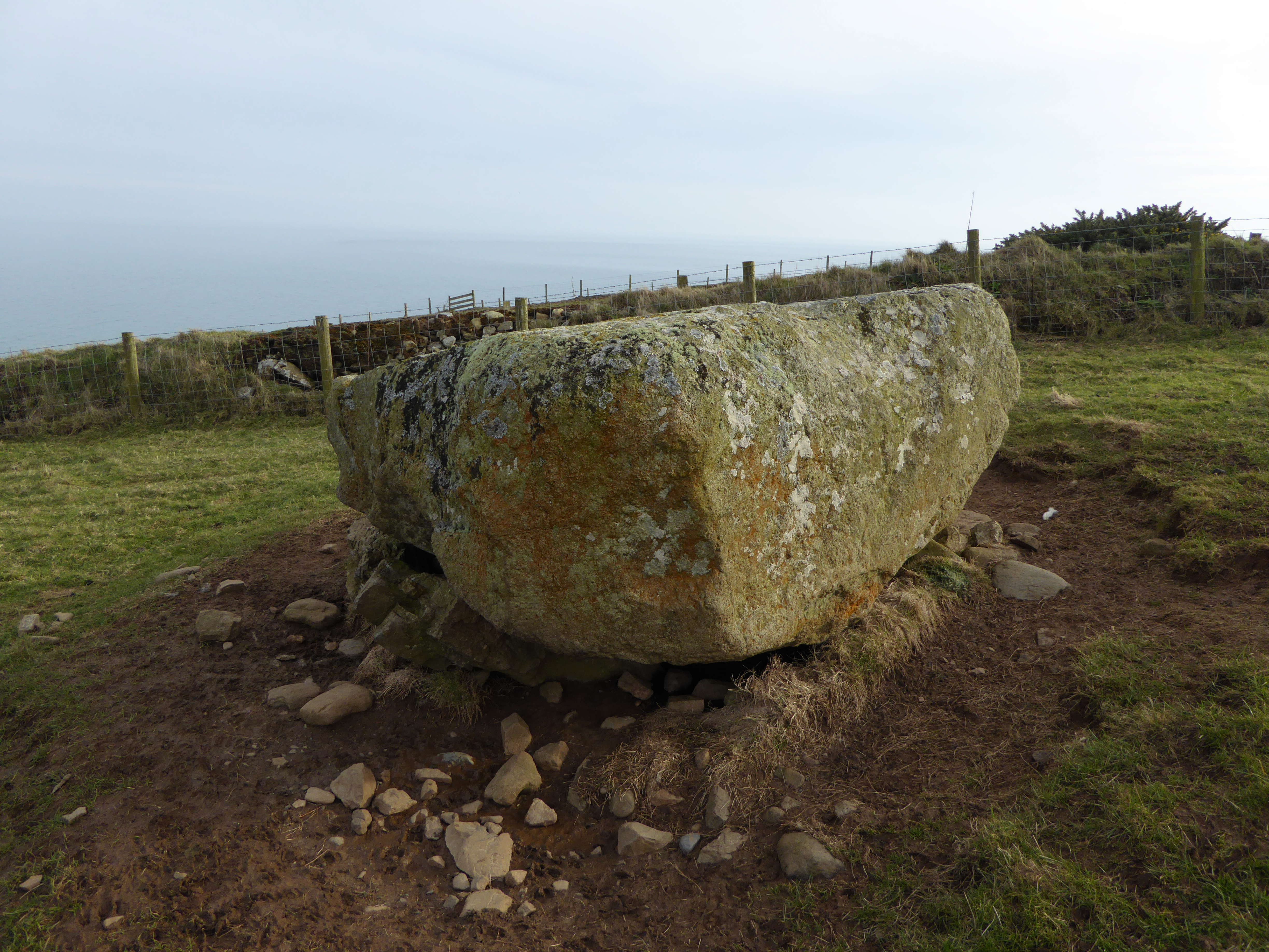
There’s a real feeling of edge of the world remoteness here.
