Image Credit: Natural Resources Wales
Image credit: LiDAR Composite Dataset. Contains public sector information licensed under the Open Government Licence v2.0.
Image Credit: Natural Resources Wales

Garn Saethon is the prominent outcrop over on the right, with the gentler slopes of Carneddol on the left. Seen just after sunset from Pwllheli.

Garn Saethon and it’s hill fort in sunshine, before it is Garn Bach, behind and to the right is Carneddol and behind that Mynnydd Tir-y-cwmwd with it’s destroyed but still findable dolmen. Taken from Carn Fadryn.
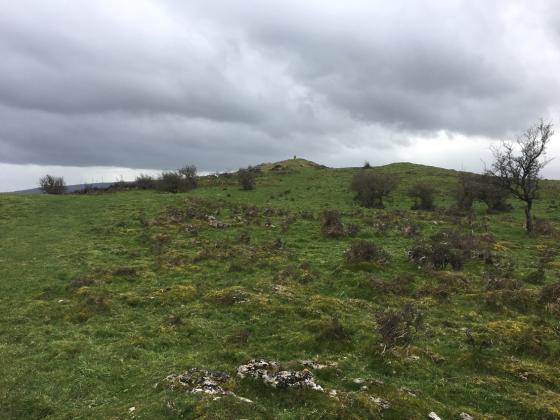
Coflein says......A roughly triangular area, 100m N-S by 77m, upon a craggy summit, rests on abrupt crags on the E and SW, elsewhere it is defined by a ruined wall.
On the E and N are traces of relict field walls below the enclosure.
The fort is highly visible from Carn Fadryn and from the road as you drive to Llanbedrog to see a ruined dolmen, but that was as close as we got, it’s on the list now so it might not be too long, but don’t hold your breath.