
Looking across the Menai Strait towards Carnedd Llewelyn (left) and Yr Wyddfa (right).
Image credit: A. Brookes (18.7.2016)

Looking across the Menai Strait towards Carnedd Llewelyn (left) and Yr Wyddfa (right).


The smaller southern chamber, with the larger northern chamber behind.

The superb double chambers.

The meadow surrounding the chambers has grown up since tjj’s visit last summer.

Perfect July weather at a perfect North Wales site.

From the northeast side, showing the fencing around the chamber.

Inside the chamber, reflected light filtered through the summer vegetation paints the underside of the capstone green.

Looking down on the chamber’s massive capstone.

The chamber surrounded by summer nettles.

The southern end of the mound.

The northwestern aspect of the barrow, with Yr Wyddfa/Snowdon on the right skyline.

The chamber from the north, the field slopes down towards the Menai Strait. Elidir Fawr and Moel Eilio provide the mountain backdrop, Yr Wyddfa is hidden by the central trees.

The Carneddau range seen across the Menai Strait from Ynys Mon. Carnedd Llewelyn, the highest summit, is just right of centre, with Carnedd Dafydd further to the right of that.

The fort juts prominently out into the Menai Strait. The shoreline on the right is Ynys Mon.

The eastern part of the fort has been landscaped into a garden.

Steep cliffs guard the seaward approach from the Menai Strait.

In the trees. I’m not sure if this is actually part of the fort, but a high security fence (which this is shot through the mesh of) prevented further exploration.

The rampart is hidden by the tree-line. From the south.

Long zoom from the northeast, with Gyrn Ddu rising behind.


Across the eastern ramparts to a brooding Nantlle Ridge.

Probably the original entrance, flanked by slightly inturned banks.

The ditch between inner and outer ramparts. G/F walks along the higher inner rampart.

Looking down on the outer rampart from the inner. Gryn Ddu and Yr Eifl provide the wonderful backdrop.

The slumping, crumbling cliffs below the fort.

The northeastern arc, where there are no stones, has had a low gorsey mound in it for as long as I can remember. It’s been cleared of vegetation to reveal some exposed stone blocks and a clear “bump”. It looks very like a small cairn, but there’s no record of anything on that side of the circle.

Looking southeast to the Nine Maidens ridge and the inevitable Ding Dong engine house. St Michael’s Mount, with the Lizard beyond, can just be seen far left.

The flat-topped headland immediately to the left of the rocky outcrops is Bosigran Cliff fort.

Looking northeast along the coast from the top of Carn Galva. There is an Iron Age courtyard settlement at Bosigran, approx. centre of image in the flat fields.

Rocky outcrops on the summit of Carn Galva.


Rock basins on the west side of the fort, looking towards a rain-lashed Pendeen Head.

The blocked entrance through the wall. Brooding Watch Croft, the highest hill in West Penwith, provides the backdrop.
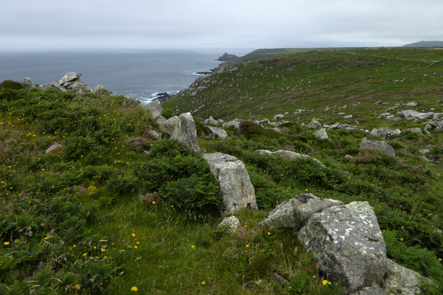
Big blocks of granite used in the rampart. The distant headland is Gurnard’s Head.

Ancient field system to the south of the rampart. Carn Galva is the prominent hill.

Exposed stonework on the eastern flank, possibly part of the reduced inner rampart.

The rocky spine of the headland, from the rocks of the highest part.

The rocky outcrops at the highest point of the fort’s interior.

Looking down the outer rampart towards Zennor Hill.


The fort from the northwest. The ground rises quite steeply up to the rampart from this direction.

Stonework showing through in the construction of the rampart.

The northern flank of the fort, looking up the Helford River.

Looking from the fort across the mouth of the Helford River towards Falmouth and St Mawes, highlighting the potential strategic importance of the site.
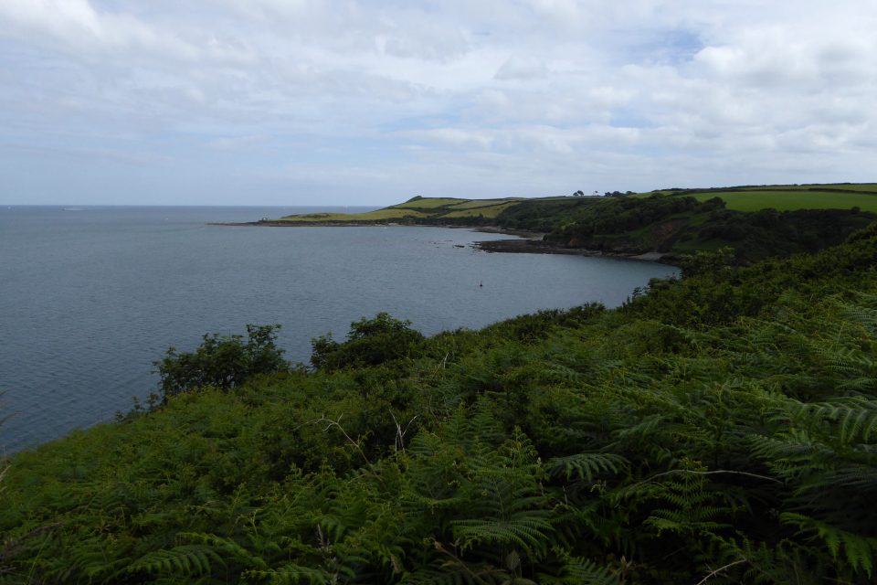
Looking southeast to Nare Point, itself a military observation post.

The entrance through the rampart.
