
Although the centre is disturbed, there is a good thickness of stones below the shelter’s floor level, highlighting how big the cairn is.
Image credit: A. Brookes (26.8.2017)

Although the centre is disturbed, there is a good thickness of stones below the shelter’s floor level, highlighting how big the cairn is.


The ridge on the left leads to Pen yr Ole Wen – the magnificent Carnedd Fach cairn is just behind the more distant person. Y Garn, Elidir Fawr and the western end of the Glyderau are the backdrop.

The veil lifts to reveal a world below.

Approaching in the mist from Carnedd Fach.

The mists swirl in again. Time to go.

The western side of the cairn, Elidir Fawr briefly emerging from the cloud.


Looking down on lovely Cwm Lloer in a reverse of one of Gladman’s images.

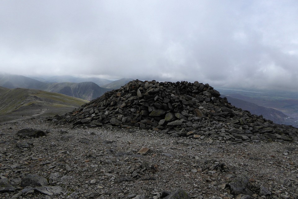
The cairn is so large that the wind shelter only occupies part of its top. The rest is shattered rock. Looking towards Tryfan.

The inevitable shelter has been built into the top of the cairn. The swirling cloud hides Elidir Fawr and the western Glyderau.

Big cairn this, despite the name.

The mist lifts to reveal the cairn on the approach from Pen yr Ole Wen. Carnedd Dafydd remains hidden beyond.

The solitary bulk of Carnedd Moel Siabod is centre, seen across lovely Cwm Lloer from the massive Bronze Age cairn of Carnedd Fach. Tryfan to the right of centre, with my route up here rising from centre to right of shot.

Castell y Gwynt can be seen as a prominent point on the shoulder of Glyder Fach, left of centre. For me this is probably the best side to view the Glyders from, showcasing the rugged rocky terrain and the plunging valleys and cwms beneath the peaks.

Tryfan does its magnificent pyramidal thing. Seen across the valley from Afon Lloer.

The settlement is far right, above the lakeshore. Tryfan and Y Garn preside.

Location, location, location. I’m sold.

Looking southwest towards Cwm Idwal and Y Garn.

Looking across the site and Llyn Ogwen towards Tryfan.

If it is prehistoric, it’s well preserved.

Pen yr Ole Wen towers above.

Arriving at the “house” on the footpath from the southwest, which cuts straight through the middle of it.

A bit glarey, but hey, it was nice to have some sunshine. From the path along the northern shore of Llyn Ogwen.

Between the outer and inner ramparts in the wooded western half of the fort.

Impressive section of the inner rampart, towards the middle of the south side of the fort.

Looking southeast towards the almost inevitable May Hill.

Southern defences, looking east. The inner rampart is much higher than the outer.

Southern defences, looking west. The edge of the Black Mountains can be seen in the distance, far left.

The fort from the east. The main entrance is at this end, centre of image.


The open interior of the eastern half of the fort.


The northern defences, following the track below the inner rampart eastwards.


Cherry Hill is the hill to the left of the church spire. Seen across Fownhope from the southeast, about halfway between Cherry Hill and the nearest hillfort neighbour Capler Camp.

Aconbury rises prominently above its surroundings, centre. Seen from the road below Capler Camp to the northeast.

I’ve no idea if this is anything to do with the cairn or not. It seems to have gone unremarked by other visitors and this is the only picture I have of it. Needless to say the village is Long Compton, and this is in the position of the mound that blocked the King’s view.

Thunder rumbles and the storm breaks over Worcester. Nice and dry here though.

Looking northwest. The Clee Hills in Shropshire are the next big upland area, on the distant skyline. To the left is where I grew up in Herefordshire.

The southern annexe, with visitors showing off the enormous scale.


Looking into Worcestershire, over British Camp Reservoir.
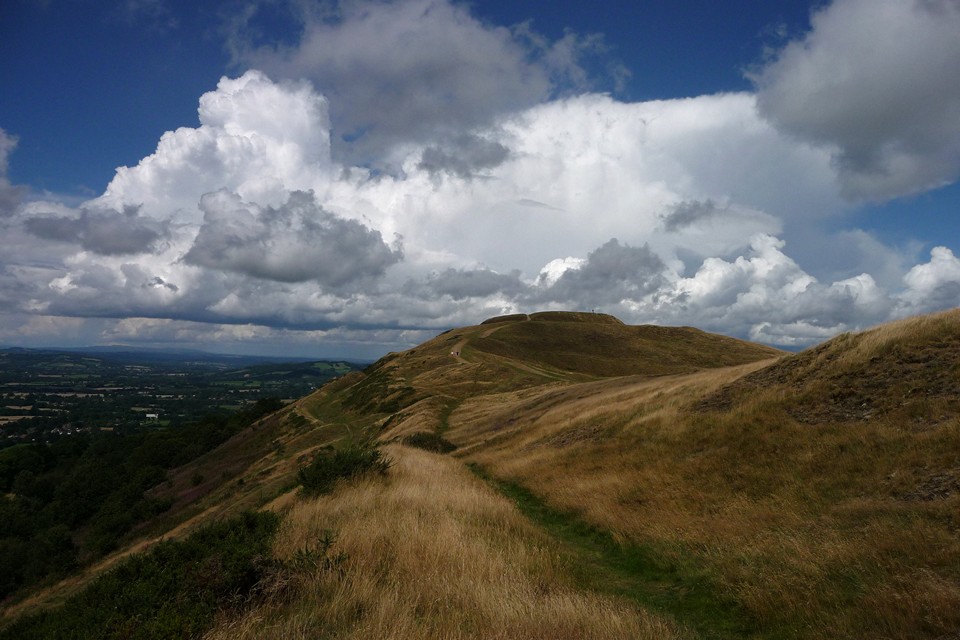
One the western flank of the southern annexe, looking north.

Looking along the western flank of the northern extension towards the original central section of the hillfort.

Severn Valley context, from Witcombe. Bredon Hill in the distance, right of centre. Other Iron Age sites on the Malverns (far left), Churchdown Hill (in front of the Malverns), Oxenton Hill (right of Bredon) and Nottingham Hill (far right).

Graig Lwyd (far right) in its setting between sea and mountains. The Druid’s Circle and monument complex is in the hills towards the centre. Seen from Trwyn Du at the northeast tip of Anglesey.

