
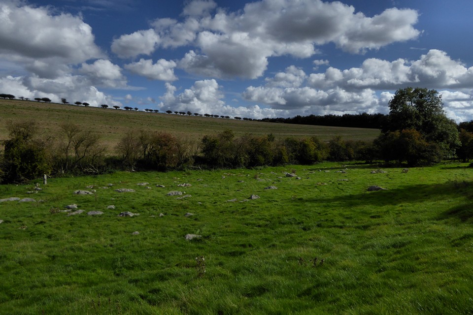
Northern arc of the second sub-circular feature at SU 13065 69886.
Image credit: A. Brookes (22.9.2017)

Northern arc of the second sub-circular feature at SU 13065 69886.

To the west of the site of the circle, there is a second sub-circular arrangement of sarsens that does not appear to be wholly natural, at SU 13065 69886.


The taller southern stone.


The smaller northern stone.


Another view of the “propped” stone, showing it to have a nicely tapering shape.

On the western slope of the valley, a little above from the main sarsen drift in the bottom, I came across this isolated “propped” stone. It almost looks as though it could have been standing at one time.


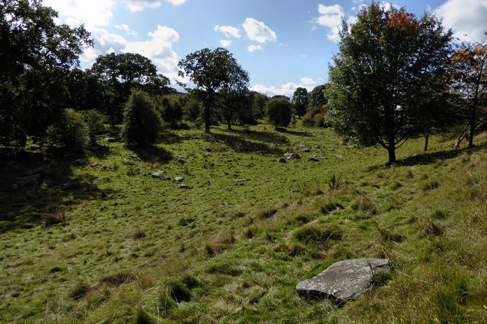
View of the middle section of the valley.

Plenty of natural cupmarks here.


The silted up ditch on the north side.


The east end of the barrow, very overgrown at this time of year.

The drop to the quarry,standing on the rampart.

The inside of the rampart on the western side of the eastern section. Just beyond the trees is a sheer drop to the quarry.
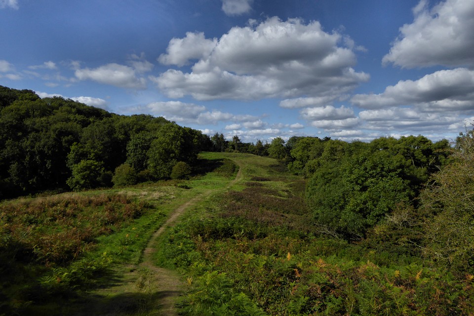
The eastern interior, looking north. This section provides a flatter and more sheltered space than the higher western ridge.

The eastern interior, looking south. The overgrown circles on the left mark the position of round houses.

Wooded section of the northeastern rampart.

Late summer reprise of winter image from 2009. British Camp and the northern section of the Malvern Hills over the right, the Clee Hills in Shropshire visible in the far distance.

The view westwards across southern Herefordshire and into Wales. The Black Mountains escarpment are on the distant skyline.

Looking south along the western ramparts. May Hill in Gloucestershire is centre skyline, with the Forest of Dean to the right of that.

Looking down on the outer western rampart from the inner.

Enclosure wall, looking towards Gyrn Wigau, with becairned Drosgl over on the right.

The solitary hill over on the left is Moel y Ci. Just to the right of that Holyhead Mountain on Ynys Mon can just be seen in the far distance.

Towards Carnedd y Ffiliast at the northwestern end of the Glyderau range.

Another of the structures. Looking up the slopes of Mynydd Du. The sheep is about to cross one of the walls of the enclosure.
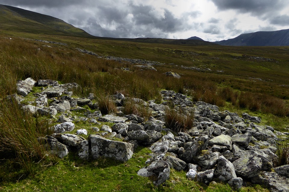
Looking towards the Ogwen Valley. Glyderau over on the right.

Big stones used to form the base of one of the circular structures.

General view northwest, looking towards Bethesda. I think that’s Moel Faban over to the right.

One of the circular structures, looking towards Carnedd Dafydd.

Carnedd Dafydd towers top right, an immense mass of rock, plunging down to the Afon Llafar below. Seen from Mynydd Du.

Below the long ridges of the Carneddau are some spectacular cliffs and cwms. Here Carnedd Llewelyn is top left, with Ysgolion Duon (the Black Ladders) to the right, above the head of the Afon Llafar.

Drosgl is the rounded summit to the right of centre skyline. Looking across Cwm Llafar from Foel Meirch.

A hint that there is a world below, looking west with the cairn’s guardian.

The cairn seen across the summit plateau of shattered rock from the northeast.

Showing the damage done by walkers creating shelters from the stones of the cairn.
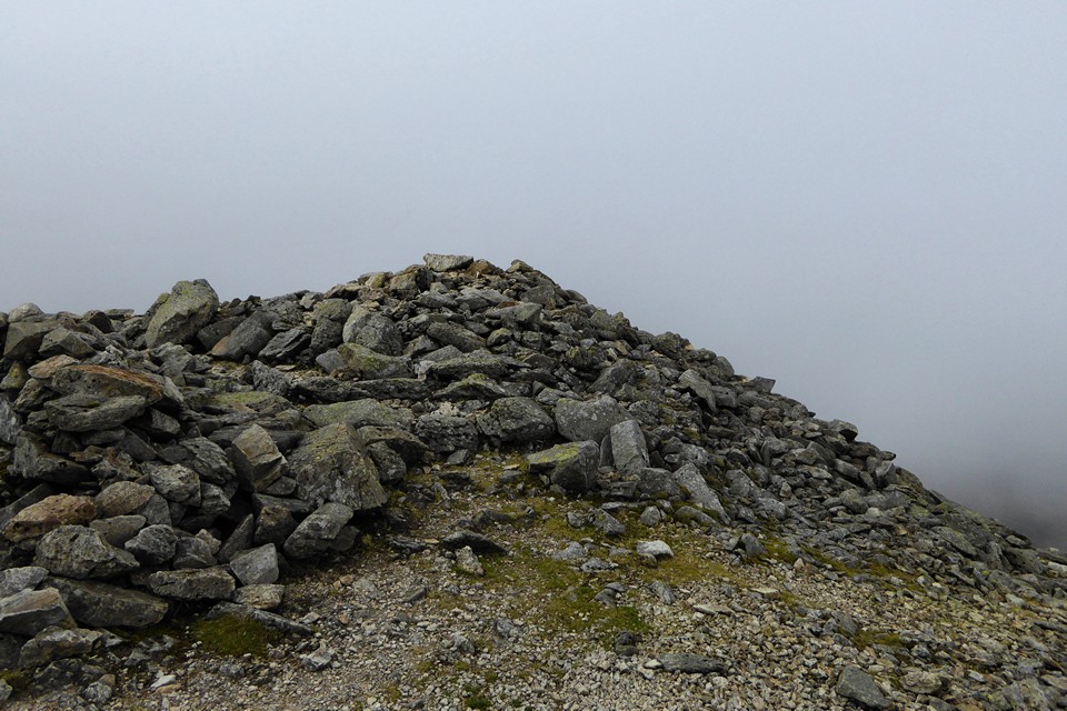
The cairn is positioned right at the top of the slopes of Carnedd Dafydd.

The summit cairn, with kerbing visible on the southeast.