
Looking over the eastern rampart towards Priestholm (Puffin Island) with Great Orme behind.
Image credit: A. Brookes (22.7.2017)

Looking over the eastern rampart towards Priestholm (Puffin Island) with Great Orme behind.

The interior is now a lush meadow, hiding any structures but providing a lovely haven for butterflies and insects.


Some of the stones that formed the base of the original defensive wall. These are some of the stones shown on the 1869 drawing.

The view southeast towards the Carneddau mountains and Llanfairfechan.

Looking down on Traeth Coch/Red Wharf Bay from the western rampart.

Looking southwest from the southeastern corner of the fort.

The southeastern corner of the fort, where quarrying has destroyed the line of the rampart.

The tomb with mountain view across the Menai Strait, looking towards Tryfan and the Glyders.

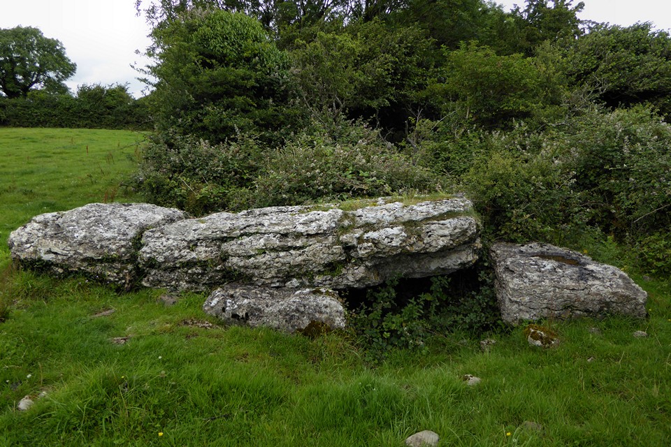
The massive stone the caps the tomb is actually quite narrow.



Looking through the TMA photos of this site sequentially makes it even more obvious that the bush needs cutting right back. Great site, despite the vegetation overload.


There would be a great panoramic backdrop of the Carneddau and Glyders if someone cut that damn bush down.

Faint traces of a mound can still be seen.

Bwrdd Arthur is the very obvious flat-topped eminence towards the left-hand end of the headland opposite. Looking across Traeth Coch – Puffin Island (Priestholm) far left, Snowdonia’s mountains glowering from underneath the clouds the background.

General view from the southeast. The interior is now a caravan site. Apologies for the dull pictures, the weather was pretty awful.

The cliffs guarding the seaward side of the promontory.

Another round bit.

I assume that if any parts of the settlement are pre-Roman, it will be the round bits.

Is it normal to have a thing for Ministry of Works signs?

The lovely Ministry of Works signs have been repainted.


You can see a line of marks where someone intended to split the capstone.


Time ran out and I realised that the cisted cairn was further away from the standing stone and its cairn than I’d thought, so I had to abandon looking for it. But I did come across this little dolmen folly made from field clearance.


The standing stone. The eastern cairn is just above the bottom of the slope, extreme right.

The cairn next to the standing stone. The Berwyn mountains can be seen in the far distance.

The stone and barrow, looking northwest. Cadair Idris is the mountain on the left skyline, the hill immediately in front of it is where the excellent Yr Allor cairn is, with Cerrig Caerau and Lled Croen yr Ych stone circles to the right of that.

Context for the monuments from the summit of Ffridd yr Ystrad. I managed to walk right past the eastern cairn without seeing it, it was only when I looked back from the hill that I realised but time had run out. The Arans and Berwyns can be seen on the skyline.

Hill portrait from the northwest, on the way from visiting Yr Allor cairn and the Cerrig Caerau and Lled Croed yr Ych stone circles.

Landscape context from the southeast, on the way to Ystradfawr. Yr Allor is on top of the steeply sloping hill just to the right of centre, the two stone circles are on the saddle to the right of that. Cadair Idris is the mountain in the background.


Looking northeast towards the nearby stone circles of Lled Croen yr Ych and Cerrig Caerau.


Looking northwest to the mountains: Cadair Idris far left, Dyfi Hills centre and Arans to the right.

The beautifully preserved kerb of big blocks. Trannon Moor is over to the left, with windfarm.

The southern arc of kerbing. Some additional stone has been added onto the big kerbs at the southeast, probably clearance.


The wonderful northwestern panorama, from Cadair Idris, across the Dyfi Hills to the Arans.
