Eroded red quartz face on rock at Rathgeran summit (enclosure).
Image credit: ryaner
Eroded red quartz face on rock at Rathgeran summit (enclosure).

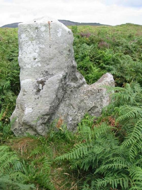
Alignment, including the curious slab, on Rathgeran summit (enclosure).

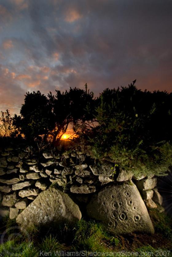
Possible cist burial on Rathgeran summit (enclosure)
Bowl-like indentation.

On a raised mound, tilting up from the north-west to the south-east.

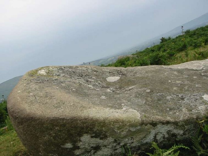
That’s Blackstairs Mountain on the left, with Caher Roe’s Den on the ridge south-west of it.

Fancy a rest guv?
According to the Archaelogical Inventory of County Carlow, item no. 317 at Rathgeran:
Enclosure (possible) Grass-covered bank of earth and stones, including some large slabs, several standing upright, curving W–N (C 52m; est. Diam of circle if complete c. 80m; enclosing summit of hill). 1-9-1987
Archaelogical Inventory of County Carlow.
The Government of Ireland (copyright)
ISBN 0 7076 0324 2
This site really needs to be properly surveyed and studied.