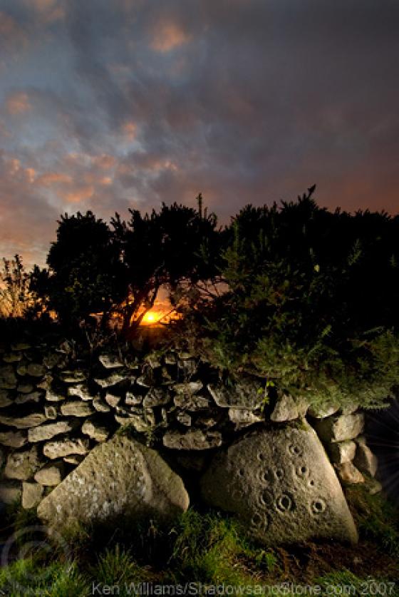
Looking roughly north over the entrance

Looking roughly north over the entrance

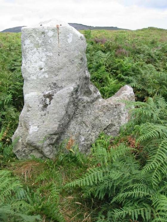
The entrance, with Tomduff Hill and Slievebawn in the near background left and Mount Leinster further back at the right.
I started at the road (S767536) where there is a forest track and headed up. It’s about a 150m climb but not too strenuous until you have to negotiate some field walls at the very end of the track. Over 2 walls and you’re in the field that reaches the summit and the hillfort.
There are a few small hills like this to the west of the Blackstairs. One is at Rathgeran with its hilltop enclosure and its wonderful rock art. You can see Rathgeran from here. Presuming that the hillfort on Knockscur is of iron-age vintage, and given what’s at Rathgeran, I scoured the rock-littered slopes west and below the hillfort in a vain attempt to find some carved rocks.
The enclosure itself is very visible at this time of year. The bracken is dying away leaving the rubble ramparts visible, especially on the western side with its curious (to me) entrance. The circle of the fort is split by more modern stone wall field boundaries, but the ramparts follow on into the neighbouring fields, though these are overgrown with gorse and hard to make out.
There is no date given for a site visit in the Arch. Inventory and their entry is taken from ‘Carloviana 1986, 9’, leading me to believe that the site has never been properly surveyed.
Item no. 129 in the Archaeological Inventory of Co. Carlow – Hillfort. Univallate. Subcircular area on hilltop (max Dims c. 101m N–S; 112m E–W) enclosed by traces of rubble rampart with stone facing. Stone-faced entrance gap at WSW (W 3.1m)


