The sun setting between the two tallest remaining stones.
Image credit: Bawn79
The sun setting between the two tallest remaining stones.

Actual setting sun – in relation to the axis

notch again

I found this notch unusual looking as well

The ‘holy water’ font again

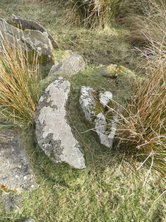
The opposite side of the taller stone

Closeup of this healing water holder.

Unusual markings on this stone

Looking south-west, apologies for the sun glare.

Looking east/ southeast

Looking NE

Looking westish
When I looked at the stone row on the map I thought in might be aligned to the Mothers Mountain. However there is another hill in the way but i do think it is pointing in the direction of the mountain.
I really like the unusual holy water font on the largest stone. There are a few unusual markings on the other stones Im sure all are natural but i said id post them anyway just in case. The views around it aren’t especially stunning.
Its pretty easy to get to. There is an unmarked farmers track right up alongside it. All in a very impressive row.
Taken from North Tipp Archaeological Inventory
“Stone Row
Situated at the base of the N slope of a small hillock which in turn is on the SE-facing slope of a ridge in an upland area. Site indicated on 1st ed. (1840) OS map as ‘Three Stones’. Not depicted on subsequent 2nd Ed. (1902). A row of four stones aligned NE-SW with a possible fifth stone (H 1.3m; Wth 0.45m; T0.2m) lying prostate near a gap in the row; overall length 7.63m. These limestone orthostats are set in a slight hollow with a little evidence of packing-stones, though there are tufts of grass around the bases. The largest standing stone (H 1.78m; 1.56m x 0.4m), at the SW end, has a hole in the face into which hands were dipped as a cure for warts. From the NE to SW the remaining three stones measure: (1) H 1.05m; 0.76m x c. 0.3m (2) H 1.56m; 1.47 m x 0.28m (3) H 0.95m; 0.8m x 0.53m”