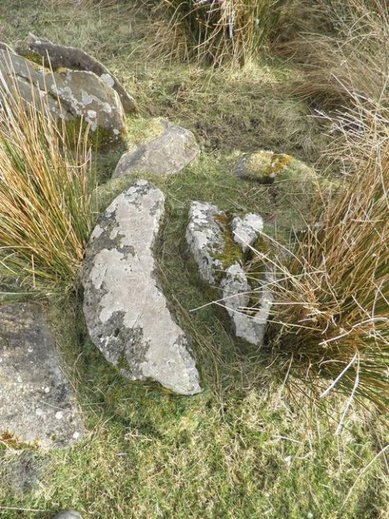
This actually looks more like the entrance than the photo suggests
Image credit: Bawn79
This actually looks more like the entrance than the photo suggests

Looking through the tomb, it is hard to know which end would have been the entrance, the north or south end

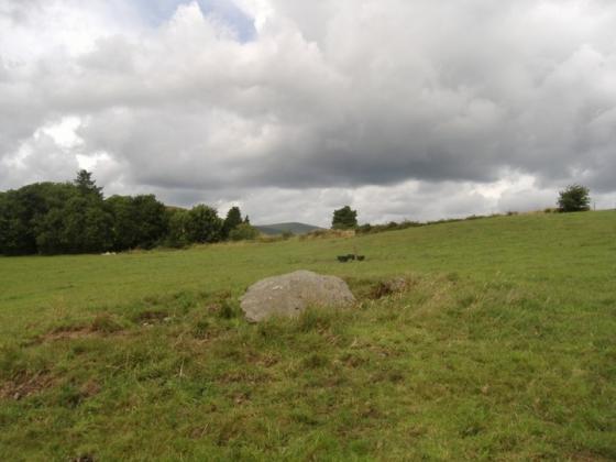
This is the biggest remaining stone, about 0.5m high by about 1.5m long

Toward the east

Toward the south

Looking toward the north

Looking towards the west
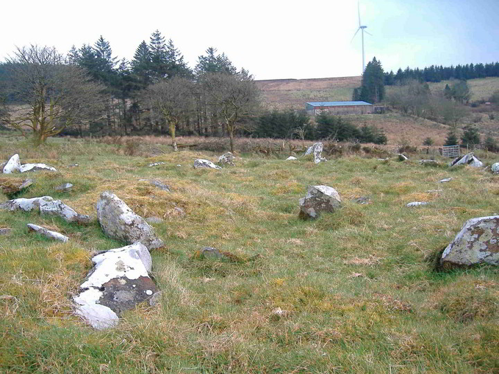
This is down on the OS map as ‘stones’ and its been intriguing me for quite a while. Finally got to see it and although I thought before going to site it might have been a stone row it turned out to be what looks like a court tomb (this is based on the fact that to me it looks a lot like Shanballyedmond which isnt that far away). The diameter is roughly 62m and I would think it was aligned north-south or south-north, it was hard to tell which ‘end’ was the end. Its just off the road as well so is easy to find. One part of the field it is in had a load of stone field clearance.
Edit
The SMR records the site as a Ring-Cairn with the following description.
“On a gentle SW-facing slope of rising ground in upland region overlooking the Gortnageragh river valley from S to W. Directly N of the ring-cairn there is an outlying low orthostat (TS045-001002-). Monument consists of a low circular rise (diam. 18m SW-NE; 19.5m NW-SE; H 0.3) of loosely piled stones or low orthostats (avg. dims. 1m x 0.5m) which in places consists of double rows of orthostats defining the perimeter of the monument which may represent internal and external kerbing containing cairn material, indicative of a poorly preserved ring-cairn. The interior is fairly open with several low mounds of loosely piled stones. In the OS Namebook (1840) the ring-cairn is described as a fort which ‘has a sepulchral chamber inside it’ (O’Donovan et. al.) while its local name Rathnacloghal fort is translated as the fort of the white stones.”