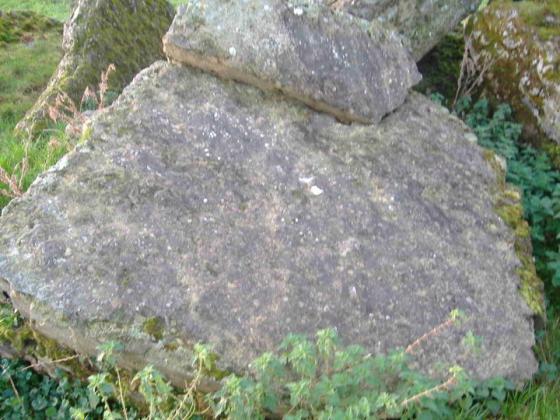
The top of the cairn, there are a few stones protruding through the heather but overall it is very indistinct
Image credit: Bawn79
The top of the cairn, there are a few stones protruding through the heather but overall it is very indistinct

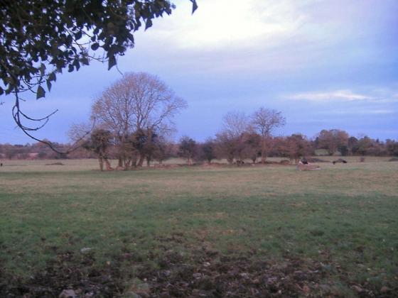
View over the cairn into the valley, the hillfort on Knockanora can just be made out the second hill from the left in the background, Third if you include the wooded spur in the mid ground
This cairn is on the summit of Ben Dubh which is mentioned as the source of the River Suir which ends up meeting the sea way down in Waterford. The hill itself is over 400m high and is a pretty difficult climb. I followed the valley of the stream that can be clearly seen on the OS map leading towards the top.
However the path seems to follow along side the stream and between a boundary fence (barb-wire) and I had to climb over the fence three or four times. Best way to go up would be to stay out from the valley and climb the spur to the right then walk along the summit to the top of Ben Dubh.
On the other hand I wouldnt really recommend coming up here except for the view. The cairn is very indistinct and really not up to much. It cant be seen from surrounding lowlands or surrounding hills. The North Tipp inventory isn’t sure whether it is an ancient cairn or a 19th century folly.
The hillfort on Knocknanora can be quiet easily seen from here and it would suggest to me that the hillfort could be quiet big and possibly worth a look.
On an aside as i reached the peak I could see this massive rain shower coming up the valley below. I was preparing to get soaked but it stopped up about 100m from the cairn and didnt rain on top of the hill at all, which was great. So thank the Gods for that one!