
Unknown standing stone not far from Askew Heights Round Barrow. I have no idea if its old or been placed there in later times.
Image credit: Stuart Anthony
Unknown standing stone not far from Askew Heights Round Barrow. I have no idea if its old or been placed there in later times.

On the round barrow looking east.
On the barrow..

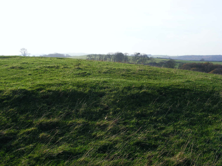
Askew Heights nearby barrow. This looks pre-roman. I have found no reference to this anywhere. It was the poster of this Askew Heights site who put me on to it by the reference in the field notes. I then used Google Earth and found an obvious landmark circular earth mound. I have visted and photographed it and I hope someone can help identify...

This is a close up of the east side of the barrow.

This is the burial mound mentioned in the final part of the notes.
SD533624

Southern entrance (foreground), hollow way trackway (left in middle distance), ditch (centre in middle distance) and mound (right)

Ditch, showing mound to right, near modern wall
Askew Heights defended enclosure commands an impressive hilltop location overlooking the Lune Valley. A modern wall, serving as the boundary between Heights Farm and Askew Hills Farm, bisects the site, the entrances are just on the Akew Hills side of the wall.
I was welcomed to Heights Farm by a pleasant, but rather bemused, farmer – I was clearly the only visitor ever to come to the site other than English Heritage, who visit about once a decade! So what can be said? The site dates from between 600BC and 400BC and comprises a mound surrounded by a ditch. The latter is up to a metre deep and 5-10 metres across. There is a small pond just on the Heights Farm side of the modern wall (site of a hut, perhaps?). The northern and southern entrances to the mound are clearly visible, and take the form of the ditch levelling with the surrounding terrain. The shape of the enclosure is oval, with maximum dimensions of about 80 x 65 metres. A hollow way (or track) leads down the hill, in a westerly direction from the southern entrance. Once you know where the defended enclosure is, it’s clearly visible from some distance, and from below it is evident how good a strategic position it occupied.
The kind farmer also pointed out to me the likely site of a prehistoric burial mound nearby at SD53386234. All in all, this is a pleasant site – good for its solitude and sense of history – if modest and unspectacular.
I have added photgraphs of the round barrow above Heights Farm.
This site is not mentioned anywhere that I can find on the internet or any online map. It IS clearly visible on Google Earth at
54° 3’19.60"N
2°42’48.89"W
There is also a standing stone about 1/3 of a mile away. Picture included.


