
Image credit: texlahoma

24/2/12

24/2/12

24/2/12

The south east corner, with Colmer’s hill in the distance.

The eastern bank and ditch.
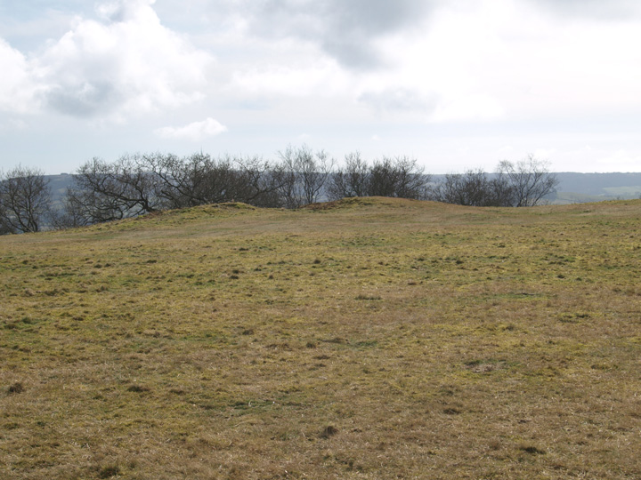
The very badly damaged round barrow.

Bronze age round barrow in the interior of the hillfort.

Part of the inner eastern rampart.

The ditch of the southern side of the fort.

The southern bank and modern entrance.

Near the entrance.

The western rampart from the north.

The south west corner.
Another visit to this hillfort after 3 years, last time I came it was a grey day and I wasn’t happy with the photo’s. This is a huge site, not including the hillfort, it was in use for many hundreds of years. Firstly there is a very badly damaged bronze age barrow within the hillfort and the iron age monument itself. There are norman pillow mounds, it was used as a racecourse in the 18th and 19th centuries. There is evidence of a napoleonic signalling station and a fair was regularly held here.
I know none of the above is necessarily relevant to this website on the face of it but I think it illustrates the importance of this site in the local area. The nearby villages are tiny and scattered and this must have been a focal point for trade. The banks are very slight and doubtful as a defensive position. Also there are other properly defensible positions very close by, Pilsdon Pen and Coneys Castle are much more viable places to be when under attack.
A medium sized, high durotrigian hillfort, from which a great view of the nearby Pilsdon pen can be seen. It is now quite heavily wooded, there are several oddly shaped mounds in its interior, these are now known to be post Norman rabbit warrens. Its banks and ditches are not as well developed as Pilsdon or Coneys castle.
During the years previous to the victory of Trafalgar, every man, woman and child along the south coast lived in dread of invasion ... Detailed preparations were made in case the enermy should appear. On the hills, such as Shipton Hill near Burton Bradstock, beacons were kept in readiness. They were to be fired immediately there came news of a landing ... Tradition also has it that women drilled with pikes on the top of Lambert’s Castle “to frighten away the French”!
From ‘Dorset – Up along and down along’ (1935).
The National Trust booklet ‘The Cerne Giant & Dorset Hill-Forts’ (2000) which is definately available at the Kingston Lacy house and might be available at other Dorset properties, gives the following directions to the hill fort at Lambert’s Castle, “from Pilsdon continue along the B3164 for 2 km and turn left onto the B3165. Drive a further 3km, the track to Lambert’s Castle is on the left”.
It adds that the name ‘Lambert’s Castle’ comes from the Anglo-Saxon personal name of ‘Lambert’ and that the earliest documented reference to the place name dates from 1044.
Note – the car park is at about SY366988.


