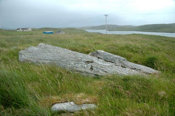
We visited this (or tried to) on the way to Airigh nam Bidearan and Druim nam Bidearan.
The problem in viewing the site is that, as stated in Canmore, an estate road now runs through it and it has subsequently been widened.
Also Canmore (unusually) gives no more than a six-figure grid reference – not accurate enough to know if you are in the right area of whatever remains.
What I can say is that, on the right as you ascend the estate road, a small excavation has been carried out by the side of the road near the (reconstructed?) beehive house. You can still see the pegs for laying out the grid. What looked like a back wall was all that was exposed.
Nothing in Canmore about this but it seems to be adding confirmation to the theory that this site was no more than a kale-yard belonging to the beehive house.
I took a photo of the excavated wall but I’m not going to post it since it has no TMA relevance.
Still worth a walk up this track though even if you are not going to the other sites. Good views over to Ceann Hulavig.
Visited 1 August 2004


