Sites within 20km of Low Feldom Farm
-
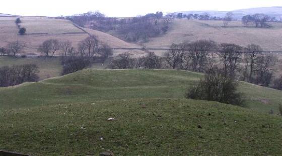
Aske Moor
-
Aske Moor (Silver Hill)
description 1 -
Whitcliffe Scar
description 2 -
Stone Man
description 1 -

Gayles Moor
photo 25description 2link 2 -

Castle Steads, Gayles
photo 3description 1 -
Cock Howe
link 1 -

Downholme
photo 2description 1 -
Holgate
description 1link 2 -

The Ravensworth Stone
photo 2description 1 -

How Hill Swaledale
photo 1 -

Frankinshaw Cairn
photo 2description 1 -

Osmonds Gill
photo 7forum 1description 2 -

How Tallon
photo 12description 3 -

Osmonds Gill Cairn
photo 1description 1 -

Barningham Moor
photo 28forum 2description 4link 2 -

Eel Hill
photo 3forum 1description 3 -

Castle, Nr Reeth
photo 5description 2 -

Grinton Round Barrow
photo 2 -

Booze
photo 3description 1 -

Harkerside Moor Circle
photo 12forum 1description 4 -
Calverside Moor Neolithic Enclosure
link 1 -

Reeth Strip Lynchets
photo 3 -

Maiden Castle (Grinton)
photo 19forum 2description 9link 3 -

Stanwick Fortifications
photo 1description 2link 1 -
Middleton Tyas – Five Hills
link 1 -
How Hill, Low Whita
photo 3description 1 -
Scorton Cursus
description 5 -
Catterick Henge
description 2link 1 -
Piercebridge Barrow Alignment
link 1 -
Bowes Barrows
description 1 -

Mudbeck
photo 2description 1 -

Mudbeck
photo 5description 1 -
Smotherlaw
-

Deepdale
photo 6forum 2description 1 -
Thackwaite Beck
description 1 -

Carperby
photo 5forum 1description 2link 1 -

Carperby B
photo 2description 1 -

Braithwaite Wood Hillfort
photo 3description 1link 1 -
Diana’s Well
description 2 -

Castle Steads, Coverham
photo 2link 1 -

The Butter Stone
photo 3description 3 -
Flamstone Pin
description 1 -

Burton Moor
photo 1forum 1link 1 -

Great Crakehall Round Barrow
photo 1description 1 -

Cowling Lane Round Barrow
photo 3description 1 -

Loup’s Hill
photo 4description 2