See field notes.
Image credit: Bazza
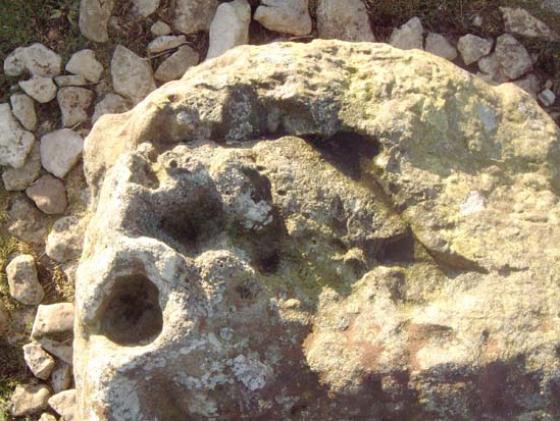
See field notes.

Carperby from the air. Taken 1st Nov 2006. Are there 2 circles?

Caperby as seen from Stoney Raise.
The monuments are on the plain below the great limestone scar


Not a brilliant picturebut the circle is in the middle distance with the lead workings in the background
I walked up to this circle via Woodhall. You could try the direct approach from the carpark at Haw Bank but I wouldn’t recommend it.
The walk from Woodhall takes you up a metalled path and then round to the ford maked on the OS map. There is no easy way past here and the stream was a raging torrent when I was there.
After the ford it’s all plain sailing. Between Haw Bank and the Ox Close Scar is a long broad plain. There has been extensive lead mining operations here and the lead mines themselves are outrageous. A huge rock face honeycombed with small tunnels.
The circle itself is on a rise just beyond these workings.
According to Burl “At Caperby near Ayresgarth in West Yorkshire are the weathered stones of an embanked oval 28 X 23.8m, its pillars of local gritstone up to 1.2m long. They lie on an overgrown bank. There is a low disturbed mound at the centre.”
I’ve not too much to add to Burl’s description. The central mound appears to have been a cairn and is 6m in diameter.
Just before you arrive at the circle you may notice a low earthwork running north to south across the terrace. The earthwork is quite a subtle feature and appears to be composed of earth & stones.There is another earthwork of a similar nature and also running north to south and terminating at the nearby ring cairn. These earthworks seem to be some form of boundary and there are a few low-lying possible cairns within this area. Possibly a prehistoric cemetary boundary?.
“The embanked stone circle (Raistrick 1929b SC2) is sited within the field system on Oxclose. A second circular enclosure is located immediately east of SC2, in the next prehistoric field, but in this instance the field bank is tangential to the western perimeter of the enclosure.”
From
Researching the Prehistory of Wensleydale, Swaledale and Teesdale
T.C. Laurie
In
The Archaeology of Yorkshire – An assessment at the beginning of the 21st century
YAS Occasional Paper No.3
2003
The YDNPA website with a description and photgraph of the site....“Originally described as a stone circle, this is now thought to be an enclosed cremation cemetery of Bronze Age date”.