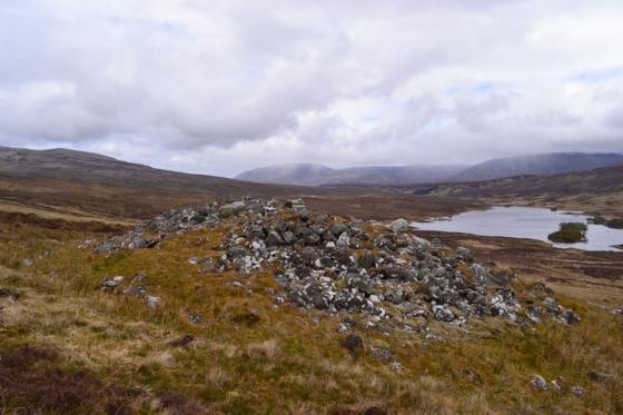
A short section of walling still showing structural detail
Image credit: Les Hamilton
A short section of walling still showing structural detail

The long stretch of walling on the east of Dun Canna

This is the deep chasm that comes close to dividing Dun Canna in two

The view south over the walling of Dun Canna to Ardmair Bay

First sighting of the ruined walls of Dun Canna after following the path from Blughasary.

The view seaward from Dun Canna
Dun Canna
June 10, 2025
A vegetated promontory located at the northeast corner of Camas Mor (a kilometre northeast of Isle Martin in Ardmair Bay) bears the remains of this Iron Age promontory fort. To visit, follow the A835 north from Ullapool for about five miles until you see a sign pointing left to Blughasary. Follow this winding road to its end where lies the small Keanchulish car park. From there, head across the stream and follow the signed footpath to “Dun Canna – 1½ miles”.
The footpath leads through a mixture of grassy and bracken covered terrain and finally ends at a breach in the eastern wall of the fort, although Canmore (now Historic Environment Scotland at trove.scot) points out that the true entrance actually lay to the north.
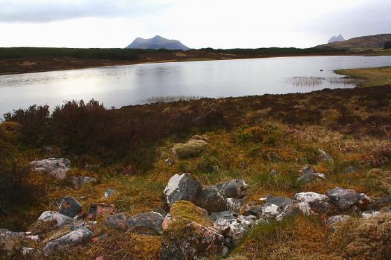
Dun Canna consists of a large, cliff-girt enclosure divided into two sections by a precipitous drop at a narrow neck of land, and is largely surrounded by substantial ruined stone walls, now reduced largely to tumble. In a few locations, it is still possible to detect structure in the walling but little else is visible nowadays.