The east side of the dun looking south east.
Image credit: drew/A/B
The east side of the dun looking south east.

Wall on the north side of the connecting path.

Underneath the north wall/cliff.

Looking north west.

Wall on the north west part of the promontory.

South wall looking down.

Wall on the south part of the promontory.

The tip of the dun.

North part of the wall.

The outer wall.

The entrance to the dun.

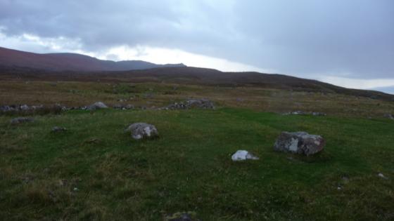
The bumps in the middle are the duns outer walls.
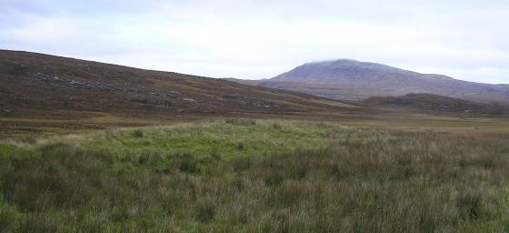
After climbing back down from Strath Polly we headed south to the end of the road at Badnagyte. Head west amongst stunning scenery, Loch Osgaig glowing in the sun, until the layby with loads of signposts and info. Follow the road, north west, to Auchnahaird, then take the first minor road heading east. There is a parking place at the end of this road.
Achnahaird Sands regularly features in ‘Best Beaches’ and attracts a lot of visitors. There is a track that leads from the parking place that skirts past the dun. Thankfully not to many people are aware of what they walk past.
A small promontory indicates the dun and this might have been slightly longer but has been damaged by erosion. Very close to the path there is the outer rampart/wall indicated by large stones curving round at 7m in length. Another wall can be seen closer to the internal dun which is also surrounded by a wall. It is a small site being 5m square. A possible entrance was probably on the north west. If you clamber onto beach you can see more stonework on the north side.
Amazing what you can see beside a path.
Visited 13/10/2020.