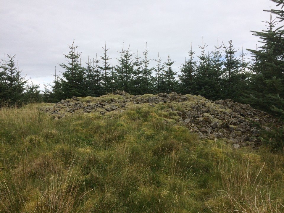
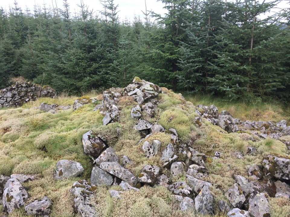
Cairnfore is a robbed out cairn just over the South Ayrshire border 250 yards from the B road between Glentrool Village and Straiton.
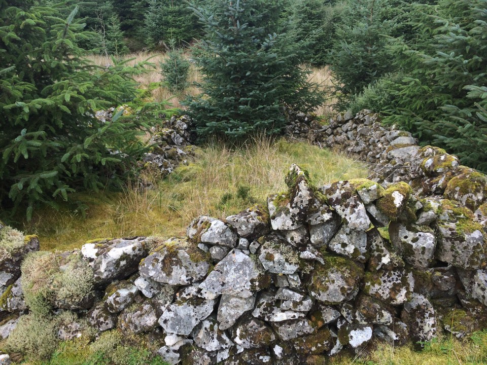
It is around 25 yards across and 5 feet high with a robbed out centre axis. The cairn's stones have not travelled far: there is an adjacent sheepfold and enclosure. The moss covering over the cairn gives it an air of antiquity and its circle of trees add to the ambiance.
Cairnfore is catalogued as Canmore ID 63042 (go to Links).
Directions: From Newton Stewart take the A714 Girvan road turn R at Bargrenan for Glentrool Village. Follow this road for around 5 miles. After the Kirriereoch sign park up in the next L for Ferter Forestry Road around 0.5 miles later.
Walk N for 125 yards until there is a gap in the trees covered in ferns. The use of a GPS device is almost essential as there is not an official path to Cairnfore Cairn at NX 3554 8707. Make your best way uphill to this grid ref or cairn symbol on your map. It is around 250 yards uphill to the clearing with the cairn & sheepfold.