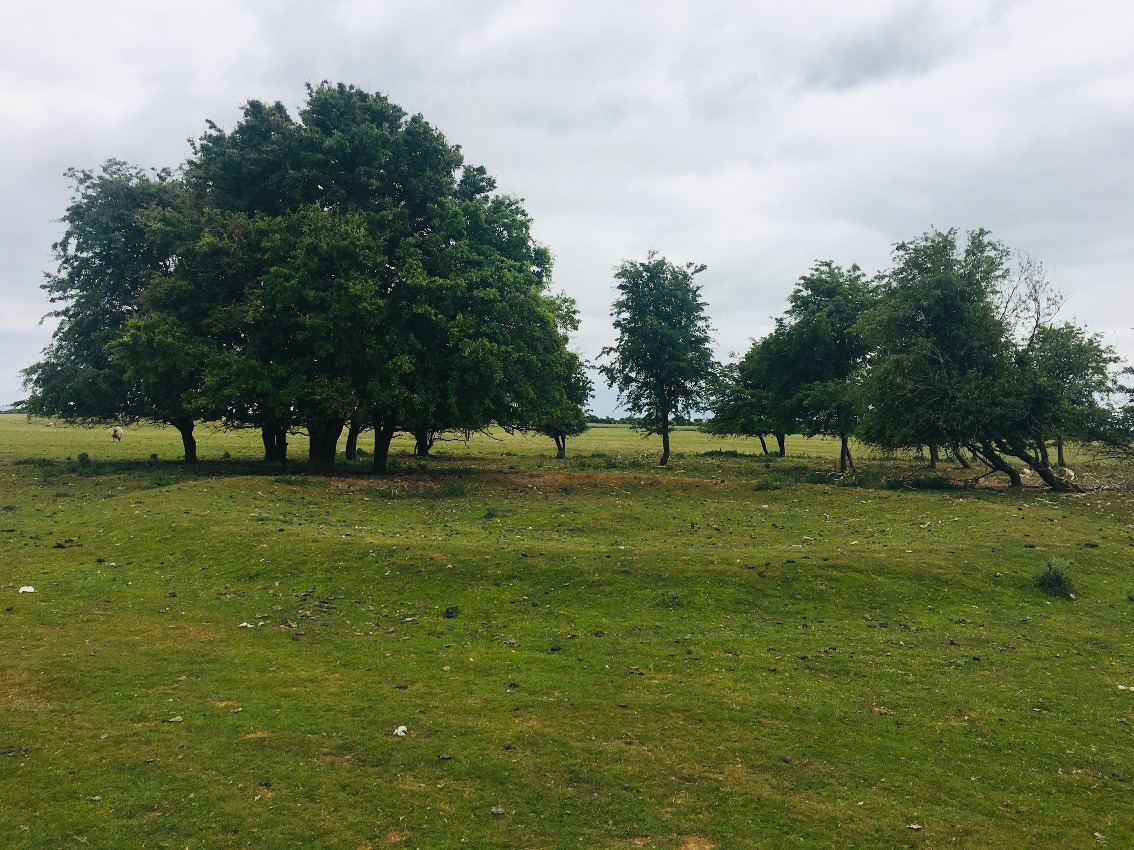
The Modern Antiquarian
Log in
|
Register
Home
Latest Posts
Forums
Maps
Help
Browse Sites
News
Blog
Contributors
The Books
Select
-
Belgium
Denmark
Eire
France
Germany
Greece
Italy
The Netherlands
Norway
Portugal
Republic of Malta
Spain
Sweden
Switzerland
United Kingdom
County Kildare
Little Curragh
Curragh (Kildare ED)
Round Barrow(s)
Curragh (Kildare ED) (Round Barrow(s)) on The Modern Antiquarian, the UK & Ireland's most popular megalithic community website. 2 images, plus information on many more ancient sites nearby and across the UK & Ireland.
Image © ryaner
Nearest Town:
Kildare (2km W)
OS Ref (IE):
N748126 /
Sheet: 55
Latitude:
53° 9' 31.22" N
Longitude:
6° 52' 53.87" W
Added by
ryaner
Images (2)
0 discussions
Start a topic
Show |
Hide
Web searches for Curragh (Kildare ED)
Flickr
Google
Google Images
The Megalithic Portal
Bing
Stone Pages
Wikipedia
Show map
(inline Google Map)
- Sites within 20 km -
-
Little Curragh X (0.8km NW) (1 post)
Little Curragh VIX (0.81km NNW) (1 post)
Curragh Racecourse (1.06km NE) (1 post)
Little Curragh Barrow II (1.39km NW) (3 posts)
Little Curragh Barrow IV (1.4km NNW) (4 posts)
Little Curragh Barrow VIII (1.43km NNE) (1 post)
Little Curragh Barrow III (1.43km NNW) (5 posts)
Curragh (Kildare ED) (1.65km NNE) (7 posts)
Gibbet Rath (1.65km E) (7 posts)
Little Curragh Barrow I (1.65km NW) (7 posts)
Curragh (Kildare ED) I (1.74km E) (1 post)
Kildare (1.79km W) (3 posts)
Little Curragh Barrow V (1.8km N) (6 posts)
Little Curragh Barrow VI (1.82km N) (5 posts)
Curragh (Kildare ED) II (1.89km E) (4 posts)
Curragh Racecourse (1.92km ENE) (1 post)
Little Curragh Barrow VII (2.04km N) (1 post)
Curragh (3.51km ESE) (1 post)
Curragh (3.99km ENE) (1 post)
Red Hill (5.08km W) (5 posts)
Chair of Kildare (5.55km NW) (5 posts)
Hill of Allen (7.96km N) (7 posts)
Grangebeg (8.27km WSW) (2 posts)
Dun Ailinne (9.09km ESE) (5 posts)
Old Kilcullen (9.9km ESE) (1 post)
Rathangan (10.53km WNW) (8 posts)
Kilgowen (11.94km ESE) (12 posts)
Brewell's Hill (14.02km ESE) (1 post)
Brewell's Hill (14.02km ESE) (3 posts)
Brewell's Hill (14.09km ESE) (13 posts)
Kingsland (14.11km ESE) (5 posts)
Barretstown Hill (16.39km NE) (1 post)
Killeen Cormac (16.64km SE) (4 posts)
Ballybought (16.74km E) (3 posts)
Craddockstown West (16.75km ENE) (9 posts)
Mullamast Rath (16.83km SSE) (6 posts)
Mullamast Barrows (16.94km SSE) (2 posts)
Punchestown (17.09km ENE) (6 posts)
Mullamast Long Stone (17.17km SSE) (5 posts)
Punchestown Standing Stone (17.28km ENE) (15 posts)
Ballybought (17.43km E) (5 posts)
The Ring (17.46km ENE) (0 posts)
Tornant Lower (17.49km ESE) (2 posts)
Ballymore Eustace West (17.9km E) (5 posts)
Tornant Upper (17.91km ESE) (8 posts)
Clonkeen (17.93km WNW) (5 posts)
Firmount East (18.06km NE) (1 post)
Ticknevin (18.06km NW) (2 posts)
Longstone (18.1km E) (0 posts)
Crehelp II (18.27km E) (4 posts)
Bishopsland (18.72km E) (3 posts)
Whiteleas (18.81km E) (11 posts)
Kinsellastown (18.81km E) (3 posts)
Broadleas (18.83km E) (34 posts)
Kinsellastown II (18.85km E) (2 posts)
Maudlings (18.9km ENE) (4 posts)
Plezica (19.04km ESE) (9 posts)
Baltracy (19.16km ENE) (1 post)
Crehelp (19.4km E) (1 post)
Crehelp (19.4km E) (6 posts)
Clane (19.57km NE) (4 posts)
Forenachts (19.89km ENE) (3 posts)
- Add -
-
Add news
Add an image
Add fieldnotes
Add folklore
Add miscellaneous
Add a link
-
Add a site
Add a nearby facility
Add an alternative name/spelling
Images
(click to view fullsize)
Add an image