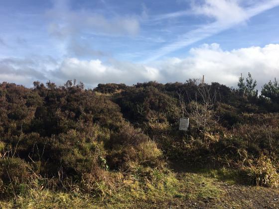
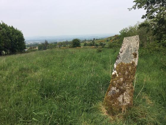
These two stones are on the OS map and are listed, with a description, on the SMR at archaeology.ie. It says there that they “may have been removed after 2005” and this is indeed the case.
Articles
Sites within 20km of Staholmog
-

Mullaghey
photo 4description 1 -

Nobberbeg
photo 5forum 1description 1 -

Knock
photo 2 -

Arch Hall
photo 4description 2 -

Eden
photo 3description 1 -

Teltown
photo 1 -

Rathkenny
photo 7description 1 -

Edengora
photo 10 -

Ervey
photo 7description 1 -
Carnhill
-

Mullagha
photo 5description 1 -

Killeter Hill
photo 2description 1 -

Stackallan
photo 2 -

Cornaville North
photo 8 -

Balnagon Upper stone pair
photo 3description 1 -

Slieve Beagh
photo 10description 3 -

Rathbran More
photo 4description 2 -
Davidstown Barrow
-

Gernonstown
photo 4description 1 -

Gernonstown
photo 1description 1 -
The Stuck Stone
forum 2 -

Clonasillagh
photo 5description 1 -

Mullagharoy
photo 4forum 1 -

Clonasillagh Cairn
photo 3description 2 -

Clonasillagh Decorated Stone
photo 3description 2 -

Corraweelis
photo 3 -

Hurlstone
photo 6forum 1 -

King’s Mountain
photo 8forum 1description 3 -
White Mountain
-
Loughanleagh
description 2link 1 -

Moyer
photo 3 -
Purcellstown
-

Lough an Leighis (Lake of the Cures)
photo 1 -

Drumsallagh
photo 3description 1 -
Belpatrick
-
Mohercroom
-
Rathmaiden
-
Dunmore
-
Rahans Lough
-
Corracon
-
Hill of Slane Barrow
link 1 -
Blakestown
-

Kingstown & Carnuff Great
photo 1 -
Raffony
-
Hill of Slane Souterrain
-
Mullameelan
-

Mullaghash
photo 2description 1 -

Mullaghash
photo 2 -
Stanley Hill
-
Gallows Hill
-

Mount Oriel
photo 3 -

Bobsville
photo 7forum 1description 1 -

The Well of The White Cow
photo 1description 2 -

Thomastown
photo 6description 2 -
Johnstown
-
Tullyallen Lough
-
Painestown
-

Patrickstown Standing Stone
photo 3description 1 -

Ardsallagh
photo 2 -

Galboystown
photo 1 -

Patrickstown
photo 5description 1 -

Cairn Y
photo 4description 1 -

Iskaroon
photo 3description 2