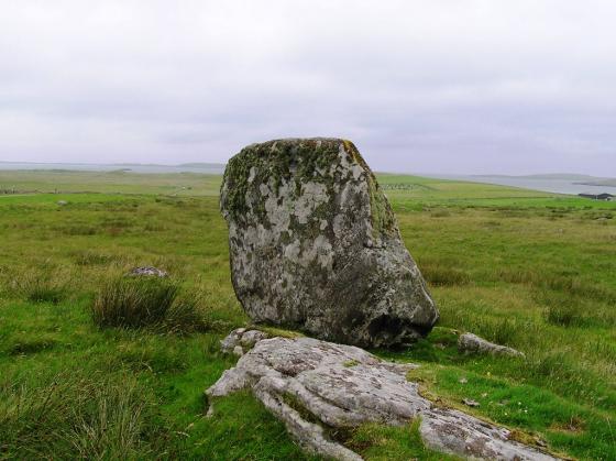
Taken from near the road.
Image credit: drew/A/B

Taken from near the road.

From the north west the dun is in the centre.
Dun Grogary appears to be on a promontory but it is a case of landfill being put in and around the causeway, traces of which can still be seen heading west to higher ground.
The site is 13m wide and 1.5m tall, the surrounding wall having fallen. Be sure if visiting this site you take appropriate footwear as the approach is extremely boggy.
From Dun Scarie follow the road as it briefly nears the coast and head back east. I parked at the stream at the north west of Loch Grogary.
Lovely site but boggy approach.
Visited 24/7/2019.


